350 Black Brook Rd Sanbornton, NH 03269
Sanbornton NeighborhoodEstimated Value: $1,633,000 - $1,940,508
3
Beds
3
Baths
3,041
Sq Ft
$596/Sq Ft
Est. Value
About This Home
This home is located at 350 Black Brook Rd, Sanbornton, NH 03269 and is currently estimated at $1,812,877, approximately $596 per square foot. 350 Black Brook Rd is a home located in Belknap County with nearby schools including Sanbornton Central School, Winnisquam Regional Middle School, and Winnisquam Regional High School.
Ownership History
Date
Name
Owned For
Owner Type
Purchase Details
Closed on
Nov 8, 2024
Sold by
Hanley Richard C and Hanley Lucille S
Bought by
Walles Point T and Hanley
Current Estimated Value
Purchase Details
Closed on
Jun 1, 1992
Bought by
Hanley Richard
Create a Home Valuation Report for This Property
The Home Valuation Report is an in-depth analysis detailing your home's value as well as a comparison with similar homes in the area
Home Values in the Area
Average Home Value in this Area
Purchase History
| Date | Buyer | Sale Price | Title Company |
|---|---|---|---|
| Walles Point T | -- | None Available | |
| Hanley Richard | -- | -- |
Source: Public Records
Mortgage History
| Date | Status | Borrower | Loan Amount |
|---|---|---|---|
| Previous Owner | Hanley Richard | $350,000 |
Source: Public Records
Tax History Compared to Growth
Tax History
| Year | Tax Paid | Tax Assessment Tax Assessment Total Assessment is a certain percentage of the fair market value that is determined by local assessors to be the total taxable value of land and additions on the property. | Land | Improvement |
|---|---|---|---|---|
| 2024 | $21,897 | $1,709,400 | $1,235,800 | $473,600 |
| 2023 | $20,581 | $1,709,400 | $1,235,800 | $473,600 |
| 2022 | $17,756 | $893,600 | $607,500 | $286,100 |
| 2021 | $16,424 | $893,600 | $607,500 | $286,100 |
| 2020 | $18,033 | $893,600 | $607,500 | $286,100 |
| 2019 | $17,175 | $893,600 | $607,500 | $286,100 |
| 2018 | $14,317 | $913,600 | $606,600 | $307,000 |
| 2017 | $14,303 | $605,300 | $349,500 | $255,800 |
| 2016 | $14,303 | $605,300 | $349,500 | $255,800 |
| 2015 | $14,533 | $605,300 | $349,500 | $255,800 |
| 2014 | $13,904 | $605,300 | $349,500 | $255,800 |
| 2013 | $10,697 | $465,700 | $349,500 | $116,200 |
Source: Public Records
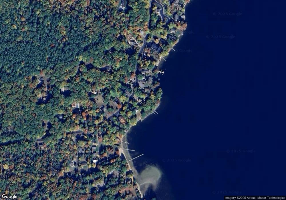
Map
Nearby Homes
- 32 Eastman Shore Rd S
- 11 Penny Ln
- 92 Leavitt Rd
- 0 Black Brook Rd Unit 5063655
- 118 Upper Bay Rd
- 1480 Old North Main St Unit 6
- 1480 Old N Main St Unit 14
- 130 Upper Smith Rd
- 1420 Old North Main St
- 36 New Rd
- 16 Birchwood Way
- 6 Anthony Dr
- 100 Lower Bay Rd
- 58 Shore Dr
- 20 Linny Ln
- 2 Clover Ln
- 1 Clover Ln Unit 1
- 12 Clover Ln
- 918 N Main St Unit 7
- 906 N Main St
- 346 Black Brook Rd
- 23 Winni Park Rd
- 349 Black Brook Rd
- 345 Black Brook Rd
- 25 Winni Park Rd
- 355 Black Brook Rd
- 344 Black Brook Rd
- 363 Black Brook Rd
- 343 Black Brook Rd
- 364 Black Brook Rd
- 342 Black Brook Rd
- 341 Black Brook Rd
- 334 Black Brook Rd
- 368 Black Brook Rd
- 11 Candlewood Ave
- 15 Candlewood Ave
- 2 Winni Park Rd
- 373 Black Brook Rd
- 25 Spring Rd
- 1 Winni Park Rd