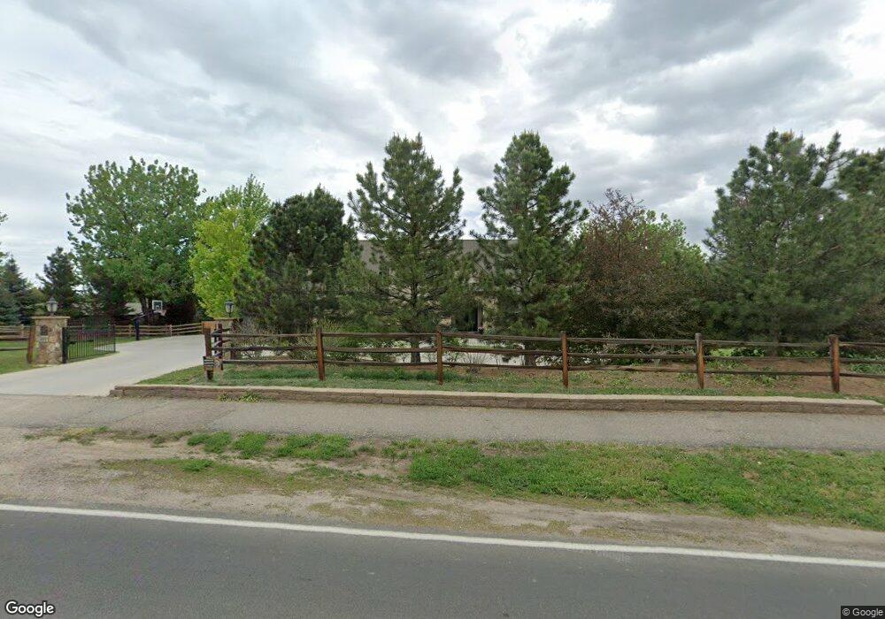
350 Rangeview Dr Littleton, CO 80120
Heritage NeighborhoodEstimated Value: $1,783,000 - $3,583,000
5
Beds
8
Baths
5,335
Sq Ft
$556/Sq Ft
Est. Value
About This Home
This home is located at 350 Rangeview Dr, Littleton, CO 80120 and is currently estimated at $2,965,736, approximately $555 per square foot. 350 Rangeview Dr is a home located in Arapahoe County with nearby schools including Runyon Elementary School, Euclid Middle School, and Heritage High School.
Ownership History
Date
Name
Owned For
Owner Type
Purchase Details
Closed on
May 13, 2013
Sold by
The Mathis Family Trust
Bought by
Brayton Sarah E and Brayton Tyler J
Current Estimated Value
Purchase Details
Closed on
Feb 28, 2008
Sold by
Mathis Family Trust
Bought by
Zilk D Jerry and Sawyer Jon
Purchase Details
Closed on
Dec 2, 2005
Sold by
Masteller Living Trust
Bought by
Mathis Family Trust
Purchase Details
Closed on
Jul 4, 1776
Bought by
Conversion Arapco
Create a Home Valuation Report for This Property
The Home Valuation Report is an in-depth analysis detailing your home's value as well as a comparison with similar homes in the area
Home Values in the Area
Average Home Value in this Area
Purchase History
| Date | Buyer | Sale Price | Title Company |
|---|---|---|---|
| Brayton Sarah E | $650,000 | Land Title Guarantee Company | |
| Zilk D Jerry | -- | None Available | |
| Mathis Family Trust | $649,029 | Fahtco | |
| Conversion Arapco | -- | -- |
Source: Public Records
Tax History
| Year | Tax Paid | Tax Assessment Tax Assessment Total Assessment is a certain percentage of the fair market value that is determined by local assessors to be the total taxable value of land and additions on the property. | Land | Improvement |
|---|---|---|---|---|
| 2025 | $24,097 | $220,375 | -- | -- |
| 2024 | $22,534 | $235,659 | -- | -- |
| 2023 | $22,534 | $235,659 | $0 | $0 |
| 2022 | $14,336 | $141,204 | $0 | $0 |
| 2021 | $13,517 | $141,204 | $0 | $0 |
| 2020 | $12,733 | $129,415 | $0 | $0 |
| 2019 | $11,979 | $129,415 | $0 | $0 |
| 2018 | $11,370 | $130,550 | $0 | $0 |
| 2017 | $10,535 | $130,550 | $0 | $0 |
| 2016 | $11,264 | $134,108 | $0 | $0 |
| 2015 | $11,292 | $134,108 | $0 | $0 |
| 2014 | -- | $85,432 | $0 | $0 |
| 2013 | -- | $23,280 | $0 | $0 |
Source: Public Records
Map
Nearby Homes
- 7252 S Costilla St
- 7604 S Datura Cir W
- 7019 S Windermere St
- 2480 W Jamison Way
- 7475 S Houstoun Waring Cir
- 7132 S Bryant St Unit 232
- 7132 S Bryant St Unit 231
- 1148 W Hinsdale Dr
- 2805 W Davies Dr
- 7751 S Curtice Dr Unit F
- 2783 W Long Dr Unit B
- 7120 S Clay St
- 7743 S Nevada Dr
- 3004 W Long Dr Unit B
- 7771 S Curtice Dr Unit A
- 2980 W Long Dr Unit B
- 2871 W Long Dr Unit A
- 1631 W Canal Cir Unit 832
- 1631 W Canal Cir Unit 817
- 2885 W Long Cir Unit B
- 300 Rangeview Dr
- 303 Shadycroft Ln
- 300 Shadycroft Dr
- 365 Rangeview Dr
- 400 Rangeview Dr
- 302 Shadycroft Ln
- 405 Rangeview Dr
- 200 Rangeview Dr
- 310 Shadycroft Dr
- 401 Shadycroft Ln
- 205 Rangeview Dr
- 7230 S Prince St
- 400 Shadycroft Ln
- 1715 Graham Ln
- 980 Front Range Rd
- 500 Rangeview Dr
- 330 Shadycroft Dr
- 1720 Graham Ln
- 7200 S Prince St
- 640 Front Range Rd
Your Personal Tour Guide
Ask me questions while you tour the home.