350 Stones Point Rd Cushing, ME 04563
Estimated Value: $887,000 - $1,118,915
--
Bed
--
Bath
--
Sq Ft
2.18
Acres
About This Home
This home is located at 350 Stones Point Rd, Cushing, ME 04563 and is currently estimated at $985,638. 350 Stones Point Rd is a home with nearby schools including Cushing Community School and Oceanside High School East.
Ownership History
Date
Name
Owned For
Owner Type
Purchase Details
Closed on
Sep 2, 2021
Sold by
Dalpozzal James V
Bought by
Dalpozzal James V and Dalpozzal Shannon H
Current Estimated Value
Purchase Details
Closed on
Oct 19, 2009
Sold by
Clark-Dalpozzal Beverly
Bought by
Dalpozzal James Victor
Home Financials for this Owner
Home Financials are based on the most recent Mortgage that was taken out on this home.
Original Mortgage
$173,000
Interest Rate
5.14%
Mortgage Type
Commercial
Purchase Details
Closed on
Aug 12, 2009
Sold by
Clark-Dalpozzal Beverly
Bought by
Dalpozzal James Victor and Clark-Dalpozzal Beverly
Create a Home Valuation Report for This Property
The Home Valuation Report is an in-depth analysis detailing your home's value as well as a comparison with similar homes in the area
Home Values in the Area
Average Home Value in this Area
Purchase History
| Date | Buyer | Sale Price | Title Company |
|---|---|---|---|
| Dalpozzal James V | -- | None Available | |
| Dalpozzal James Victor | -- | -- | |
| Dalpozzal James Victor | -- | -- |
Source: Public Records
Mortgage History
| Date | Status | Borrower | Loan Amount |
|---|---|---|---|
| Previous Owner | Dalpozzal James Victor | $173,000 |
Source: Public Records
Tax History Compared to Growth
Tax History
| Year | Tax Paid | Tax Assessment Tax Assessment Total Assessment is a certain percentage of the fair market value that is determined by local assessors to be the total taxable value of land and additions on the property. | Land | Improvement |
|---|---|---|---|---|
| 2024 | $9,758 | $907,760 | $337,300 | $570,460 |
| 2023 | $8,947 | $559,210 | $277,920 | $281,290 |
| 2022 | $8,668 | $559,210 | $277,920 | $281,290 |
| 2021 | $8,724 | $559,210 | $277,920 | $281,290 |
| 2020 | $1,913 | $559,210 | $277,920 | $281,290 |
| 2019 | $4,963 | $559,210 | $277,920 | $281,290 |
| 2018 | $7,661 | $559,210 | $277,920 | $281,290 |
| 2017 | $7,273 | $559,480 | $278,190 | $281,290 |
| 2016 | $7,273 | $559,480 | $278,190 | $281,290 |
| 2015 | $6,882 | $559,480 | $278,190 | $281,290 |
| 2014 | $6,322 | $559,480 | $278,190 | $281,290 |
Source: Public Records
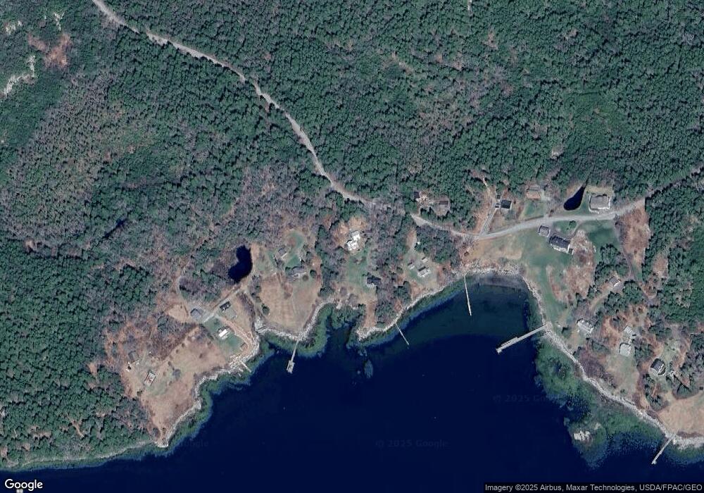
Map
Nearby Homes
- 250 Davis Point Rd
- 28 Orne Ln
- 794 Pleasant Point Rd
- 79 Glenmere Rd
- 394 Hathorne Point Rd
- 6 Glenmere Rd
- 47 Teel Cove Rd
- 576 Pleasant Point Rd
- M214 L23C1 Autumn Marsh Rd
- 211 Turkey Cove Rd
- 23 Cottage Dr
- 176 Harbor Rd
- 175 Ridge Rd
- 111 Davis Point Loop
- 127 Harbor Rd
- 253 Hathorne Point Rd
- 110 Cushing Rd
- 5 Harbor Rd
- 43 Tamarack Ln
- M217 L074 Kallio Cove Rd
- 341 Stones Point Rd
- 44 Spring Ln
- 325 Stones Point Rd
- 11 Seavey Ln
- 15 Seavey Ln
- 21 Seavey Ln
- 32 Seavey Ln
- 296 Stones Point Rd
- 21 Franks Ln
- 35 Franks Ln
- 14 Dunn Ln
- 258 Stones Point Rd
- 9 Dunn Ln
- 1114 Pleasant Point Rd
- 12 Weston Ln
- 250 Stones Point Rd
- 1025 Pleasant Point Rd
- 16 Morse Ln
- 16 Morse Ln
- 1134 Pleasant Point Rd