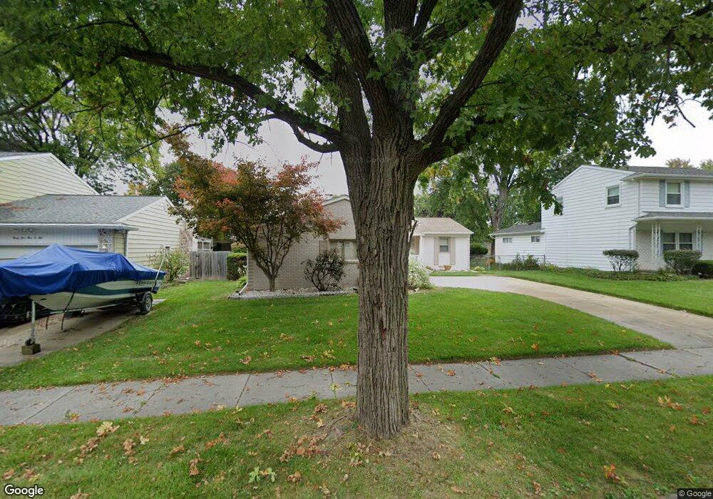
3500 Gingersnap Ln Lansing, MI 48911
Averill Woods NeighborhoodEstimated Value: $215,680 - $242,000
--
Bed
1
Bath
1,395
Sq Ft
$163/Sq Ft
Est. Value
About This Home
This home is located at 3500 Gingersnap Ln, Lansing, MI 48911 and is currently estimated at $227,420, approximately $163 per square foot. 3500 Gingersnap Ln is a home located in Ingham County with nearby schools including Averill Elementary School, Attwood School, and J.W. Sexton High School.
Ownership History
Date
Name
Owned For
Owner Type
Purchase Details
Closed on
Jul 21, 2025
Sold by
Cannon Denise
Bought by
Cannon Denise and Cannon-Gwin Khori
Current Estimated Value
Purchase Details
Closed on
Apr 14, 2011
Sold by
Yerxa Arnold C and Yerxa Mary Ellen
Bought by
Federal National Mortgage Association
Purchase Details
Closed on
Aug 1, 1995
Create a Home Valuation Report for This Property
The Home Valuation Report is an in-depth analysis detailing your home's value as well as a comparison with similar homes in the area
Home Values in the Area
Average Home Value in this Area
Purchase History
| Date | Buyer | Sale Price | Title Company |
|---|---|---|---|
| Cannon Denise | -- | None Listed On Document | |
| Federal National Mortgage Association | $59,200 | None Available | |
| -- | $92,900 | -- |
Source: Public Records
Tax History Compared to Growth
Tax History
| Year | Tax Paid | Tax Assessment Tax Assessment Total Assessment is a certain percentage of the fair market value that is determined by local assessors to be the total taxable value of land and additions on the property. | Land | Improvement |
|---|---|---|---|---|
| 2025 | $3,394 | $97,600 | $10,600 | $87,000 |
| 2024 | $27 | $94,800 | $10,600 | $84,200 |
| 2023 | $3,182 | $82,300 | $10,600 | $71,700 |
| 2022 | $2,867 | $74,800 | $10,600 | $64,200 |
| 2021 | $2,808 | $68,500 | $10,000 | $58,500 |
| 2020 | $2,816 | $66,500 | $10,000 | $56,500 |
| 2019 | $2,658 | $59,200 | $10,000 | $49,200 |
| 2018 | $2,408 | $51,700 | $10,000 | $41,700 |
| 2017 | $2,306 | $51,700 | $10,000 | $41,700 |
| 2016 | $2,205 | $45,800 | $10,000 | $35,800 |
| 2015 | $2,205 | $42,000 | $19,984 | $22,016 |
| 2014 | $2,205 | $39,200 | $19,984 | $19,216 |
Source: Public Records
Map
Nearby Homes
- 3600 Sandhurst Dr
- 2838 Sunderland Rd
- 3510 Christine Dr
- 3200 Lawdor Rd
- 2800 S Waverly Hwy
- 4.5 Locust Ln
- 2 Locust Ln
- 3700 W Holmes Rd
- 3425 Cooley Dr
- 3614 Cooley Dr
- 3811 Cooley Dr
- 3421 Troon Cir Unit 29
- 2905 S Catherine St
- 0 S Deerfield Ave
- 2710 Bedford Rd
- 3508 Muirfield Dr
- 3601 Muirfield Dr
- 3212 Ingham St
- 3334 Ingham St
- 3100 Glenbrook Dr
- 3500 Ginger
- 3506 Gingersnap Ln
- 3432 Gingersnap Ln
- 3501 Sandhurst Dr
- 3512 Gingersnap Ln
- 3426 Gingersnap Ln
- 3505 Sandhurst Dr
- 3425 Sandhurst Dr
- 3511 Sandhurst Dr
- 3419 Sandhurst Dr
- 3507 Ginger Snap Ln
- 3501 Gingersnap Ln
- 3518 Gingersnap Ln
- 3420 Gingersnap Ln
- 3435 Gingersnap Ln
- 3507 Gingersnap Ln
- 3507 Ginger
- 3420 Ginger Snap Ln
- 3429 Gingersnap Ln
- 3411 Sandhurst Dr