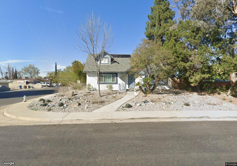
3500 Kaibab Ave Bakersfield, CA 93306
College Heights NeighborhoodEstimated Value: $353,456 - $395,000
4
Beds
2
Baths
1,451
Sq Ft
$257/Sq Ft
Est. Value
About This Home
This home is located at 3500 Kaibab Ave, Bakersfield, CA 93306 and is currently estimated at $372,364, approximately $256 per square foot. 3500 Kaibab Ave is a home located in Kern County with nearby schools including Colonel Howard Nichols Elementary School, Chipman Junior High School, and Highland High School.
Ownership History
Date
Name
Owned For
Owner Type
Purchase Details
Closed on
Nov 27, 2000
Sold by
Jet Group Tr and Donald A
Bought by
Coomber Jeffrey S
Current Estimated Value
Home Financials for this Owner
Home Financials are based on the most recent Mortgage that was taken out on this home.
Original Mortgage
$108,300
Outstanding Balance
$40,226
Interest Rate
7.81%
Estimated Equity
$332,138
Create a Home Valuation Report for This Property
The Home Valuation Report is an in-depth analysis detailing your home's value as well as a comparison with similar homes in the area
Home Values in the Area
Average Home Value in this Area
Purchase History
| Date | Buyer | Sale Price | Title Company |
|---|---|---|---|
| Coomber Jeffrey S | $114,000 | Fidelity National Title Co |
Source: Public Records
Mortgage History
| Date | Status | Borrower | Loan Amount |
|---|---|---|---|
| Open | Coomber Jeffrey S | $108,300 |
Source: Public Records
Tax History
| Year | Tax Paid | Tax Assessment Tax Assessment Total Assessment is a certain percentage of the fair market value that is determined by local assessors to be the total taxable value of land and additions on the property. | Land | Improvement |
|---|---|---|---|---|
| 2025 | $2,606 | $171,753 | $45,191 | $126,562 |
| 2024 | $2,548 | $168,386 | $44,305 | $124,081 |
| 2023 | $2,548 | $165,086 | $43,437 | $121,649 |
| 2022 | $2,484 | $161,850 | $42,586 | $119,264 |
| 2021 | $2,374 | $158,677 | $41,751 | $116,926 |
| 2020 | $2,336 | $157,051 | $41,323 | $115,728 |
| 2019 | $2,289 | $157,051 | $41,323 | $115,728 |
| 2018 | $2,235 | $150,954 | $39,719 | $111,235 |
| 2017 | $2,221 | $147,995 | $38,941 | $109,054 |
| 2016 | $2,040 | $145,094 | $38,178 | $106,916 |
| 2015 | $6,731 | $142,916 | $37,605 | $105,311 |
| 2014 | $1,959 | $140,118 | $36,869 | $103,249 |
Source: Public Records
Map
Nearby Homes
- 3506 Kaibab Ave
- 3501 University Ave
- 3418 Kaibab Ave
- 3512 Kaibab Ave
- 3331 Boise St
- 3507 University Ave
- 3413 University Ave
- 3324 Colgate Ln
- 3513 University Ave
- 3412 Kaibab Ave
- 3419 Kaibab Ave
- 3518 Kaibab Ave
- 3325 Boise St
- 3407 University Ave
- 3318 Colgate Ln
- 3519 University Ave
- 3413 Kaibab Ave
- 3406 Kaibab Ave
- 3600 Kaibab Ave
- 3418 Blade Ave