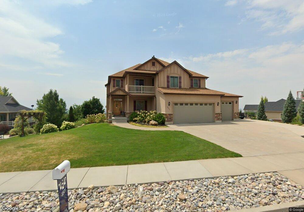
3501 N 1800 E Unit 6 North Logan, UT 84341
Estimated Value: $776,800 - $973,000
--
Bed
--
Bath
2,620
Sq Ft
$327/Sq Ft
Est. Value
About This Home
This home is located at 3501 N 1800 E Unit 6, North Logan, UT 84341 and is currently estimated at $857,200, approximately $327 per square foot. 3501 N 1800 E Unit 6 is a home located in Cache County with nearby schools including Greenville School, Cedar Ridge School, and Cedar Ridge Middle School.
Ownership History
Date
Name
Owned For
Owner Type
Purchase Details
Closed on
Jan 2, 2014
Sold by
Bray Daniel E and Bray Annie P
Bought by
Hughes Robert and Hughes Haley
Current Estimated Value
Purchase Details
Closed on
Feb 8, 2008
Sold by
Visionary Homes Inc
Bought by
Bray Daniel E and Bray Annie P
Home Financials for this Owner
Home Financials are based on the most recent Mortgage that was taken out on this home.
Original Mortgage
$35,000
Interest Rate
10%
Mortgage Type
Unknown
Create a Home Valuation Report for This Property
The Home Valuation Report is an in-depth analysis detailing your home's value as well as a comparison with similar homes in the area
Home Values in the Area
Average Home Value in this Area
Purchase History
| Date | Buyer | Sale Price | Title Company |
|---|---|---|---|
| Hughes Robert | -- | Backman | |
| Bray Daniel E | -- | Cache Title Company |
Source: Public Records
Mortgage History
| Date | Status | Borrower | Loan Amount |
|---|---|---|---|
| Previous Owner | Bray Daniel E | $35,000 | |
| Previous Owner | Bray Daniel E | $66,000 |
Source: Public Records
Tax History Compared to Growth
Tax History
| Year | Tax Paid | Tax Assessment Tax Assessment Total Assessment is a certain percentage of the fair market value that is determined by local assessors to be the total taxable value of land and additions on the property. | Land | Improvement |
|---|---|---|---|---|
| 2025 | $2,915 | $408,100 | $0 | $0 |
| 2024 | $3,027 | $394,300 | $0 | $0 |
| 2023 | $3,250 | $391,380 | $0 | $0 |
| 2022 | $3,401 | $391,380 | $0 | $0 |
| 2021 | $3,291 | $586,736 | $90,000 | $496,736 |
| 2020 | $3,124 | $521,945 | $90,000 | $431,945 |
| 2019 | $3,271 | $521,944 | $90,000 | $431,944 |
| 2018 | $2,963 | $457,665 | $72,000 | $385,665 |
| 2017 | $2,973 | $241,615 | $0 | $0 |
| 2016 | $3,020 | $219,865 | $0 | $0 |
| 2015 | $2,760 | $219,865 | $0 | $0 |
| 2014 | $2,697 | $219,865 | $0 | $0 |
| 2013 | -- | $221,105 | $0 | $0 |
Source: Public Records
Map
Nearby Homes
- Lincoln Plan at Lone Cedar
- Westbrook Plan at Lone Cedar
- Scottsford Plan at Lone Cedar
- Edgeworth Plan at Lone Cedar
- Brantwood Plan at Lone Cedar
- Vanbrough Plan at Lone Cedar
- Canyon Plan at Lone Cedar
- Jefferson Plan at Lone Cedar
- Chamberlain Plan at Lone Cedar
- Hamilton Plan at Lone Cedar
- Kensington Plan at Lone Cedar
- Huntington Plan at Lone Cedar
- Stanton Plan at Lone Cedar
- Ravenstone Plan at Lone Cedar
- Crimson Plan at Lone Cedar
- Cedar Ridge Plan at Lone Cedar
- Denford Plan at Lone Cedar
- Monroe Plan at Lone Cedar
- Viewside Plan at Lone Cedar
- Fairway Plan at Lone Cedar
- 3501 N 1800 E
- 1715 N Bronco Rd
- 1715 E 3450 N Unit 7
- 1715 E 3450 N
- 1718 E 3550 N Unit 5
- 1718 E 3550 N Unit 5
- 1718 E Mahogany Dr
- 3493 N 1860 Cir E
- 1697 E 3450 N
- 1615 N Bronco Rd Unit 5
- 3474 N 1800 E Unit 10
- 1696 E 3550 N Unit 4
- 1679 E 3450 N
- 1708 Bronco Rd Unit 8
- 1708 E 3450 N
- 3433 N 1800 E
- 1684 E 3450 N
- 3454 N 1800 E
- 1674 E 3550 N
- 3415 N 1730 E