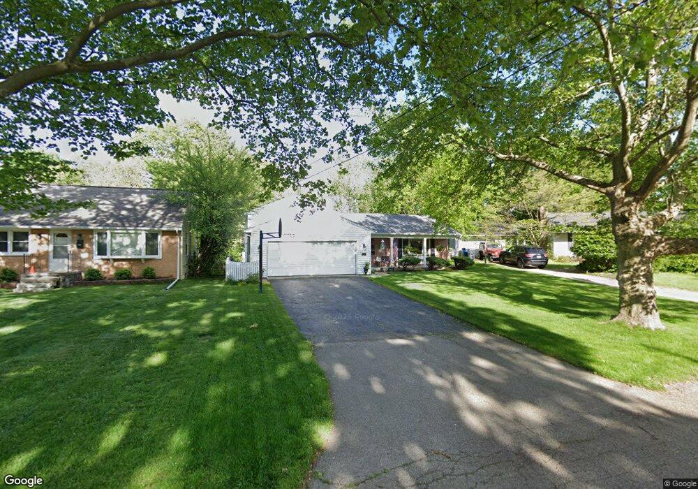
3502 Par 4 Cir Kalamazoo, MI 49008
South Westnedge NeighborhoodEstimated Value: $262,000 - $370,000
4
Beds
2
Baths
2,362
Sq Ft
$137/Sq Ft
Est. Value
About This Home
This home is located at 3502 Par 4 Cir, Kalamazoo, MI 49008 and is currently estimated at $322,761, approximately $136 per square foot. 3502 Par 4 Cir is a home located in Kalamazoo County with nearby schools including Woods Lake Elementary School, Milwood Magnet School, and Loy Norrix High School.
Ownership History
Date
Name
Owned For
Owner Type
Purchase Details
Closed on
Apr 15, 2025
Sold by
Rodgers Luann
Bought by
Luann Rodgers Trust and Rodgers
Current Estimated Value
Purchase Details
Closed on
Oct 17, 2003
Sold by
Gordon Charles M and Dorshow Gordon Ellen
Bought by
Rodgers Lu Ann
Create a Home Valuation Report for This Property
The Home Valuation Report is an in-depth analysis detailing your home's value as well as a comparison with similar homes in the area
Home Values in the Area
Average Home Value in this Area
Purchase History
| Date | Buyer | Sale Price | Title Company |
|---|---|---|---|
| Luann Rodgers Trust | -- | None Listed On Document | |
| Rodgers Lu Ann | $150,000 | Metro |
Source: Public Records
Tax History Compared to Growth
Tax History
| Year | Tax Paid | Tax Assessment Tax Assessment Total Assessment is a certain percentage of the fair market value that is determined by local assessors to be the total taxable value of land and additions on the property. | Land | Improvement |
|---|---|---|---|---|
| 2025 | $5,017 | $151,200 | $0 | $0 |
| 2024 | $2,802 | $144,400 | $0 | $0 |
| 2023 | $2,670 | $127,400 | $0 | $0 |
| 2022 | $4,550 | $111,900 | $0 | $0 |
| 2021 | $4,400 | $100,000 | $0 | $0 |
| 2020 | $4,309 | $95,600 | $0 | $0 |
| 2019 | $4,108 | $89,000 | $0 | $0 |
| 2018 | $4,012 | $86,800 | $0 | $0 |
| 2017 | $4,198 | $85,600 | $0 | $0 |
| 2016 | $4,198 | $78,700 | $0 | $0 |
| 2015 | $4,198 | $78,700 | $0 | $0 |
| 2014 | $4,198 | $84,700 | $0 | $0 |
Source: Public Records
Map
Nearby Homes
- 1028 Clover St
- 1122 Parker Ave
- 616 Lynn Ave Unit 24
- 616 Lynn Ave Unit 30
- 616 Lynn Ave Unit 31
- 616 Lynn Ave Unit 23
- 729 Buchanan Ave
- 715 Buchanan Ave
- 714 Garland Cir Unit B
- 418 Hutchinson St
- 417 Parker Ave
- 2705 Bronson Blvd
- 728 Montrose Ave
- 453 Fairview Ave
- 4211 Pembrook St
- 541 Pleasant Home Ct
- 310 Oakhurst Ave
- 405 Edgemoor Ave
- 2340 Springhill Dr
- 742 W Kilgore Rd Unit 202