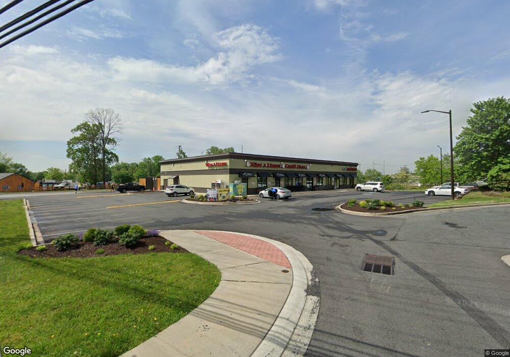
3502 Woodsdale Rd Abingdon, MD 21009
Estimated Value: $1,795,057
--
Bed
--
Bath
9,000
Sq Ft
$199/Sq Ft
Est. Value
About This Home
This home is located at 3502 Woodsdale Rd, Abingdon, MD 21009 and is currently estimated at $1,795,057, approximately $199 per square foot. 3502 Woodsdale Rd is a home located in Harford County with nearby schools including Abingdon Elementary School, Edgewood Middle School, and Edgewood High School.
Ownership History
Date
Name
Owned For
Owner Type
Purchase Details
Closed on
Jun 16, 2020
Sold by
Woodsdale Development Llc
Bought by
Scheuer Thing Llc
Current Estimated Value
Home Financials for this Owner
Home Financials are based on the most recent Mortgage that was taken out on this home.
Original Mortgage
$1,275,000
Outstanding Balance
$1,130,190
Interest Rate
3.2%
Mortgage Type
Credit Line Revolving
Estimated Equity
$664,867
Purchase Details
Closed on
Jun 13, 2002
Sold by
Emmorton Venture
Bought by
Woodsdale Development Llc
Purchase Details
Closed on
Sep 10, 1996
Sold by
Friendship Associates
Bought by
Emmorton Venture
Create a Home Valuation Report for This Property
The Home Valuation Report is an in-depth analysis detailing your home's value as well as a comparison with similar homes in the area
Home Values in the Area
Average Home Value in this Area
Purchase History
| Date | Buyer | Sale Price | Title Company |
|---|---|---|---|
| Scheuer Thing Llc | $1,285,000 | Commercial Title Co Llc | |
| Woodsdale Development Llc | $600,000 | -- | |
| Emmorton Venture | $25,000 | -- |
Source: Public Records
Mortgage History
| Date | Status | Borrower | Loan Amount |
|---|---|---|---|
| Open | Scheuer Thing Llc | $1,275,000 |
Source: Public Records
Tax History Compared to Growth
Tax History
| Year | Tax Paid | Tax Assessment Tax Assessment Total Assessment is a certain percentage of the fair market value that is determined by local assessors to be the total taxable value of land and additions on the property. | Land | Improvement |
|---|---|---|---|---|
| 2025 | $14,503 | $1,359,000 | $0 | $0 |
| 2024 | $14,503 | $1,330,700 | $0 | $0 |
| 2023 | $14,195 | $1,302,400 | $680,200 | $622,200 |
| 2022 | $12,881 | $1,181,833 | $0 | $0 |
| 2021 | $18,146 | $1,061,267 | $0 | $0 |
| 2020 | $10,856 | $940,700 | $680,200 | $260,500 |
| 2019 | $10,856 | $940,700 | $680,200 | $260,500 |
| 2018 | $10,856 | $940,700 | $680,200 | $260,500 |
| 2017 | $11,166 | $988,600 | $0 | $0 |
| 2016 | $280 | $976,400 | $0 | $0 |
| 2015 | $9,713 | $964,200 | $0 | $0 |
| 2014 | $9,713 | $952,000 | $0 | $0 |
Source: Public Records
Map
Nearby Homes
- 3612 Torey Ln
- 28 Patricks Ct
- 3506 Back Pointe Ct Unit 3D
- 3500 Thomas Pointe Ct Unit 2B
- 201 Star Pointe Ct Unit 1A
- 203 Star Pointe Ct Unit 2C
- 203 Star Pointe Ct Unit 3C
- 3359 Cheverly Ct
- 3334 Cheverly Ct
- 3305 Berlin Ct
- 3329 Betterton Cir
- 3154 Hidden Ridge Terrace
- 3105 Cardinal Way Unit H
- 3329 Midland Ct
- 404 Arrow Wood Ct
- 3700 Denton Ct
- 3202 Uppercoe Ct
- 3026 Cascade Dr
- 416 Arrow Wood Ct
- 3110 Woodspring Dr
- 3500 Woodsdale Rd
- 3520 Woodsdale Rd
- 3522 Woodsdale Rd
- 3495 Box Hill Corporate Center Dr
- 20 Haven Ave
- 18 Haven Ave
- 3533 Woodsdale Rd
- 3524 Woodsdale Rd
- 3524 Woodsdale Rd
- 22 Haven Ave
- 16 Haven Ave
- 3535 Woodsdale Rd
- 23 Haven Ave
- 3600 Woodsdale Rd
- 3601 Woodsdale Rd
- 21 Haven Ave
- 21 Wegmans Blvd
- 3603 Woodsdale Rd
- 3607 Woodsdale Rd