351 Douglas Pike Smithfield, RI 02917
Estimated Value: $1,481,447
Studio
--
Bath
1,792
Sq Ft
$827/Sq Ft
Est. Value
About This Home
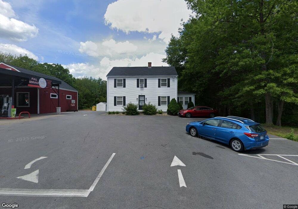
This home is located at 351 Douglas Pike, Smithfield, RI 02917 and is currently estimated at $1,481,447, approximately $826 per square foot. 351 Douglas Pike is a home located in Providence County with nearby schools including Raymond Laperche School, Vincent J. Gallagher Middle School, and Smithfield High School.
Ownership History
Date
Name
Owned For
Owner Type
Purchase Details
Closed on
Aug 7, 2025
Sold by
Shadesh Hldg Llc
Bought by
Miles Gas Inc
Current Estimated Value
Purchase Details
Closed on
Jun 25, 2022
Sold by
351 Partners Llc
Bought by
Shadesh Holdings Llc
Home Financials for this Owner
Home Financials are based on the most recent Mortgage that was taken out on this home.
Original Mortgage
$862,500
Interest Rate
5.25%
Mortgage Type
Purchase Money Mortgage
Purchase Details
Closed on
Aug 12, 2015
Sold by
Sleboda Frank
Bought by
Sleboda Frank and Sleboda Marilyn L
Create a Home Valuation Report for This Property
The Home Valuation Report is an in-depth analysis detailing your home's value as well as a comparison with similar homes in the area
Home Values in the Area
Average Home Value in this Area
Purchase History
| Date | Buyer | Sale Price | Title Company |
|---|---|---|---|
| Miles Gas Inc | $1,470,000 | -- | |
| Miles Gas Inc | $1,470,000 | -- | |
| Miles Gas Inc | $1,470,000 | -- | |
| Shadesh Holdings Llc | $700,000 | None Available | |
| Shadesh Holdings Llc | $700,000 | None Available | |
| Shadesh Holdings Llc | $700,000 | None Available | |
| Shadesh Holdings Llc | $700,000 | None Available | |
| Sleboda Frank | -- | -- | |
| 351 Partners Llc | -- | -- | |
| 351 Partners Llc | -- | -- |
Source: Public Records
Mortgage History
| Date | Status | Borrower | Loan Amount |
|---|---|---|---|
| Previous Owner | Shadesh Holdings Llc | $862,500 | |
| Previous Owner | 351 Partners Llc | $100,000 |
Source: Public Records
Tax History
| Year | Tax Paid | Tax Assessment Tax Assessment Total Assessment is a certain percentage of the fair market value that is determined by local assessors to be the total taxable value of land and additions on the property. | Land | Improvement |
|---|---|---|---|---|
| 2025 | $5,842 | $471,500 | $171,400 | $300,100 |
| 2024 | $7,355 | $411,100 | $147,600 | $263,500 |
| 2023 | $7,355 | $411,100 | $147,600 | $263,500 |
| 2022 | $0 | $393,300 | $147,600 | $245,700 |
| 2021 | $0 | $361,100 | $164,000 | $197,100 |
| 2020 | $0 | $361,100 | $164,000 | $197,100 |
| 2019 | $0 | $358,900 | $164,000 | $194,900 |
| 2018 | $0 | $339,300 | $164,000 | $175,300 |
| 2017 | $0 | $339,300 | $164,000 | $175,300 |
| 2016 | $5,988 | $339,300 | $164,000 | $175,300 |
| 2015 | $5,988 | $340,800 | $164,000 | $176,800 |
| 2012 | $5,588 | $348,800 | $182,300 | $166,500 |
Source: Public Records
Map
Nearby Homes
- 2 Justin Cir Unit C
- 1 Stoneridge Rd
- 1 Stoneridge Rd Unit 1
- 9 Stone Ridge Rd
- 21 Cambridge Cir
- 35 Fenwood Ave
- 5 Hill St Unit 3
- 1 Victoria Dr
- 14 Sables Way
- 61 Stillwater Rd
- 15 Higgins St Unit 311
- 15 Higgins St Unit 201
- 15 Higgins St Unit 123
- 85 Stillwater Rd
- 85 Orchard Meadows Dr
- 18 Homestead Ave
- 1 Princess Pine Rd
- 407 Pinewood Dr
- 5 Lacey Ct
- 402 Pinewood Dr
Your Personal Tour Guide
Ask me questions while you tour the home.