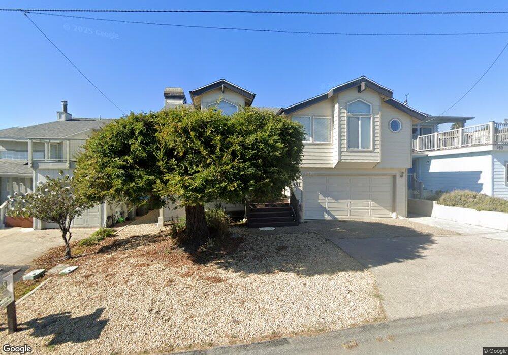
351 Drake St Cambria, CA 93428
Cambria NeighborhoodEstimated Value: $1,043,130 - $1,429,000
3
Beds
3
Baths
1,700
Sq Ft
$723/Sq Ft
Est. Value
About This Home
This home is located at 351 Drake St, Cambria, CA 93428 and is currently estimated at $1,229,533, approximately $723 per square foot. 351 Drake St is a home located in San Luis Obispo County with nearby schools including Cambria Grammar, Santa Lucia Middle School, and Coast Union High School.
Ownership History
Date
Name
Owned For
Owner Type
Purchase Details
Closed on
Dec 17, 2019
Sold by
Hanson Ronald L and Hanson Julie A
Bought by
Hanson Ronald L and Hanson Julie A
Current Estimated Value
Purchase Details
Closed on
Aug 12, 2002
Sold by
Hanson Julie Ann and Hansen Julia Ann
Bought by
Hanson Ronald L and Hanson Julie A
Purchase Details
Closed on
May 25, 2000
Sold by
Ponce Sherry Scott
Bought by
Ponce Ralph Richard
Purchase Details
Closed on
May 11, 2000
Sold by
Ponce Ralph Richard
Bought by
Hyslop Julie J
Create a Home Valuation Report for This Property
The Home Valuation Report is an in-depth analysis detailing your home's value as well as a comparison with similar homes in the area
Home Values in the Area
Average Home Value in this Area
Purchase History
| Date | Buyer | Sale Price | Title Company |
|---|---|---|---|
| Hanson Ronald L | -- | None Available | |
| Hanson Ronald L | -- | -- | |
| Ponce Ralph Richard | -- | Fidelity National Title Co | |
| Hyslop Julie J | $450,000 | Fidelity National Title Co |
Source: Public Records
Tax History
| Year | Tax Paid | Tax Assessment Tax Assessment Total Assessment is a certain percentage of the fair market value that is determined by local assessors to be the total taxable value of land and additions on the property. | Land | Improvement |
|---|---|---|---|---|
| 2025 | $7,468 | $691,616 | $368,863 | $322,753 |
| 2024 | $7,340 | $678,056 | $361,631 | $316,425 |
| 2023 | $7,340 | $664,762 | $354,541 | $310,221 |
| 2022 | $7,197 | $651,729 | $347,590 | $304,139 |
| 2021 | $7,092 | $638,951 | $340,775 | $298,176 |
| 2020 | $7,010 | $632,400 | $337,281 | $295,119 |
| 2019 | $6,876 | $620,001 | $330,668 | $289,333 |
| 2018 | $6,740 | $607,845 | $324,185 | $283,660 |
| 2017 | $6,606 | $595,928 | $317,829 | $278,099 |
| 2016 | $6,477 | $584,245 | $311,598 | $272,647 |
| 2015 | $6,385 | $575,470 | $306,918 | $268,552 |
| 2014 | $6,163 | $564,198 | $300,906 | $263,292 |
Source: Public Records
Map
Nearby Homes
- 341 Emmons Rd
- 0 Kenneth Dr Unit SC24012358
- 0 Kenneth Dr Unit SC25087439
- 2107 Sherwood Dr
- 347 Ivar St
- 2090 Sherwood Dr
- 305 Ivar St
- 395 Ivar St
- 2431 Sherwood Dr
- 2585 Sherwood Dr
- 0 Oxford Ave
- 1980 Sherwood Dr
- 1970 Emmons Rd
- 679 Orlando Dr
- 390 Lampton St
- 0 Madison Unit SC25216306
- 0 Madison Unit SC26030349
- 0 2080 Wales Rd
- 2298 Tipton St
- 34 Kenneth Dr
Your Personal Tour Guide
Ask me questions while you tour the home.