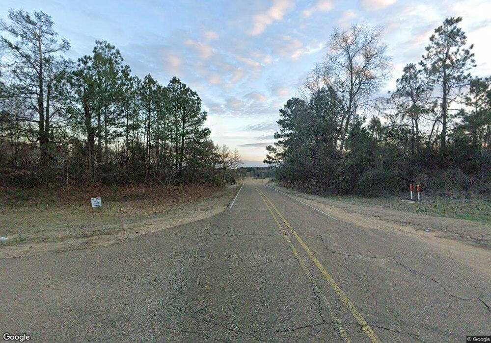
351 Highway 397 Rd Preston, MS 39354
Estimated Value: $293,000
3
Beds
--
Bath
2,480
Sq Ft
$118/Sq Ft
Est. Value
About This Home
This home is located at 351 Highway 397 Rd, Preston, MS 39354 and is currently estimated at $293,000, approximately $118 per square foot. 351 Highway 397 Rd is a home with nearby schools including Nanih Waiya Attendance Center.
Ownership History
Date
Name
Owned For
Owner Type
Purchase Details
Closed on
Aug 25, 2017
Sold by
Luke Brittney L and Luke Shawn C
Bought by
White Bonnie and White Richard Corey
Current Estimated Value
Home Financials for this Owner
Home Financials are based on the most recent Mortgage that was taken out on this home.
Original Mortgage
$171,612
Outstanding Balance
$143,042
Interest Rate
3.92%
Mortgage Type
Future Advance Clause Open End Mortgage
Estimated Equity
$149,958
Create a Home Valuation Report for This Property
The Home Valuation Report is an in-depth analysis detailing your home's value as well as a comparison with similar homes in the area
Home Values in the Area
Average Home Value in this Area
Purchase History
| Date | Buyer | Sale Price | Title Company |
|---|---|---|---|
| White Bonnie | -- | -- |
Source: Public Records
Mortgage History
| Date | Status | Borrower | Loan Amount |
|---|---|---|---|
| Open | White Bonnie | $171,612 |
Source: Public Records
Tax History Compared to Growth
Tax History
| Year | Tax Paid | Tax Assessment Tax Assessment Total Assessment is a certain percentage of the fair market value that is determined by local assessors to be the total taxable value of land and additions on the property. | Land | Improvement |
|---|---|---|---|---|
| 2024 | $1,351 | $15,545 | $1,097 | $14,448 |
| 2023 | $1,309 | $15,123 | $1,112 | $14,011 |
| 2022 | $1,315 | $15,155 | $1,144 | $14,011 |
| 2021 | $1,316 | $15,155 | $1,144 | $14,011 |
| 2020 | $1,130 | $13,397 | $1,162 | $12,235 |
| 2019 | $1,108 | $13,415 | $1,180 | $12,235 |
| 2018 | $1,050 | $13,433 | $1,198 | $12,235 |
| 2017 | $1,074 | $13,439 | $1,204 | $12,235 |
| 2016 | $1,034 | $13,177 | $1,061 | $12,116 |
| 2015 | $1,011 | $13,136 | $1,020 | $12,116 |
| 2014 | -- | $13,098 | $982 | $12,116 |
| 2012 | -- | $12,543 | $948 | $11,595 |
Source: Public Records
Map
Nearby Homes
- 759 Shuqualak Rd
- 9182 Mississippi 397
- 11 Matthew Jackson Rd
- 0 Highway 21 Unit 20673303
- 3565 Ms-397
- 0 Hwy 490 E Unit 25-1376
- Hwy 490
- 0 Howard 2 Rd
- 9645 Highway 490
- Highway 490
- 625 Bateman Rd
- 16460 Mississippi 21
- 844 Bateman Rd
- 2975 Mississippi 393
- 3028 Ms-393
- 14199 Mississippi 490
- Hwy 490
- 10540 Road 2826
- 0 Mississippi 495
- 0 Road 781
- 352 Highway 397
- 924 Highway 397
- 775 County Line Grocery Rd
- 451 County Line Grocery Rd
- 40 Highway 397
- 325 Sullivan Rd
- 918 County Line Grocery Rd
- 14271 Highway 397
- 610 Sullivan Rd
- 1015 County Line Grocery Rd
- 885 Sullivan Rd
- 1230 County Line Grocery Rd
- 694 Sullivan Rd
- 759 Sullivan Rd
- 750 Sullivan Rd
- 655 Sullivan Rd
- 2009 E Winston Rd
- 1070 Shuqualak Rd
- 457 County Line Rd
- 574 Burrage Rd
