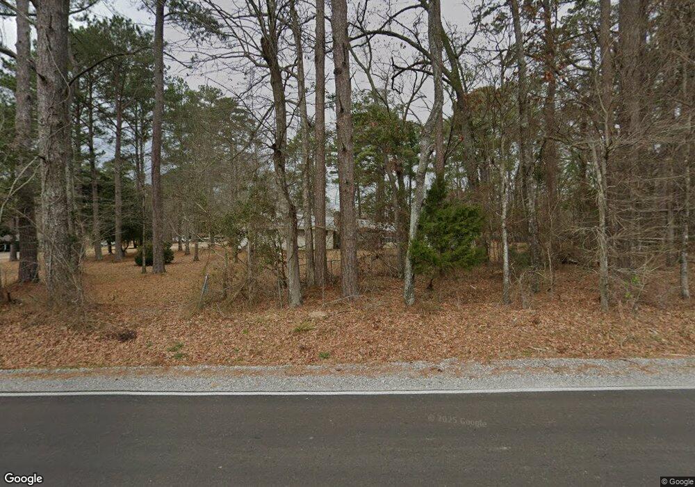
351 Highway 469 N Florence, MS 39073
Estimated Value: $490,000 - $530,000
4
Beds
3
Baths
3,688
Sq Ft
$139/Sq Ft
Est. Value
About This Home
This home is located at 351 Highway 469 N, Florence, MS 39073 and is currently estimated at $512,735, approximately $139 per square foot. 351 Highway 469 N is a home with nearby schools including Steen's Creek Elementary School, Florence Elementary School, and Florence Middle School.
Ownership History
Date
Name
Owned For
Owner Type
Purchase Details
Closed on
Dec 27, 2019
Sold by
Patterson Brandy N
Bought by
Patterson Gary W
Current Estimated Value
Purchase Details
Closed on
Mar 20, 2014
Sold by
Willis Keith Willis Keith and Magnum Angela Jane
Bought by
Patterson Gary Warren and Patterson Brandy Nicole
Home Financials for this Owner
Home Financials are based on the most recent Mortgage that was taken out on this home.
Original Mortgage
$52,269
Interest Rate
4.36%
Mortgage Type
Purchase Money Mortgage
Create a Home Valuation Report for This Property
The Home Valuation Report is an in-depth analysis detailing your home's value as well as a comparison with similar homes in the area
Home Values in the Area
Average Home Value in this Area
Purchase History
| Date | Buyer | Sale Price | Title Company |
|---|---|---|---|
| Patterson Gary W | -- | None Available | |
| Patterson Gary Warren | -- | -- |
Source: Public Records
Mortgage History
| Date | Status | Borrower | Loan Amount |
|---|---|---|---|
| Previous Owner | Patterson Gary Warren | $52,269 |
Source: Public Records
Tax History Compared to Growth
Tax History
| Year | Tax Paid | Tax Assessment Tax Assessment Total Assessment is a certain percentage of the fair market value that is determined by local assessors to be the total taxable value of land and additions on the property. | Land | Improvement |
|---|---|---|---|---|
| 2024 | $4,174 | $34,761 | $0 | $0 |
| 2023 | $3,618 | $30,435 | $0 | $0 |
| 2022 | $3,487 | $30,435 | $0 | $0 |
| 2021 | $3,490 | $30,463 | $0 | $0 |
| 2020 | $3,490 | $30,463 | $0 | $0 |
| 2019 | $3,155 | $26,743 | $0 | $0 |
| 2018 | $2,418 | $26,743 | $0 | $0 |
| 2017 | $2,954 | $26,743 | $0 | $0 |
| 2016 | $2,697 | $25,680 | $0 | $0 |
| 2015 | $341 | $2,919 | $0 | $0 |
| 2014 | $223 | $2,919 | $0 | $0 |
| 2013 | $223 | $2,919 | $0 | $0 |
Source: Public Records
Map
Nearby Homes
- 2 Mississippi 469
- 137 Copper Ridge Ln
- 2230 Wildwood Dr
- 424 Copper Ridge Dr
- 0 Pickering Unit 11460094
- 215 Wethersfield Dr
- 213 Wethersfield Dr
- 211 Wethersfield Dr
- 307 Tremont Dr
- 306 Tremont Dr
- 204 Wethersfield Dr
- 208 Wethersfield Dr
- 3193 Highway 49 S
- 226 Alliston Farm Place
- 0 Highway 49 Unit 4059136
- 129 Beechtree Ln
- 000 W Norwood Old Enoch Rd
- 137 W Main St
- 206 Lewis St
- 1118 Gunter Rd
- 333 Highway 469 N
- 227 Briarhill Cove
- 221 Briarhill Cove
- 225 Briarhill Cove
- 373 Highway 469 N
- 602 Lexington Dr
- 600 Lexington Dr
- 604 Lexington Dr
- 606 Lexington Dr
- 608 Lexington Dr
- 231 Briarhill Cove
- 610 Lexington Dr
- 603 Lexington Dr
- 612 Lexington Dr
- 605 Lexington Dr
- 700 Lexington Dr
- 607 Lexington Dr
- 614 Lexington
- 326 Highway 469 N
- 614 Lexington Dr
