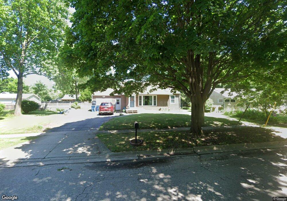
3510 Michael Ave Kalamazoo, MI 49004
Burke Acres NeighborhoodEstimated Value: $171,000 - $201,919
2
Beds
1
Bath
1,626
Sq Ft
$114/Sq Ft
Est. Value
About This Home
This home is located at 3510 Michael Ave, Kalamazoo, MI 49004 and is currently estimated at $184,980, approximately $113 per square foot. 3510 Michael Ave is a home located in Kalamazoo County with nearby schools including Spring Valley Center for Exploration, Hillside Middle School, and Kalamazoo Central High School.
Ownership History
Date
Name
Owned For
Owner Type
Purchase Details
Closed on
Sep 4, 2009
Sold by
Berg Catherine Ann
Bought by
Bronson Nickey
Current Estimated Value
Home Financials for this Owner
Home Financials are based on the most recent Mortgage that was taken out on this home.
Original Mortgage
$76,500
Outstanding Balance
$50,360
Interest Rate
5.32%
Mortgage Type
New Conventional
Estimated Equity
$134,620
Create a Home Valuation Report for This Property
The Home Valuation Report is an in-depth analysis detailing your home's value as well as a comparison with similar homes in the area
Home Values in the Area
Average Home Value in this Area
Purchase History
| Date | Buyer | Sale Price | Title Company |
|---|---|---|---|
| Bronson Nickey | $85,000 | Chicago Title |
Source: Public Records
Mortgage History
| Date | Status | Borrower | Loan Amount |
|---|---|---|---|
| Open | Bronson Nickey | $76,500 |
Source: Public Records
Tax History
| Year | Tax Paid | Tax Assessment Tax Assessment Total Assessment is a certain percentage of the fair market value that is determined by local assessors to be the total taxable value of land and additions on the property. | Land | Improvement |
|---|---|---|---|---|
| 2025 | $1,416 | $93,200 | $0 | $0 |
| 2024 | $1,375 | $87,200 | $0 | $0 |
| 2023 | $1,310 | $77,700 | $0 | $0 |
| 2022 | $2,232 | $67,200 | $0 | $0 |
| 2021 | $2,158 | $61,500 | $0 | $0 |
| 2020 | $2,114 | $57,000 | $0 | $0 |
| 2019 | $2,015 | $49,900 | $0 | $0 |
| 2018 | $1,968 | $45,500 | $0 | $0 |
| 2017 | $2,097 | $43,900 | $0 | $0 |
| 2016 | $2,097 | $40,000 | $0 | $0 |
| 2015 | $2,097 | $38,200 | $0 | $0 |
| 2014 | $2,097 | $39,500 | $0 | $0 |
Source: Public Records
Map
Nearby Homes
- 1223 Parchmount Ave
- 2428 Glendale Blvd
- 3115 Michael Ave
- 2415 Parchmount Ave
- 818 Parchmount Ave
- 2421 Parchmount Ave
- 125 Haymac Dr
- 3104 Courtlandt Ave
- 603 Park Ave
- 2842 Virginia Ave
- 405 Park Ave
- 2910 Parchmount Ave
- 4123 Mount Olivet Rd
- 332 Espanola Ave
- 309 E Oak Grove Ave
- 267 Parchmount Ave
- 5161 Sharon St
- 2511 Monterey Dr
- 114 E Thomas St
- 432 N Riverview Dr
- 3504 Michael Ave
- 2114 Glendale Blvd
- 3422 Michael Ave
- 3509 Random Rd
- 3503 Random Rd
- 2108 Glendale Blvd
- 2124 Glendale Blvd
- 3421 Random Rd
- 2044 Glendale Blvd
- 3416 Michael Ave
- 3509 Michael Ave
- 3503 Michael Ave
- 3421 Michael Ave
- 3415 Random Rd
- 2036 Glendale Blvd
- 3410 Michael Ave
- 2111 Glendale Blvd
- 2101 Glendale Blvd
- 3415 Michael Ave
- 3409 Random Rd
Your Personal Tour Guide
Ask me questions while you tour the home.