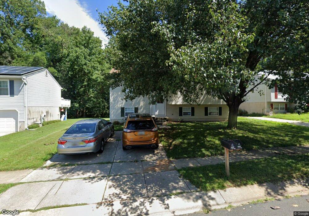
3510 River Bridge Way Laurel, MD 20724
Maryland City NeighborhoodEstimated Value: $380,157 - $556,000
--
Bed
2
Baths
1,084
Sq Ft
$439/Sq Ft
Est. Value
About This Home
This home is located at 3510 River Bridge Way, Laurel, MD 20724 and is currently estimated at $476,039, approximately $439 per square foot. 3510 River Bridge Way is a home located in Anne Arundel County with nearby schools including Brock Bridge Elementary School, Meade Middle School, and Meade High School.
Ownership History
Date
Name
Owned For
Owner Type
Purchase Details
Closed on
Jan 12, 1999
Sold by
Franklin Randy A
Bought by
Franklin Randy A and Franklin Diana J
Current Estimated Value
Purchase Details
Closed on
Jul 14, 1992
Sold by
Brock Bridge Ltd Ptnshp
Bought by
Franklin Randy A
Home Financials for this Owner
Home Financials are based on the most recent Mortgage that was taken out on this home.
Original Mortgage
$145,150
Interest Rate
8.13%
Create a Home Valuation Report for This Property
The Home Valuation Report is an in-depth analysis detailing your home's value as well as a comparison with similar homes in the area
Home Values in the Area
Average Home Value in this Area
Purchase History
| Date | Buyer | Sale Price | Title Company |
|---|---|---|---|
| Franklin Randy A | -- | -- | |
| Franklin Randy A | $152,800 | -- |
Source: Public Records
Mortgage History
| Date | Status | Borrower | Loan Amount |
|---|---|---|---|
| Previous Owner | Franklin Randy A | $145,150 | |
| Closed | Franklin Randy A | -- |
Source: Public Records
Tax History Compared to Growth
Tax History
| Year | Tax Paid | Tax Assessment Tax Assessment Total Assessment is a certain percentage of the fair market value that is determined by local assessors to be the total taxable value of land and additions on the property. | Land | Improvement |
|---|---|---|---|---|
| 2025 | $2,926 | $358,700 | $202,100 | $156,600 |
| 2024 | $2,926 | $338,000 | $0 | $0 |
| 2023 | $2,828 | $317,300 | $0 | $0 |
| 2022 | $2,628 | $296,600 | $154,400 | $142,200 |
| 2021 | $5,171 | $291,333 | $0 | $0 |
| 2020 | $2,503 | $286,067 | $0 | $0 |
| 2019 | $2,463 | $280,800 | $149,400 | $131,400 |
| 2018 | $2,690 | $265,333 | $0 | $0 |
| 2017 | $2,305 | $249,867 | $0 | $0 |
| 2016 | -- | $234,400 | $0 | $0 |
| 2015 | -- | $227,700 | $0 | $0 |
| 2014 | -- | $221,000 | $0 | $0 |
Source: Public Records
Map
Nearby Homes
- 62 S Bruce St
- 5 S Gail St
- 11 S Carol St
- 5 S Paula St
- 3372 Sudlersville S
- 313 Old Line Ave
- 312 Park Hall S
- 313 Park Hall S
- 1768 Mill Branch Dr
- Serenade Plan at Patuxent Greens - Townhomes
- 3341 Valley Lee S
- 1760 Mill Branch Dr
- 3342 Valley Lee S
- 1224 Bear Branch Rd
- 1222 Bear Branch Rd
- 3298 Sudlersville S
- 183 Lyons Creek Dr
- 266 Brock Bridge Rd
- 1221 Bear Branch Rd
- 1219 Bear Branch Rd
- 3512 River Bridge Way
- 3508 River Bridge Way
- 3514 River Bridge Way
- 3506 River Bridge Way
- 3504 River Bridge Way
- 3513 River Bridge Way
- 401 Forest Bridge Ct
- 3515 River Bridge Way
- 3507 River Bridge Way
- 3502 River Bridge Way
- 403 Forest Bridge Ct
- 3505 River Bridge Way
- 3509 River Bridge Way
- 3511 River Bridge Way
- 400 Forest Bridge Ct
- 405 Forest Bridge Ct
- 3500 River Bridge Way
- 3503 River Bridge Way
- 402 Forest Bridge Ct
- 3501 River Bridge Way
