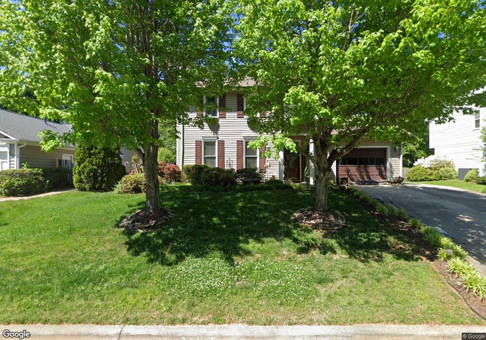
3512 Cardinal Ridge Dr Greensboro, NC 27410
Estimated Value: $319,996 - $335,000
3
Beds
3
Baths
1,546
Sq Ft
$211/Sq Ft
Est. Value
About This Home
This home is located at 3512 Cardinal Ridge Dr, Greensboro, NC 27410 and is currently estimated at $325,999, approximately $210 per square foot. 3512 Cardinal Ridge Dr is a home located in Guilford County with nearby schools including E.P. Pearce Elementary School, Kernodle Middle School, and Northwest Guilford High School.
Ownership History
Date
Name
Owned For
Owner Type
Purchase Details
Closed on
Jul 1, 2008
Bought by
Unknown Owner
Current Estimated Value
Purchase Details
Closed on
Jul 16, 2003
Sold by
Caviness Wanda Jones and Caviness Cavines M
Bought by
Caviness Wanda Jones
Home Financials for this Owner
Home Financials are based on the most recent Mortgage that was taken out on this home.
Original Mortgage
$117,600
Interest Rate
5.16%
Mortgage Type
Purchase Money Mortgage
Create a Home Valuation Report for This Property
The Home Valuation Report is an in-depth analysis detailing your home's value as well as a comparison with similar homes in the area
Home Values in the Area
Average Home Value in this Area
Purchase History
| Date | Buyer | Sale Price | Title Company |
|---|---|---|---|
| Unknown Owner | -- | -- | |
| Caviness Wanda Jones | -- | -- |
Source: Public Records
Mortgage History
| Date | Status | Borrower | Loan Amount |
|---|---|---|---|
| Previous Owner | Caviness Wanda Jones | $117,600 | |
| Closed | Caviness Wanda Jones | $29,000 |
Source: Public Records
Tax History Compared to Growth
Tax History
| Year | Tax Paid | Tax Assessment Tax Assessment Total Assessment is a certain percentage of the fair market value that is determined by local assessors to be the total taxable value of land and additions on the property. | Land | Improvement |
|---|---|---|---|---|
| 2025 | $3,060 | $218,100 | $75,000 | $143,100 |
| 2024 | $3,060 | $218,100 | $75,000 | $143,100 |
| 2023 | $3,060 | $218,100 | $75,000 | $143,100 |
| 2022 | $2,973 | $218,100 | $75,000 | $143,100 |
| 2021 | $2,285 | $164,000 | $42,000 | $122,000 |
| 2020 | $2,285 | $164,000 | $42,000 | $122,000 |
| 2019 | $2,285 | $164,000 | $0 | $0 |
| 2018 | $2,219 | $164,000 | $0 | $0 |
| 2017 | $2,219 | $164,000 | $0 | $0 |
| 2016 | $2,119 | $153,100 | $0 | $0 |
| 2015 | $2,132 | $153,100 | $0 | $0 |
| 2014 | $2,147 | $153,100 | $0 | $0 |
Source: Public Records
Map
Nearby Homes
- 6880 Ironwood Cir
- 6402 Lakebend Way
- 6313 Bonnybrook Ct
- 6308 Bonnybrook Ct
- 4305 Kerwick Dr
- 6400 Muirfield Dr
- 6310 Birch Pond Rd
- 4 Limerock Ct
- 6401 Estes Ct
- 6204 Muirfield Dr
- 7209 Prentiss Rd
- 5194 Ashgrove Dr
- 6424 Highland Oak Dr
- 4428 Cove Cay Ln
- 5207 Highland Oak Ct
- 4903 Tamaron Dr
- 3231 Cheswick Dr
- 4714 Pine Glen Ct
- 4805 Tamaron Dr
- 3659 Cherry Hill Dr
- 3510 Cardinal Ridge Dr
- 3514 Cardinal Ridge Dr
- 3508 Cardinal Ridge Dr
- 3516 Cardinal Ridge Dr
- 6803 Poplar Grove Trail
- 6805 Poplar Grove Trail
- 3515 Cardinal Ridge Dr
- 3506 Cardinal Ridge Dr
- 3513 Cardinal Ridge Dr
- 3518 Cardinal Ridge Dr
- 3517 Cardinal Ridge Dr
- 3999 Wild Cherry Ct
- 6807 Poplar Grove Trail
- 3511 Cardinal Ridge Dr
- 3519 Cardinal Ridge Dr
- 3995 Wild Cherry Ct
- 3504 Cardinal Ridge Dr
- 3520 Cardinal Ridge Dr
- 3509 Cardinal Ridge Dr
- 3521 Cardinal Ridge Dr