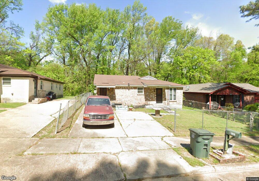
3513 Hicky St Memphis, TN 38109
Westwood NeighborhoodEstimated Value: $111,000 - $124,143
3
Beds
2
Baths
1,560
Sq Ft
$75/Sq Ft
Est. Value
About This Home
This home is located at 3513 Hicky St, Memphis, TN 38109 and is currently estimated at $116,286, approximately $74 per square foot. 3513 Hicky St is a home located in Shelby County with nearby schools including Ford Road Elementary School, Chickasaw Middle School, and Mitchell High School.
Ownership History
Date
Name
Owned For
Owner Type
Purchase Details
Closed on
Sep 11, 2000
Sold by
Myers Johnnie M
Bought by
Mosby Sandra
Current Estimated Value
Home Financials for this Owner
Home Financials are based on the most recent Mortgage that was taken out on this home.
Original Mortgage
$61,558
Outstanding Balance
$21,934
Interest Rate
8.17%
Mortgage Type
FHA
Estimated Equity
$94,352
Create a Home Valuation Report for This Property
The Home Valuation Report is an in-depth analysis detailing your home's value as well as a comparison with similar homes in the area
Home Values in the Area
Average Home Value in this Area
Purchase History
| Date | Buyer | Sale Price | Title Company |
|---|---|---|---|
| Mosby Sandra | $62,000 | -- | |
| Mosby Sandra | $62,000 | -- |
Source: Public Records
Mortgage History
| Date | Status | Borrower | Loan Amount |
|---|---|---|---|
| Open | Mosby Sandra | $61,558 | |
| Closed | Mosby Sandra | $61,558 | |
| Closed | Mosby Sandra | $4,349 |
Source: Public Records
Tax History
| Year | Tax Paid | Tax Assessment Tax Assessment Total Assessment is a certain percentage of the fair market value that is determined by local assessors to be the total taxable value of land and additions on the property. | Land | Improvement |
|---|---|---|---|---|
| 2025 | $548 | $29,150 | $2,750 | $26,400 |
| 2024 | $548 | $16,175 | $1,750 | $14,425 |
| 2023 | $985 | $16,175 | $1,750 | $14,425 |
| 2022 | $985 | $16,175 | $1,750 | $14,425 |
| 2021 | $997 | $16,175 | $1,750 | $14,425 |
| 2020 | $967 | $13,350 | $1,750 | $11,600 |
| 2019 | $967 | $13,350 | $1,750 | $11,600 |
| 2018 | $967 | $13,350 | $1,750 | $11,600 |
| 2017 | $549 | $13,350 | $1,750 | $11,600 |
| 2016 | $633 | $14,475 | $0 | $0 |
| 2014 | $633 | $14,475 | $0 | $0 |
Source: Public Records
Map
Nearby Homes
- 0 Silas Rd Unit 10212738
- 3602 Silas Rd
- 3420 Forrester Rd
- 3414 Forrester Rd
- 1219 Fiber Rd
- 931 Calvin Rd
- 1 Fields Rd
- 1198 Canary Ln
- 858 Eyers Rd
- 0 S Mitchell Rd Unit 10213789
- 3677 Bison St
- 690 Hazelwood Rd
- 761 Harahan Rd
- 1270 Chickamauga Ave
- 599 Blackhawk Rd
- 761 Nonconnah Rd
- 726 Harahan Rd
- 695 Harahan Rd
- 634 King Ave
- 4075 Maumee St
Your Personal Tour Guide
Ask me questions while you tour the home.