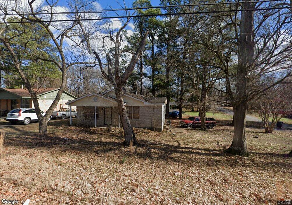
3516 Pryor St Memphis, TN 38127
Frayser NeighborhoodEstimated Value: $76,000 - $124,000
3
Beds
2
Baths
1,026
Sq Ft
$94/Sq Ft
Est. Value
About This Home
This home is located at 3516 Pryor St, Memphis, TN 38127 and is currently estimated at $96,108, approximately $93 per square foot. 3516 Pryor St is a home located in Shelby County with nearby schools including Westside Elementary School, Trezevant High School, and Compass Community School Frayser Campus.
Ownership History
Date
Name
Owned For
Owner Type
Purchase Details
Closed on
Oct 17, 2012
Sold by
The Wring Family Revocable Trust
Bought by
Wring Aubrey B and Wring Virginia A
Current Estimated Value
Purchase Details
Closed on
Jun 1, 1998
Sold by
Va
Bought by
A & B Enterprise Lp
Home Financials for this Owner
Home Financials are based on the most recent Mortgage that was taken out on this home.
Original Mortgage
$25,500
Interest Rate
7%
Mortgage Type
Seller Take Back
Purchase Details
Closed on
Sep 23, 1997
Sold by
Ferguson Garvin M and Ferguson Cleo M
Bought by
Va
Create a Home Valuation Report for This Property
The Home Valuation Report is an in-depth analysis detailing your home's value as well as a comparison with similar homes in the area
Home Values in the Area
Average Home Value in this Area
Purchase History
| Date | Buyer | Sale Price | Title Company |
|---|---|---|---|
| Wring Aubrey B | -- | None Available | |
| A & B Enterprise Lp | $32,000 | -- | |
| Va | $38,042 | -- |
Source: Public Records
Mortgage History
| Date | Status | Borrower | Loan Amount |
|---|---|---|---|
| Previous Owner | A & B Enterprise Lp | $25,500 |
Source: Public Records
Tax History Compared to Growth
Tax History
| Year | Tax Paid | Tax Assessment Tax Assessment Total Assessment is a certain percentage of the fair market value that is determined by local assessors to be the total taxable value of land and additions on the property. | Land | Improvement |
|---|---|---|---|---|
| 2025 | $509 | $20,350 | $2,625 | $17,725 |
| 2024 | $509 | $15,025 | $2,150 | $12,875 |
| 2023 | $915 | $15,025 | $2,150 | $12,875 |
| 2022 | $915 | $15,025 | $2,150 | $12,875 |
| 2021 | $926 | $15,025 | $2,150 | $12,875 |
| 2020 | $975 | $13,450 | $2,150 | $11,300 |
| 2019 | $975 | $13,450 | $2,150 | $11,300 |
| 2018 | $975 | $13,450 | $2,150 | $11,300 |
| 2017 | $553 | $13,450 | $2,150 | $11,300 |
| 2016 | $437 | $10,000 | $0 | $0 |
| 2014 | $437 | $10,000 | $0 | $0 |
Source: Public Records
Map
Nearby Homes
- 1304 Pera Dr
- 3593 Holland Dr
- 3590 Thomas St
- 3594 Holland Dr
- 1337 Haywood Ave
- 3430 Shiloh Dr
- 1328 Quinby Dr
- 1391 Haywood Ave
- 1104 Saunders Ave
- 1116 Carrolton Ave
- 3551 Millington Rd
- 1142 Frayser Blvd
- 3560 Steele St
- 3296 Madewell St
- 1030 Floyd Ave
- 1100 Creston Ave
- 3531 Randolph St
- 3553 Randolph St
- 1045 Carrolton Ave
- 1013 Par Ave