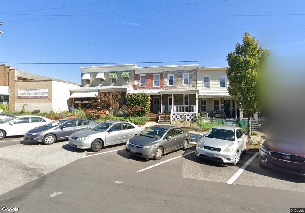
3519 Chestnut Ave Baltimore, MD 21211
Wyman Park NeighborhoodEstimated Value: $285,959 - $373,000
3
Beds
1
Bath
--
Sq Ft
2,178
Sq Ft Lot
About This Home
This home is located at 3519 Chestnut Ave, Baltimore, MD 21211 and is currently estimated at $329,480. 3519 Chestnut Ave is a home located in Baltimore City with nearby schools including Hampden Elementary/Middle, Booker T. Washington Middle School, and Frederick Douglass High School.
Ownership History
Date
Name
Owned For
Owner Type
Purchase Details
Closed on
Mar 29, 2006
Sold by
Weisgal Lawrence D
Bought by
Weisgal Margit B
Current Estimated Value
Home Financials for this Owner
Home Financials are based on the most recent Mortgage that was taken out on this home.
Original Mortgage
$155,000
Outstanding Balance
$88,558
Interest Rate
6.26%
Mortgage Type
Purchase Money Mortgage
Estimated Equity
$240,922
Purchase Details
Closed on
Jan 31, 1997
Sold by
Levin Marianne R
Bought by
Weisgal Lawrence D and Weisgal Jeanne
Create a Home Valuation Report for This Property
The Home Valuation Report is an in-depth analysis detailing your home's value as well as a comparison with similar homes in the area
Home Values in the Area
Average Home Value in this Area
Purchase History
| Date | Buyer | Sale Price | Title Company |
|---|---|---|---|
| Weisgal Margit B | $155,000 | -- | |
| Weisgal Lawrence D | $40,000 | -- |
Source: Public Records
Mortgage History
| Date | Status | Borrower | Loan Amount |
|---|---|---|---|
| Open | Weisgal Margit B | $155,000 |
Source: Public Records
Tax History
| Year | Tax Paid | Tax Assessment Tax Assessment Total Assessment is a certain percentage of the fair market value that is determined by local assessors to be the total taxable value of land and additions on the property. | Land | Improvement |
|---|---|---|---|---|
| 2025 | $3,515 | $170,600 | $52,000 | $118,600 |
| 2024 | $3,515 | $165,567 | -- | -- |
| 2023 | $3,360 | $160,533 | $0 | $0 |
| 2022 | $3,267 | $155,500 | $52,000 | $103,500 |
| 2021 | $3,612 | $153,067 | $0 | $0 |
| 2020 | $3,000 | $150,633 | $0 | $0 |
| 2019 | $2,883 | $148,200 | $52,000 | $96,200 |
| 2018 | $2,806 | $140,800 | $0 | $0 |
| 2017 | $2,717 | $133,400 | $0 | $0 |
| 2016 | $2,348 | $126,000 | $0 | $0 |
| 2015 | $2,348 | $126,000 | $0 | $0 |
| 2014 | $2,348 | $126,000 | $0 | $0 |
Source: Public Records
Map
Nearby Homes
- 3450 Keswick Rd
- 3417 Chestnut Ave
- 3540 Keswick Rd
- 3461 Keswick Rd
- 708 W 34th St
- 832 W 35th St
- 3609 Chestnut Ave
- 3611 Chestnut Ave
- 841 Powers St
- 3618 Keswick Rd
- 3625 Chestnut Ave
- 3602 Paine St
- 3425 Pleasant Place
- 3535 Roland Ave
- 3659 Chestnut Ave
- 621 W 33rd St
- 917 W 33rd St
- 3739 Elm Ave
- 3755 Keswick Rd
- 3821 Roland Ave
- 3521 Chestnut Ave
- 3517 Chestnut Ave
- 3515 Chestnut Ave
- 3523 Chestnut Ave
- 3513 Chestnut Ave
- 3511 Chestnut Ave
- 3509 Chestnut Ave
- 3531 Chestnut Ave
- 3505 Chestnut Ave
- 3503 Chestnut Ave
- 3501 Chestnut Ave
- 708 Crisp St
- 3461 Chestnut Ave
- 3459 Chestnut Ave
- 706 Crisp St
- 704 Crisp St
- 702 Crisp St
- 3457 Chestnut Ave Unit First Floor
- 3457 Chestnut Ave
- 700 Crisp St
Your Personal Tour Guide
Ask me questions while you tour the home.