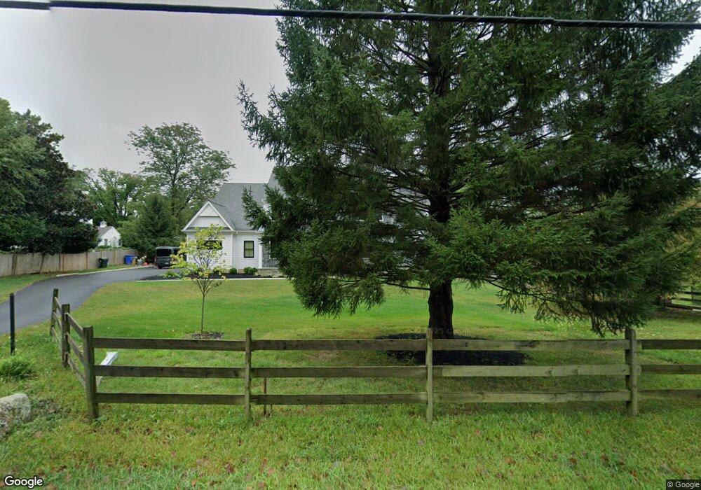
3519 Saint Davids Rd Newtown Square, PA 19073
Estimated Value: $1,413,000 - $2,440,999
5
Beds
5
Baths
3,648
Sq Ft
$500/Sq Ft
Est. Value
About This Home
This home is located at 3519 Saint Davids Rd, Newtown Square, PA 19073 and is currently estimated at $1,822,500, approximately $499 per square foot. 3519 Saint Davids Rd is a home located in Delaware County with nearby schools including Culbertson Elementary School, Paxon Hollow Middle School, and Marple Newtown Senior High School.
Ownership History
Date
Name
Owned For
Owner Type
Purchase Details
Closed on
Apr 25, 2012
Sold by
Cunningham James G and Cunningham Marilyn S
Bought by
Smith Mark W and Smith Erin
Current Estimated Value
Home Financials for this Owner
Home Financials are based on the most recent Mortgage that was taken out on this home.
Original Mortgage
$413,600
Outstanding Balance
$287,903
Interest Rate
4%
Mortgage Type
New Conventional
Estimated Equity
$1,534,597
Create a Home Valuation Report for This Property
The Home Valuation Report is an in-depth analysis detailing your home's value as well as a comparison with similar homes in the area
Home Values in the Area
Average Home Value in this Area
Purchase History
| Date | Buyer | Sale Price | Title Company |
|---|---|---|---|
| Smith Mark W | $517,000 | None Available |
Source: Public Records
Mortgage History
| Date | Status | Borrower | Loan Amount |
|---|---|---|---|
| Open | Smith Mark W | $413,600 |
Source: Public Records
Tax History Compared to Growth
Tax History
| Year | Tax Paid | Tax Assessment Tax Assessment Total Assessment is a certain percentage of the fair market value that is determined by local assessors to be the total taxable value of land and additions on the property. | Land | Improvement |
|---|---|---|---|---|
| 2025 | $9,177 | $1,051,770 | $244,010 | $807,760 |
| 2024 | $9,177 | $551,470 | $244,010 | $307,460 |
| 2023 | $8,888 | $551,470 | $244,010 | $307,460 |
| 2022 | $8,693 | $551,470 | $244,010 | $307,460 |
| 2021 | $13,290 | $551,470 | $244,010 | $307,460 |
| 2020 | $8,807 | $321,080 | $108,170 | $212,910 |
| 2019 | $8,668 | $321,080 | $108,170 | $212,910 |
| 2018 | $8,573 | $321,080 | $0 | $0 |
| 2017 | $8,545 | $321,080 | $0 | $0 |
| 2016 | $1,762 | $321,080 | $0 | $0 |
| 2015 | $1,798 | $321,080 | $0 | $0 |
| 2014 | $1,798 | $321,080 | $0 | $0 |
Source: Public Records
Map
Nearby Homes
- 659 Andover Rd
- 409 Timber Ln
- 600 Waynesfield Dr
- 3314 Saint Davids Rd
- 1052 Prescott Rd
- 0 Prescott Rd Unit PACT2110528
- 225 Charles Ellis Dr
- 1 Dunminning Rd
- 3711 Liseter Gardens
- 201 Church Rd
- 3804 Arbor Grove Ln
- 3111 Sawmill Rd
- 718 Lot 1 Waterloo
- 310 Jeffrey Ln
- 3905 Rockwood Farm Rd
- 709 Newtown Rd
- 1179 Beaumont Rd
- 238 E Chelsea Cir Unit 238
- 211 E Chelsea Cir
- 10 Fox Chase Cir
- 3507 Saint Davids Rd
- 3503 Saint Davids Rd
- 3505 Saint Davids Rd
- 611 Golf Club Rd
- 609 Golf Club Rd
- 608 Andover Rd
- 607 Golf Club Rd
- 602 Andover Rd
- 617 Golf Club Rd
- 3 Hedgerow Ln
- 1 Hedge Row Ln
- 3 Hedge Row Ln
- 614 Andover Rd
- 602 Golf Club Rd
- 619 Golf Club Rd
- 616 Andover Rd
- 611 Andover Rd
- 618 Andover Rd
- 612 Golf Club Rd
- 3421 Saint Davids Rd