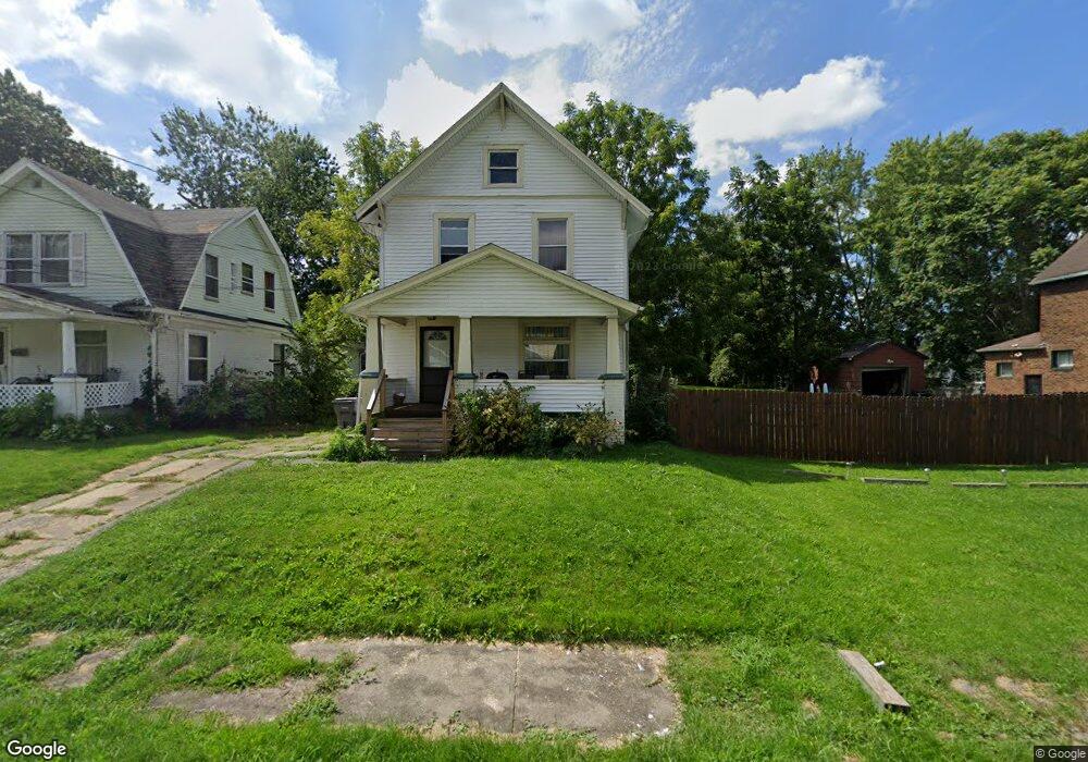
3520 Neilson Ave Youngstown, OH 44502
Buckeye Plat NeighborhoodEstimated Value: $62,000 - $87,000
3
Beds
1
Bath
1,278
Sq Ft
$56/Sq Ft
Est. Value
About This Home
This home is located at 3520 Neilson Ave, Youngstown, OH 44502 and is currently estimated at $71,874, approximately $56 per square foot. 3520 Neilson Ave is a home located in Mahoning County with nearby schools including Paul C. Bunn Elementary School, Chaney High School, and Summit Academy Secondary School - Youngstown.
Ownership History
Date
Name
Owned For
Owner Type
Purchase Details
Closed on
Oct 17, 2003
Sold by
Socie Darren E
Bought by
Crim Real Estate Investment Co Ltd #2
Current Estimated Value
Purchase Details
Closed on
Aug 28, 2003
Sold by
Interbay Funding Llc
Bought by
Socie Darren E
Purchase Details
Closed on
Aug 15, 2003
Sold by
Charity Clara V
Bought by
Interbay Funding Llc
Purchase Details
Closed on
Apr 26, 2000
Sold by
Jim Rich Realty Inc
Bought by
Charity Clara
Home Financials for this Owner
Home Financials are based on the most recent Mortgage that was taken out on this home.
Original Mortgage
$42,400
Interest Rate
8.24%
Purchase Details
Closed on
May 26, 1977
Bought by
Hippo Paul E and Hippo Esther M
Create a Home Valuation Report for This Property
The Home Valuation Report is an in-depth analysis detailing your home's value as well as a comparison with similar homes in the area
Home Values in the Area
Average Home Value in this Area
Purchase History
| Date | Buyer | Sale Price | Title Company |
|---|---|---|---|
| Crim Real Estate Investment Co Ltd #2 | $16,500 | -- | |
| Socie Darren E | $14,000 | -- | |
| Interbay Funding Llc | $24,000 | Fidelity Land Title | |
| Charity Clara | $53,000 | -- | |
| Hippo Paul E | -- | -- |
Source: Public Records
Mortgage History
| Date | Status | Borrower | Loan Amount |
|---|---|---|---|
| Previous Owner | Charity Clara | $42,400 |
Source: Public Records
Tax History Compared to Growth
Tax History
| Year | Tax Paid | Tax Assessment Tax Assessment Total Assessment is a certain percentage of the fair market value that is determined by local assessors to be the total taxable value of land and additions on the property. | Land | Improvement |
|---|---|---|---|---|
| 2024 | $474 | $9,650 | $850 | $8,800 |
| 2023 | $470 | $9,650 | $850 | $8,800 |
| 2022 | $424 | $6,700 | $850 | $5,850 |
| 2021 | $424 | $6,700 | $850 | $5,850 |
| 2020 | $427 | $6,700 | $850 | $5,850 |
| 2019 | $434 | $6,090 | $780 | $5,310 |
| 2018 | $439 | $6,090 | $780 | $5,310 |
| 2017 | $436 | $6,090 | $780 | $5,310 |
| 2016 | $471 | $7,090 | $780 | $6,310 |
| 2015 | $462 | $7,090 | $780 | $6,310 |
| 2014 | $458 | $7,090 | $780 | $6,310 |
| 2013 | $452 | $7,090 | $780 | $6,310 |
Source: Public Records
Map
Nearby Homes
- 3448 Neilson Ave
- 3509 Lenox Ave
- 3337 Powers Way
- 2016 Pointview Ave
- 3222 Sheridan Rd
- 2007 E Midlothian Blvd
- 1954 Everett Ave
- 0 Crescent Dr Unit 5124984
- 0 Weston Ave
- 2510 E Midlothian Blvd
- 1928 Medford Ave
- 3551 Shirley Rd
- 2562 Mount Vernon Ave
- 2001 Brownlee Ave
- 2577 E Midlothian Blvd
- 1653 Brownlee Ave
- 1654 Wakefield Ave
- 1313 Humbolt Ave
- 2743 Mount Vernon Ave
- 1633 Wakefield Ave
- 3524 Neilson Ave
- 3516 Neilson Ave
- 3512 Neilson Ave
- 3510 Neilson Ave
- 3532 Neilson Ave
- 3523 Sheridan Rd
- 3536 Neilson Ave
- 3519 Sheridan Rd
- 3519 Neilson Ave
- 3531 Sheridan Rd
- 3525 Neilson Ave
- 3515 Neilson Ave
- 3515 Sheridan Rd
- 3531 Neilson Ave
- 3540 Neilson Ave
- 3527 Neilson Ave
- 3511 Neilson Ave
- 3527 Sheridan Rd
- 3535 Sheridan Rd
- 3501 Sheridan Rd