35212 Shepards Path Laurel, DE 19956
Estimated Value: $184,000 - $222,000
2
Beds
--
Bath
943
Sq Ft
$220/Sq Ft
Est. Value
About This Home
This home is located at 35212 Shepards Path, Laurel, DE 19956 and is currently estimated at $207,409, approximately $219 per square foot. 35212 Shepards Path is a home located in Sussex County with nearby schools including North Laurel Elementary School, Laurel Elementary School, and Laurel Intermediate Middle School.
Ownership History
Date
Name
Owned For
Owner Type
Purchase Details
Closed on
Aug 4, 2023
Sold by
Royle Mason G
Bought by
Amaya Milton Bennet
Current Estimated Value
Home Financials for this Owner
Home Financials are based on the most recent Mortgage that was taken out on this home.
Original Mortgage
$162,000
Outstanding Balance
$158,211
Interest Rate
6.67%
Mortgage Type
New Conventional
Estimated Equity
$49,198
Create a Home Valuation Report for This Property
The Home Valuation Report is an in-depth analysis detailing your home's value as well as a comparison with similar homes in the area
Home Values in the Area
Average Home Value in this Area
Purchase History
| Date | Buyer | Sale Price | Title Company |
|---|---|---|---|
| Amaya Milton Bennet | $180,000 | None Listed On Document |
Source: Public Records
Mortgage History
| Date | Status | Borrower | Loan Amount |
|---|---|---|---|
| Open | Amaya Milton Bennet | $162,000 |
Source: Public Records
Tax History Compared to Growth
Tax History
| Year | Tax Paid | Tax Assessment Tax Assessment Total Assessment is a certain percentage of the fair market value that is determined by local assessors to be the total taxable value of land and additions on the property. | Land | Improvement |
|---|---|---|---|---|
| 2025 | $361 | $12,700 | $0 | $12,700 |
| 2024 | $566 | $12,700 | $0 | $12,700 |
| 2023 | $565 | $12,700 | $0 | $12,700 |
| 2022 | $557 | $12,700 | $0 | $12,700 |
| 2021 | $540 | $12,700 | $0 | $12,700 |
| 2020 | $516 | $12,700 | $0 | $12,700 |
| 2019 | $502 | $12,700 | $0 | $12,700 |
| 2018 | $507 | $13,400 | $0 | $0 |
| 2017 | $511 | $13,400 | $0 | $0 |
| 2016 | $450 | $13,400 | $0 | $0 |
| 2015 | $464 | $13,400 | $0 | $0 |
| 2014 | $457 | $13,400 | $0 | $0 |
Source: Public Records
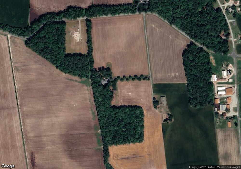
Map
Nearby Homes
- Lot 1D Meadow Branch Pine Grove Dr
- 0 Corner of Pine Grove & Holly Oak Dr Unit DESU2081234
- 32516 Holly Oak Dr
- 9162 Sharptown Rd
- 32298 Hastings Dr
- 9266 Sharptown Rd
- 9269 Sharptown Rd
- 33512 Horsey Church Rd
- 7132 Airport Rd
- 533 W 7th St
- 514 W 7th St
- 108 Crockett Ave
- 1154 W 6th St
- 1176 W 6th St
- 1115 W 6th St
- 0
- 211 W 6th St
- 8525 Portsville Rd
- 93 W 6th St
- 34037 Old Hickory Rd
- 4 Sharptown Rd
- 32890 Horsey Church Rd
- 32902 Horsey Church Rd
- 32914 Horsey Church Rd
- 8610 Sharptown Rd
- 8547 Sharptown Rd
- 32600 Aero Dr
- 8424 Airport Rd
- 8418 Airport Rd
- 8483 Sharptown Rd
- 33086 Horsey Church Rd
- 8452 Sharptown Rd
- 32770 Danmakay Dr
- 33094 Horsey Church Rd
- 8428 Sharptown Rd
- 8324 Airport Rd
- 8416 Sharptown Rd
- 8398 Sharptown Rd
- 8939 Sharptown Rd
- 8947 Sharptown Rd