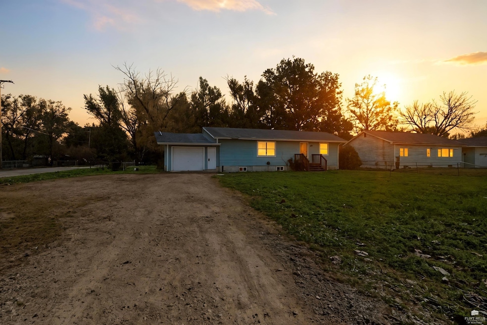
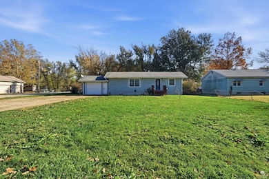
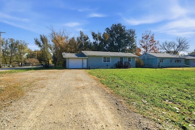
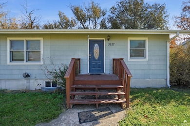
3527 Dempsey Rd Manhattan, KS 66502
Estimated payment $1,092/month
Highlights
- Ranch Style House
- No HOA
- Living Room
- Manhattan High School Rated A
- Patio
- Laundry Room
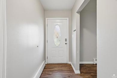
About This Home
Located on the edge of town on a half-acre fenced lot is this gem! Check out this updated 3BR/2BA ranch with modern amenities, finished basement and great potential for owner occupant or investor!
Listing Agent
Rockhill Real Estate Group License #SP00223775 Listed on: 11/16/2025
Home Details
Home Type
- Single Family
Est. Annual Taxes
- $1,375
Year Built
- Built in 1950
Lot Details
- 0.47 Acre Lot
- Chain Link Fence
Parking
- 1 Car Garage
Home Design
- Ranch Style House
- Asbestos
Interior Spaces
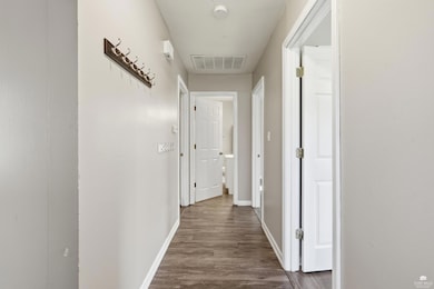
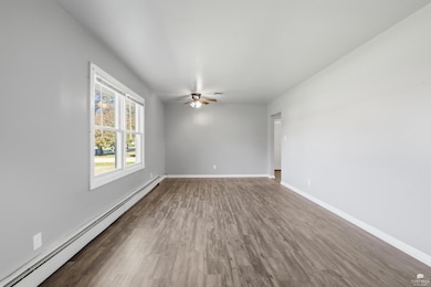
- 1,584 Sq Ft Home
- Ceiling Fan
- Family Room
- Living Room
- Dining Room
- Laundry Room
Flooring
- Carpet
- Vinyl
Bedrooms and Bathrooms
- 3 Bedrooms | 2 Main Level Bedrooms
- 2 Full Bathrooms
Partially Finished Basement
- 1 Bathroom in Basement
- 1 Bedroom in Basement
- Crawl Space
Outdoor Features
- Patio
Utilities
- Central Air
- Baseboard Heating
Community Details
- No Home Owners Association
Map
Home Values in the Area
Average Home Value in this Area
Tax History
| Year | Tax Paid | Tax Assessment Tax Assessment Total Assessment is a certain percentage of the fair market value that is determined by local assessors to be the total taxable value of land and additions on the property. | Land | Improvement |
|---|---|---|---|---|
| 2025 | $1,299 | $15,240 | $3,044 | $12,196 |
| 2024 | $13 | $14,584 | $2,543 | $12,041 |
| 2023 | $1,394 | $14,375 | $2,543 | $11,832 |
| 2022 | $1,453 | $15,724 | $2,171 | $13,553 |
| 2021 | $1,453 | $14,559 | $2,114 | $12,445 |
| 2020 | $1,453 | $14,472 | $2,768 | $11,704 |
| 2019 | $1,501 | $14,738 | $2,550 | $12,188 |
| 2018 | $1,457 | $14,723 | $2,550 | $12,173 |
| 2017 | $1,380 | $14,239 | $2,550 | $11,689 |
| 2016 | $1,341 | $14,100 | $2,107 | $11,993 |
| 2015 | -- | $13,743 | $766 | $12,977 |
| 2014 | -- | $13,743 | $766 | $12,977 |
Property History
| Date | Event | Price | List to Sale | Price per Sq Ft |
|---|---|---|---|---|
| 11/21/2025 11/21/25 | Pending | -- | -- | -- |
| 11/16/2025 11/16/25 | For Sale | $185,000 | -- | $117 / Sq Ft |
Purchase History
| Date | Type | Sale Price | Title Company |
|---|---|---|---|
| Warranty Deed | $203,224 | None Listed On Document | |
| Warranty Deed | -- | None Listed On Document |
Mortgage History
| Date | Status | Loan Amount | Loan Type |
|---|---|---|---|
| Closed | $152,800 | Construction |
Source: Flint Hills Association of REALTORS®
MLS Number: FHR20253069
APN: 312-10-0-40-02-004.00-0
Disclaimer: Certain information contained herein is derived from information provided by parties other than Homes.com. All information provided is deemed reliable, but is not guaranteed to be accurate and should be independently verified.
![]() IDX information is provided exclusively for consumers' personal, non-commercial use and may not be used for any purpose other than to identify prospective properties consumers may be interested in purchasing.
IDX information is provided exclusively for consumers' personal, non-commercial use and may not be used for any purpose other than to identify prospective properties consumers may be interested in purchasing.
Listing information is deemed reliable, but not guaranteed.
- 4031 Bald Eagle Dr
- 8739 Eagles Landing Dr
- 4116 Eagle Valley Dr
- 6100 Tumbleweed Terrace
- 0000 Tuttle Creek Blvd
- 4098 Tyler Ct
- 4105 Tyler Ct
- 9074 Tonya Terrace
- 4319 Aspen Dr
- 4314 Aspen Dr
- 8900 Butterfly Ln
- Matthew Plan at Nelson Ridge
- Madeline Plan at Nelson Ridge
- Mateo Plan at Nelson Ridge
- Sutton Plan at Nelson Ridge
- Porter Plan at Nelson Ridge
- Lennon Plan at Nelson Ridge
- Karlyn Plan at Nelson Ridge
- Louis Plan at Nelson Ridge
- Bianca Plan at Nelson Ridge
