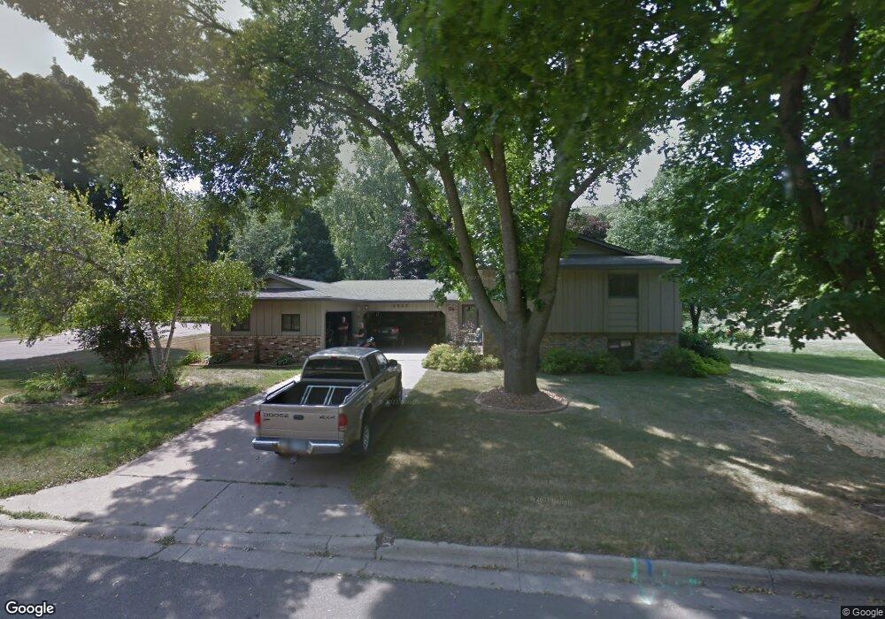
3527 Graves Dr Red Wing, MN 55066
Estimated Value: $358,000 - $389,000
4
Beds
2
Baths
2,310
Sq Ft
$163/Sq Ft
Est. Value
About This Home
This home is located at 3527 Graves Dr, Red Wing, MN 55066 and is currently estimated at $375,788, approximately $162 per square foot. 3527 Graves Dr is a home located in Goodhue County with nearby schools including Burnside Elementary School, Sunnyside Elementary School, and Twin Bluff Middle School.
Ownership History
Date
Name
Owned For
Owner Type
Purchase Details
Closed on
Sep 8, 2020
Sold by
Mcquiston Jacob Jacob
Bought by
Adam Laura Laura
Current Estimated Value
Home Financials for this Owner
Home Financials are based on the most recent Mortgage that was taken out on this home.
Interest Rate
2.93%
Purchase Details
Closed on
Sep 7, 2016
Sold by
Ruhlach Paul G and Ruhlach Gaye L
Bought by
Mcquiston Jacob M
Create a Home Valuation Report for This Property
The Home Valuation Report is an in-depth analysis detailing your home's value as well as a comparison with similar homes in the area
Home Values in the Area
Average Home Value in this Area
Purchase History
| Date | Buyer | Sale Price | Title Company |
|---|---|---|---|
| Adam Laura Laura | $307,000 | -- | |
| Mcquiston Jacob M | $230,500 | Attorney |
Source: Public Records
Mortgage History
| Date | Status | Borrower | Loan Amount |
|---|---|---|---|
| Closed | Adam Laura Laura | -- |
Source: Public Records
Tax History
| Year | Tax Paid | Tax Assessment Tax Assessment Total Assessment is a certain percentage of the fair market value that is determined by local assessors to be the total taxable value of land and additions on the property. | Land | Improvement |
|---|---|---|---|---|
| 2025 | $4,180 | $328,500 | $64,000 | $264,500 |
| 2024 | $4,180 | $323,700 | $64,000 | $259,700 |
| 2023 | $3,922 | $307,000 | $64,100 | $242,900 |
| 2022 | $3,644 | $298,000 | $57,000 | $241,000 |
| 2021 | $3,024 | $255,700 | $57,000 | $198,700 |
| 2020 | $2,986 | $219,400 | $57,000 | $162,400 |
| 2019 | $2,988 | $204,200 | $57,000 | $147,200 |
| 2018 | $2,418 | $206,400 | $54,900 | $151,500 |
| 2017 | $2,348 | $182,200 | $54,900 | $127,300 |
| 2016 | $2,174 | $179,600 | $54,900 | $124,700 |
| 2015 | $2,092 | $175,200 | $54,900 | $120,300 |
| 2014 | -- | $167,900 | $54,900 | $113,000 |
Source: Public Records
Map
Nearby Homes
- 3560 Graves Dr
- 3557 Skyline Dr
- 3429 Helen Ln
- 128 Charles Ave
- 186 Sargent Dr
- 210 Sargent Dr Unit 103
- 113 Burnside Ave S
- 1125 Hewitt Blvd
- 2773 Ridgeview Dr
- 1181 Hewitt Blvd
- 980 Aurora Cir
- 912 Aurora Cir
- 853 Aurora Cir
- 135 Kingswood Dr
- 1056 Birch Ave
- 4739 Big Sky Ct
- 921 Snowbird Dr
- 910 Snowbird Dr
- 914 Snowbird Dr
- 430 Harrison St
Your Personal Tour Guide
Ask me questions while you tour the home.