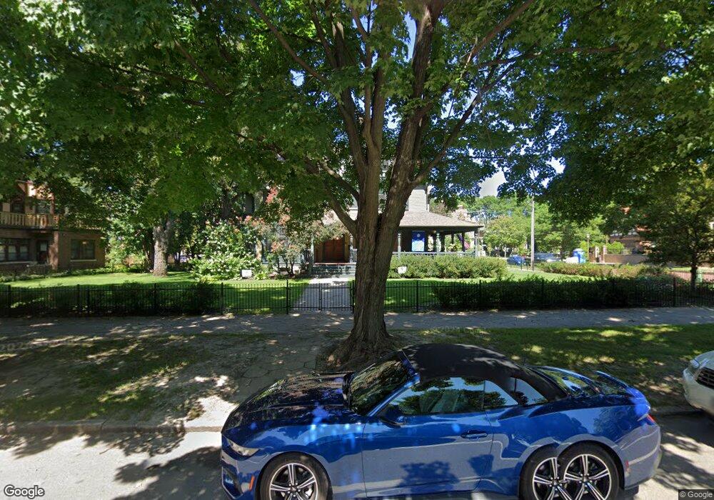
353 353 Summit Ave St. Paul, MN 55102
Summit-University NeighborhoodEstimated Value: $1,254,000 - $1,784,000
6
Beds
6
Baths
6,646
Sq Ft
$225/Sq Ft
Est. Value
About This Home
This home is located at 353 353 Summit Ave, St. Paul, MN 55102 and is currently estimated at $1,497,384, approximately $225 per square foot. 353 353 Summit Ave is a home located in Ramsey County with nearby schools including Maxfield Magnet Elementary School, Hidden River Middle School, and Central Senior High School.
Ownership History
Date
Name
Owned For
Owner Type
Purchase Details
Closed on
Oct 18, 2017
Sold by
Lorenz Meyer Elizabeth and Lorenz Meyer Martin
Bought by
Cummins Brendan D and Cummins Karla Lauerman
Current Estimated Value
Home Financials for this Owner
Home Financials are based on the most recent Mortgage that was taken out on this home.
Original Mortgage
$729,000
Outstanding Balance
$395,605
Interest Rate
3.78%
Mortgage Type
New Conventional
Estimated Equity
$1,101,779
Create a Home Valuation Report for This Property
The Home Valuation Report is an in-depth analysis detailing your home's value as well as a comparison with similar homes in the area
Home Values in the Area
Average Home Value in this Area
Purchase History
| Date | Buyer | Sale Price | Title Company |
|---|---|---|---|
| Cummins Brendan D | $1,215,000 | Edina Realty Title Inc |
Source: Public Records
Mortgage History
| Date | Status | Borrower | Loan Amount |
|---|---|---|---|
| Open | Cummins Brendan D | $729,000 |
Source: Public Records
Tax History
| Year | Tax Paid | Tax Assessment Tax Assessment Total Assessment is a certain percentage of the fair market value that is determined by local assessors to be the total taxable value of land and additions on the property. | Land | Improvement |
|---|---|---|---|---|
| 2025 | $21,440 | $1,258,700 | $439,300 | $819,400 |
| 2023 | $21,440 | $1,246,500 | $439,300 | $807,200 |
| 2022 | $22,562 | $1,216,700 | $439,300 | $777,400 |
| 2021 | $21,750 | $1,243,100 | $351,400 | $891,700 |
| 2020 | $23,584 | $1,242,800 | $351,400 | $891,400 |
| 2019 | $23,866 | $1,248,800 | $439,300 | $809,500 |
| 2018 | $29,778 | $1,250,500 | $439,300 | $811,200 |
| 2017 | $30,198 | $1,572,500 | $439,300 | $1,133,200 |
| 2016 | $29,072 | $0 | $0 | $0 |
| 2015 | $28,018 | $1,527,900 | $439,300 | $1,088,600 |
| 2014 | $31,624 | $0 | $0 | $0 |
Source: Public Records
Map
Nearby Homes
- 80 Western Ave N Unit 105
- 96 Virginia St
- 102 Western Ave N Unit 4
- 112 Western Ave N Unit 4
- 417 Holly Ave
- 349 Ramsey St Unit 349A
- 345 Ramsey St Unit 345B
- 345 Grand Ave
- 359 Pleasant Ave
- 383 Grand Ave Unit 9
- 311 Pleasant Ave Unit 215
- 311 Pleasant Ave Unit 404
- 301 Selby Ave
- 309 W Harrison Ave
- 456 Summit Ave Unit 203
- 304 Marshall Ave Unit 5
- 300 Marshall Ave Unit 6
- 520 Holly Ave
- 506 Summit Ave
- 518 Laurel Ave
- 353 Summit Ave
- 361 Summit Ave
- 361 Summit Ave Unit 1
- 345 Summit Ave Unit 2
- 345 Summit Ave Unit 1
- 345 345 Summit-Avenue-
- 365 Summit Ave
- 339 Summit Ave Unit 5
- 339 Summit Ave Unit 2
- 339 Summit Ave Unit 3
- 339 Summit Ave Unit 1
- 339 Summit Ave Unit 4
- 339 Summit Ave
- 339 Summit Ave
- 90 Virginia St
- 362 Summit Ave
- 364 Summit Ave Unit 2W
- 364 Summit Ave Unit 1W
- 362 Summit Ave
- 362 Summit Ave Unit 2E
Your Personal Tour Guide
Ask me questions while you tour the home.