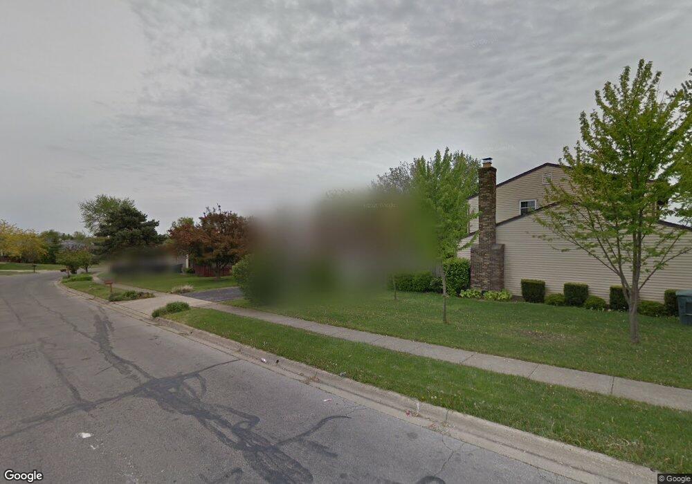
353 Branding Iron Dr Galloway, OH 43119
Westchester-Green Countrie NeighborhoodEstimated Value: $292,000 - $299,385
4
Beds
2
Baths
1,108
Sq Ft
$266/Sq Ft
Est. Value
About This Home
This home is located at 353 Branding Iron Dr, Galloway, OH 43119 and is currently estimated at $295,096, approximately $266 per square foot. 353 Branding Iron Dr is a home located in Franklin County with nearby schools including Darby Woods Elementary School, Galloway Ridge Intermediate School, and Pleasant View Middle School.
Ownership History
Date
Name
Owned For
Owner Type
Purchase Details
Closed on
Jan 2, 2007
Sold by
Grubb David A
Bought by
Grubb Connie S and Mcconnaughey Connie S
Current Estimated Value
Purchase Details
Closed on
Jan 7, 1987
Bought by
Grubb David A and Grubb Connie S
Purchase Details
Closed on
Jan 1, 1987
Purchase Details
Closed on
Aug 1, 1986
Create a Home Valuation Report for This Property
The Home Valuation Report is an in-depth analysis detailing your home's value as well as a comparison with similar homes in the area
Home Values in the Area
Average Home Value in this Area
Purchase History
| Date | Buyer | Sale Price | Title Company |
|---|---|---|---|
| Grubb Connie S | -- | Attorney | |
| Grubb David A | $79,900 | -- | |
| -- | -- | -- | |
| -- | -- | -- |
Source: Public Records
Tax History Compared to Growth
Tax History
| Year | Tax Paid | Tax Assessment Tax Assessment Total Assessment is a certain percentage of the fair market value that is determined by local assessors to be the total taxable value of land and additions on the property. | Land | Improvement |
|---|---|---|---|---|
| 2024 | $3,543 | $97,170 | $30,280 | $66,890 |
| 2023 | $3,480 | $97,170 | $30,280 | $66,890 |
| 2022 | $2,633 | $53,940 | $9,590 | $44,350 |
| 2021 | $2,685 | $53,940 | $9,590 | $44,350 |
| 2020 | $2,670 | $53,940 | $9,590 | $44,350 |
| 2019 | $2,531 | $45,120 | $7,980 | $37,140 |
| 2018 | $2,424 | $45,120 | $7,980 | $37,140 |
| 2017 | $2,419 | $45,120 | $7,980 | $37,140 |
| 2016 | $2,329 | $38,500 | $7,700 | $30,800 |
| 2015 | $2,329 | $38,500 | $7,700 | $30,800 |
| 2014 | $2,332 | $38,500 | $7,700 | $30,800 |
| 2013 | $1,217 | $40,530 | $8,120 | $32,410 |
Source: Public Records
Map
Nearby Homes
- 5615 Sullivant Ave
- 440 Northforty Dr
- 5824 Hunting Hollow Ct Unit 5824-5826
- 420 Pamlico St Unit 8
- 477 Clairbrook Ave
- 242 Rockbrook Crossing Ave
- 5843 Tully Cross Dr
- 515 Clairbrook Ave
- 529 Clairbrook Ave Unit 13
- 5715 Oyster Bay Way
- 349 Ravensdale Place
- 631 Dlyn St Unit 12
- 579 Simbury St Unit B9
- 5773 Sharets Dr
- 671 Simbury St
- 429 Postle Blvd
- 88 Hilliard Rome Rd
- 332 Rye St Unit Lot 53
- 320 Rye St Unit Lot 51
- 314 Rye St Unit Lot 50
- 361 Branding Iron Dr
- 5607 Sullivant Ave
- 369 Branding Iron Dr
- 340 Old Ranch Ct
- 5585 Sullivant Ave
- 5623 Sullivant Ave
- 367 Northforty Dr
- 5617 Countrie Glen Dr
- 5634 Countrie Side Dr
- 372 Branding Iron Dr
- 375 Northforty Dr
- 5631 Sullivant Ave
- 5577 Sullivant Ave
- 346 Old Ranch Ct
- 380 Branding Iron Dr
- 357 Old Ranch Ct
- 389 Branding Iron Dr
- 5639 Sullivant Ave
- 5569 Sullivant Ave
- 5625 Countrie Glen Dr