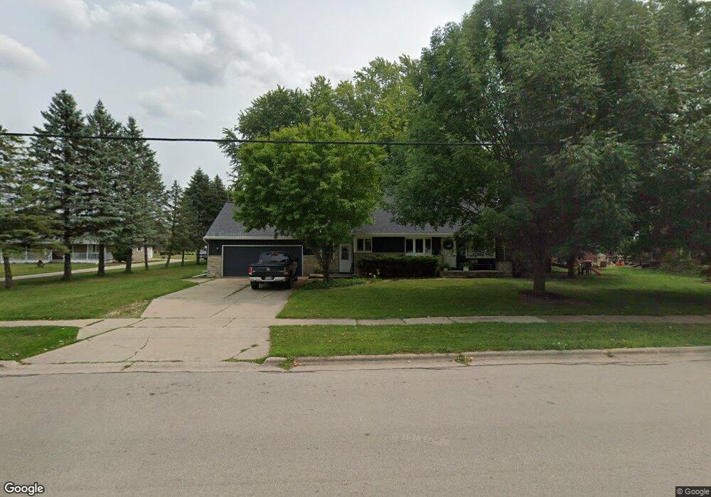
353 Main St Wrightstown, WI 54180
Estimated Value: $269,052 - $365,000
Studio
--
Bath
--
Sq Ft
16,596
Sq Ft
About This Home
This home is located at 353 Main St, Wrightstown, WI 54180 and is currently estimated at $308,513. 353 Main St is a home located in Brown County with nearby schools including Wrightstown Elementary School, Wrightstown Middle School, and Wrightstown High School.
Ownership History
Date
Name
Owned For
Owner Type
Purchase Details
Closed on
Dec 30, 2003
Sold by
Fritsch Erica L
Bought by
Theunis Jared
Current Estimated Value
Home Financials for this Owner
Home Financials are based on the most recent Mortgage that was taken out on this home.
Original Mortgage
$130,945
Outstanding Balance
$60,983
Interest Rate
5.84%
Mortgage Type
FHA
Estimated Equity
$247,530
Purchase Details
Closed on
Oct 10, 2003
Sold by
Greenleaf Wayside Bank
Bought by
Fritsch Erica L
Home Financials for this Owner
Home Financials are based on the most recent Mortgage that was taken out on this home.
Original Mortgage
$87,000
Interest Rate
6.23%
Mortgage Type
Seller Take Back
Create a Home Valuation Report for This Property
The Home Valuation Report is an in-depth analysis detailing your home's value as well as a comparison with similar homes in the area
Home Values in the Area
Average Home Value in this Area
Purchase History
| Date | Buyer | Sale Price | Title Company |
|---|---|---|---|
| Theunis Jared | $133,000 | Title Svcs Of Green Bay Inc | |
| Fritsch Erica L | $97,000 | -- |
Source: Public Records
Mortgage History
| Date | Status | Borrower | Loan Amount |
|---|---|---|---|
| Open | Theunis Jared | $130,945 | |
| Previous Owner | Fritsch Erica L | $87,000 |
Source: Public Records
Tax History
| Year | Tax Paid | Tax Assessment Tax Assessment Total Assessment is a certain percentage of the fair market value that is determined by local assessors to be the total taxable value of land and additions on the property. | Land | Improvement |
|---|---|---|---|---|
| 2024 | $3,331 | $230,300 | $38,600 | $191,700 |
| 2023 | $3,643 | $230,300 | $38,600 | $191,700 |
| 2022 | $3,724 | $153,100 | $29,000 | $124,100 |
| 2021 | $3,598 | $153,100 | $29,000 | $124,100 |
| 2020 | $3,468 | $153,100 | $29,000 | $124,100 |
| 2019 | $3,284 | $153,100 | $29,000 | $124,100 |
| 2018 | $3,064 | $153,100 | $29,000 | $124,100 |
| 2017 | $2,776 | $133,500 | $24,500 | $109,000 |
| 2016 | $2,902 | $133,500 | $24,500 | $109,000 |
| 2015 | $2,913 | $133,500 | $24,500 | $109,000 |
| 2014 | $2,846 | $133,500 | $24,500 | $109,000 |
| 2013 | $2,846 | $133,500 | $24,500 | $109,000 |
Source: Public Records
Map
Nearby Homes
- 361 Main St
- 421 Fawnwood Ct
- 119 Main St
- 309 Louise Dr
- 217 Patricia Ln
- 109 Nicole Ln
- 4207 Lost Dauphin Rd
- 544 Nicole Ln
- 548 Nicole Ln
- 30 Golden Wheat Ln
- 4079 Lost Dauphin Rd
- 113 Beckerae Ct
- 230 Kerrigan Dr
- 110 Beckerae Ct
- 248 Kerrigan Dr
- 278 Kerrigan Dr
- 128 Beckerae Ct
- 269 Kerrigan Dr
- 287 Kerrigan Dr
- 308 Kerrigan Dr
Your Personal Tour Guide
Ask me questions while you tour the home.