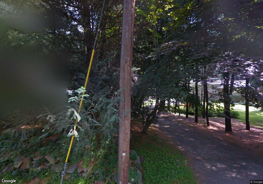
353 Mountain Rd Wilton, CT 06897
Estimated Value: $1,034,000 - $1,291,000
4
Beds
3
Baths
2,860
Sq Ft
$396/Sq Ft
Est. Value
About This Home
This home is located at 353 Mountain Rd, Wilton, CT 06897 and is currently estimated at $1,133,963, approximately $396 per square foot. 353 Mountain Rd is a home located in Fairfield County with nearby schools including Miller-Driscoll School, Cider Mill School, and Middlebrook School.
Ownership History
Date
Name
Owned For
Owner Type
Purchase Details
Closed on
Nov 8, 2010
Sold by
Fraser Mark E and Fraser Charity L
Bought by
Simmons Huntington H
Current Estimated Value
Purchase Details
Closed on
Mar 16, 2006
Sold by
Obrien Brian Boru and Obrien Jill
Bought by
Fraser Mark E
Create a Home Valuation Report for This Property
The Home Valuation Report is an in-depth analysis detailing your home's value as well as a comparison with similar homes in the area
Home Values in the Area
Average Home Value in this Area
Purchase History
| Date | Buyer | Sale Price | Title Company |
|---|---|---|---|
| Simmons Huntington H | $770,000 | -- | |
| Fraser Mark E | $83,000 | -- |
Source: Public Records
Mortgage History
| Date | Status | Borrower | Loan Amount |
|---|---|---|---|
| Open | Fraser Mark E | $303,409 | |
| Previous Owner | Fraser Mark E | $417,000 | |
| Previous Owner | Fraser Mark E | $200,000 | |
| Previous Owner | Fraser Mark E | $40,000 |
Source: Public Records
Tax History Compared to Growth
Tax History
| Year | Tax Paid | Tax Assessment Tax Assessment Total Assessment is a certain percentage of the fair market value that is determined by local assessors to be the total taxable value of land and additions on the property. | Land | Improvement |
|---|---|---|---|---|
| 2025 | $13,507 | $553,350 | $319,620 | $233,730 |
| 2024 | $13,247 | $553,350 | $319,620 | $233,730 |
| 2023 | $13,014 | $444,780 | $305,620 | $139,160 |
| 2022 | $12,556 | $444,780 | $305,620 | $139,160 |
| 2021 | $12,396 | $444,780 | $305,620 | $139,160 |
| 2020 | $12,214 | $444,780 | $305,620 | $139,160 |
| 2019 | $12,694 | $444,780 | $305,620 | $139,160 |
| 2018 | $12,355 | $438,270 | $320,880 | $117,390 |
| 2017 | $12,171 | $438,270 | $320,880 | $117,390 |
| 2016 | $11,982 | $438,270 | $320,880 | $117,390 |
| 2015 | $11,759 | $438,270 | $320,880 | $117,390 |
| 2014 | $11,619 | $438,270 | $320,880 | $117,390 |
Source: Public Records
Map
Nearby Homes
- 146 Scribner Hill Rd
- 38 Honey Hill Rd
- 00 Old Mill Rd
- 175 Mountain Rd
- 475 Danbury Rd
- 0 Old Mill Rd
- 96 Georgetown Rd
- 20 Georgetown Rd
- 0 Mountain Rd
- 66 Portland Ave
- 269 Thunder Lake Rd
- 64 Portland Ave
- 4 Trails End Rd
- 7 Peaceable St
- 14 Tanners Dr
- 26 Wilridge Rd
- 14 Langner Ln
- 15 Mountain View Dr
- 55 Tanners Dr
- 33 Middlebrook Farm Rd
- 25 Bristol Place
- 349 Mountain Rd
- 23 Bristol Place
- 132 Scribner Hill Rd
- 357 Mountain Rd
- 22 Black Birch Dr
- 24 Bristol Place
- 136 Scribner Hill Rd
- 26 Bristol Place
- 126 Scribner Hill Rd
- 9 Black Birch Dr
- 11 Bristol Place
- 369 Mountain Rd
- 359 Mountain Rd
- 345 Mountain Rd
- 140 Scribner Hill Rd
- 29 Dorado Ct
- 331 Mountain Rd
- 6 Boulder Brook Rd
- 125 Scribner Hill Rd
