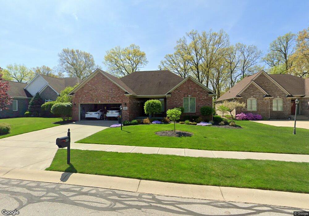
353 Ventnor Ct Indianapolis, IN 46217
Linden Wood NeighborhoodEstimated Value: $329,000 - $433,000
--
Bed
1
Bath
1,939
Sq Ft
$196/Sq Ft
Est. Value
About This Home
This home is located at 353 Ventnor Ct, Indianapolis, IN 46217 and is currently estimated at $380,466, approximately $196 per square foot. 353 Ventnor Ct is a home located in Marion County with nearby schools including William Henry Burkhart Elementary School, Perry Meridian 6th Grade Academy, and Perry Meridian Middle School.
Ownership History
Date
Name
Owned For
Owner Type
Purchase Details
Closed on
Dec 1, 2020
Sold by
Roberts William Frederick and Roberts Karen Houck
Bought by
Roberts Trust
Current Estimated Value
Purchase Details
Closed on
Nov 21, 2013
Sold by
Roberts Karen H and Estate Of Robert D Houck
Bought by
Roberts William F and Roberts Karen H
Purchase Details
Closed on
Sep 22, 2003
Sold by
Parke Place Llc
Bought by
Houck Robert D and Houck Joan M
Create a Home Valuation Report for This Property
The Home Valuation Report is an in-depth analysis detailing your home's value as well as a comparison with similar homes in the area
Home Values in the Area
Average Home Value in this Area
Purchase History
| Date | Buyer | Sale Price | Title Company |
|---|---|---|---|
| Roberts Trust | -- | None Available | |
| Roberts William F | -- | None Available | |
| Houck Robert D | -- | None Available |
Source: Public Records
Tax History Compared to Growth
Tax History
| Year | Tax Paid | Tax Assessment Tax Assessment Total Assessment is a certain percentage of the fair market value that is determined by local assessors to be the total taxable value of land and additions on the property. | Land | Improvement |
|---|---|---|---|---|
| 2024 | $5,172 | $410,200 | $55,500 | $354,700 |
| 2023 | $5,172 | $392,500 | $55,500 | $337,000 |
| 2022 | $4,886 | $361,700 | $55,500 | $306,200 |
| 2021 | $4,649 | $339,200 | $55,500 | $283,700 |
| 2020 | $4,001 | $290,900 | $55,500 | $235,400 |
| 2019 | $3,952 | $285,800 | $45,600 | $240,200 |
| 2018 | $3,682 | $269,600 | $45,600 | $224,000 |
| 2017 | $3,577 | $261,900 | $45,600 | $216,300 |
| 2016 | $3,526 | $258,000 | $45,600 | $212,400 |
| 2014 | $2,725 | $224,700 | $45,600 | $179,100 |
| 2013 | $2,700 | $224,700 | $45,600 | $179,100 |
Source: Public Records
Map
Nearby Homes
- 136 W Loretta Dr
- 115 Jordan Rd
- 400 W Southport Rd
- 402 W Banta Rd
- 7017 Chimney Rock Ct
- 7011 Mclain Dr
- 655 Yosemite Dr
- 602 W Southport Rd
- 639 W Banta Rd
- 6712 Forrest Commons Blvd
- 745 W Banta Rd
- 128 Dahlia Ln
- 6520 Forrest Commons Blvd
- 20 Forrests Edge Ct
- 747 Yosemite Dr
- 27 Forrests Edge Ct
- 830 Yosemite Dr
- 6725 Robin Hood Ct
- 7126 Forest Park Dr
- 7146 Chandler Ct
- 345 Ventnor Ct
- 361 Ventnor Ct
- 345 Ventnor Ct
- 337 Ventnor Ct
- 337 Ventnor Ct
- 6748 Ventnor Ln
- 361 Ventnor Ln
- 350 Ventnor Ct
- 350 Ventnor Ct
- 6740 Ventnor Ln
- 331 Ventnor Ct
- 331 Ventnor Ct
- 344 Ventnor Ct
- 344 Ventnor Ct
- 392 Jordan Rd
- 338 Ventnor Ct
- 338 Ventnor Ct
- 378 Jordan Rd
- 6656 Carolina Blvd
- 396 Jordan Rd