35333 Road R.6 Mancos, CO 81328
Estimated Value: $692,000 - $948,000
1
Bed
1
Bath
1,912
Sq Ft
$439/Sq Ft
Est. Value
About This Home
This home is located at 35333 Road R.6, Mancos, CO 81328 and is currently estimated at $838,602, approximately $438 per square foot. 35333 Road R.6 is a home with nearby schools including Dolores Elementary School, Dolores Middle School, and Dolores High School.
Ownership History
Date
Name
Owned For
Owner Type
Purchase Details
Closed on
May 9, 2025
Sold by
John And Linda Parsons Living Trust
Bought by
Renard Family Trust
Current Estimated Value
Purchase Details
Closed on
Nov 13, 2012
Sold by
Parsons John F and Parsons Linda L
Bought by
John & Linda Parsons Living Trust
Purchase Details
Closed on
Jun 4, 2010
Sold by
Kosola Albert A and Kosola Ellen B
Bought by
Parsons John F and Parsons Linda L
Purchase Details
Closed on
Aug 11, 1992
Sold by
Rogers Charlie M
Bought by
Kosola Albert A and Kosola Ellen B
Create a Home Valuation Report for This Property
The Home Valuation Report is an in-depth analysis detailing your home's value as well as a comparison with similar homes in the area
Home Values in the Area
Average Home Value in this Area
Purchase History
| Date | Buyer | Sale Price | Title Company |
|---|---|---|---|
| Renard Family Trust | $840,000 | Cts | |
| John & Linda Parsons Living Trust | -- | None Available | |
| Parsons John F | $86,900 | None Available | |
| Kosola Albert A | $22,000 | -- |
Source: Public Records
Tax History Compared to Growth
Tax History
| Year | Tax Paid | Tax Assessment Tax Assessment Total Assessment is a certain percentage of the fair market value that is determined by local assessors to be the total taxable value of land and additions on the property. | Land | Improvement |
|---|---|---|---|---|
| 2024 | $1,112 | $15,821 | $3,367 | $12,454 |
| 2023 | $1,112 | $20,199 | $4,298 | $15,901 |
| 2022 | $1,038 | $17,815 | $5,373 | $12,442 |
| 2021 | $1,059 | $17,815 | $5,373 | $12,442 |
| 2020 | $1,054 | $17,912 | $5,094 | $12,818 |
| 2019 | $868 | $17,912 | $5,094 | $12,818 |
| 2018 | $891 | $13,610 | $4,610 | $9,000 |
| 2017 | $877 | $13,610 | $4,610 | $9,000 |
| 2016 | $830 | $12,960 | $5,090 | $7,870 |
| 2015 | $830 | $188,820 | $0 | $0 |
| 2014 | $836 | $12,960 | $0 | $0 |
Source: Public Records
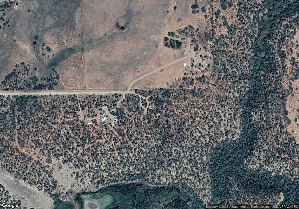
Map
Nearby Homes
- 15021 Road 35
- 15255 Road 35
- 34495 Road P 2
- 34495
- 0 Tbd Road P2 Loop Unit 827917
- 34958 Road P 2
- TBD Lot 1 Hay Camp Mesa
- TBD Lot 2 Hay Camp Mesa
- 36794 Road T 7
- 17 Road T 7
- 14466 Road 32.1
- 37875 Colorado 184
- 34099 Road M
- 19399 Road 34 6
- 17501 Fs 376
- 18656 Highway 145
- TBD Road N 2 Lot 2
- 31345 Colorado 184
- 12161 Road 32
- 38203 County Road L 8
- 35294 Road R.6
- 15640 Road 35 3
- 35397 Road R.6
- 35350 Road R
- 15673 Road 35.3
- 35350 Road R.6
- 15731 Road 35.3
- 0 Road R 6 Unit 755271
- 0 Road R 6 Unit 655613
- 0 Road R 6 Unit 672550
- 35450 Road R
- 35453 R 6
- 35395 Road R 5
- 35324 Road R
- 15730 Road 35.3
- 15730 Road 35
- 35300 Road R.5
- 35324 Road R 5
- 15586 Road 35
- 15586 Road 35