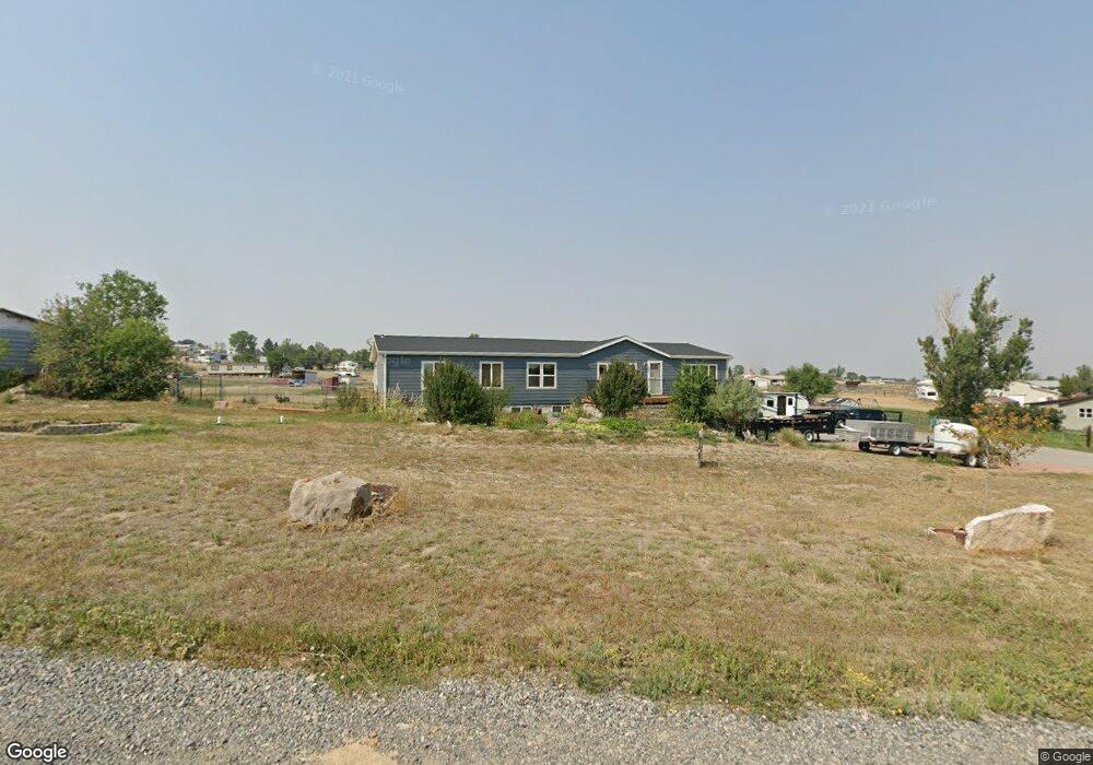
3536 Clint Rd Billings, MT 59105
Billings Heights NeighborhoodEstimated Value: $441,000 - $497,000
3
Beds
2
Baths
2,040
Sq Ft
$229/Sq Ft
Est. Value
About This Home
This home is located at 3536 Clint Rd, Billings, MT 59105 and is currently estimated at $466,280, approximately $228 per square foot. 3536 Clint Rd is a home located in Yellowstone County with nearby schools including Independent Elementary School, Castle Rock Junior High School, and Skyview High School.
Ownership History
Date
Name
Owned For
Owner Type
Purchase Details
Closed on
Sep 11, 2015
Sold by
Kirkness Cari A and Ledosquet Cari A
Bought by
Ledosquet Craig A and Ledosquet Cari A
Current Estimated Value
Purchase Details
Closed on
May 22, 2009
Sold by
Spadt Travis A
Bought by
Kirkness Cari A
Home Financials for this Owner
Home Financials are based on the most recent Mortgage that was taken out on this home.
Original Mortgage
$190,272
Outstanding Balance
$119,894
Interest Rate
4.8%
Mortgage Type
FHA
Estimated Equity
$346,386
Create a Home Valuation Report for This Property
The Home Valuation Report is an in-depth analysis detailing your home's value as well as a comparison with similar homes in the area
Home Values in the Area
Average Home Value in this Area
Purchase History
| Date | Buyer | Sale Price | Title Company |
|---|---|---|---|
| Ledosquet Craig A | -- | None Available | |
| Kirkness Cari A | -- | Ctic |
Source: Public Records
Mortgage History
| Date | Status | Borrower | Loan Amount |
|---|---|---|---|
| Open | Kirkness Cari A | $190,272 |
Source: Public Records
Tax History Compared to Growth
Tax History
| Year | Tax Paid | Tax Assessment Tax Assessment Total Assessment is a certain percentage of the fair market value that is determined by local assessors to be the total taxable value of land and additions on the property. | Land | Improvement |
|---|---|---|---|---|
| 2025 | $3,014 | $440,500 | $73,618 | $366,882 |
| 2024 | $3,014 | $412,600 | $58,574 | $354,026 |
| 2023 | $3,211 | $412,600 | $58,574 | $354,026 |
| 2022 | $2,161 | $299,200 | $0 | $0 |
| 2021 | $2,638 | $299,200 | $0 | $0 |
| 2020 | $2,572 | $305,200 | $0 | $0 |
| 2019 | $2,585 | $305,200 | $0 | $0 |
| 2018 | $2,616 | $284,700 | $0 | $0 |
| 2017 | $2,196 | $284,700 | $0 | $0 |
| 2016 | $2,485 | $288,200 | $0 | $0 |
| 2015 | $2,348 | $288,200 | $0 | $0 |
| 2014 | $2,084 | $129,161 | $0 | $0 |
Source: Public Records
Map
Nearby Homes
- 2719 Strapper Ln
- 2737 Strapper Ln
- 2738 Strapper Ln
- 2743 Strapper Ln
- 2731 Strapper Ln
- 3415 Cherylon St
- 3520 Cherylon St
- 1363 Kelsey Ln
- 1368 Kelsey Ln
- 1408 Eugene Ave
- 1375 Kelsey Ln
- 1369 Kelsey Ln
- 1362 Kelsey Ln
- 1364 W Eugene Ave
- 2612 Palmer Ln
- 1395 W Eugene Ave
- 2647 Palmer Ln
- 2635 Palmer Ln
- 2641 Palmer Ln
- 2623 Palmer Ln
- 3526 Clint Rd
- 3527 Clint Rd
- 3550 Clint Rd
- 3537 Clint Rd
- 3555 Clint Rd
- 1800 Wagon Wheel Rd
- 1728 Wagon Wheel Rd
- 3537 Broken Yoke Dr
- 3570 Clint Rd
- LT 7 BLK 2 Clint Rd
- LOT 5 Block 3 Clint Rd
- LT 1 BLK 3 Clint Rd
- 1801 Wagon Wheel Rd
- 3526 Broken Yoke Dr
- 3608 Stampede Trail
- 1819 Wagon Wheel Rd
- 3507 Us Highway 312
- 3608 Clint Rd
- 3532 Broken Yoke Dr
- 3542 Broken Yoke Dr