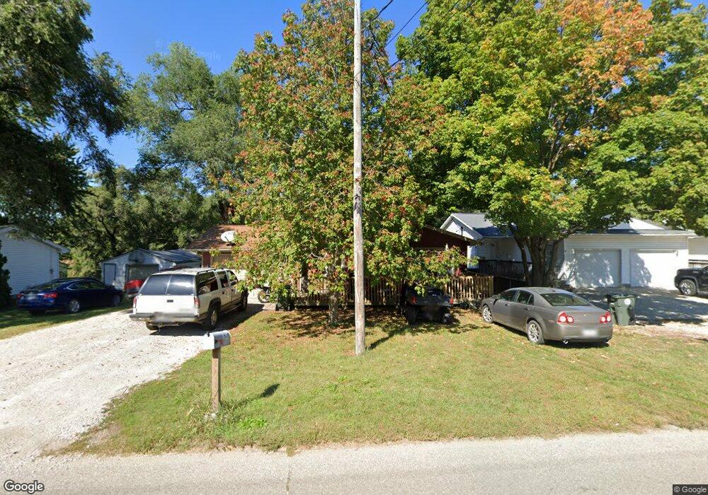
3541 E Shaulis Rd Waterloo, IA 50702
Estimated Value: $146,000 - $195,000
5
Beds
2
Baths
1,060
Sq Ft
$158/Sq Ft
Est. Value
About This Home
This home is located at 3541 E Shaulis Rd, Waterloo, IA 50702 and is currently estimated at $167,938, approximately $158 per square foot. 3541 E Shaulis Rd is a home located in Black Hawk County with nearby schools including Orange Elementary School, Hoover Middle School, and West High School.
Ownership History
Date
Name
Owned For
Owner Type
Purchase Details
Closed on
Sep 13, 2024
Sold by
Ricky L Kiefer Revocable Trust and Kiefer Julie A
Bought by
Kiefer Julie A
Current Estimated Value
Purchase Details
Closed on
Aug 31, 2007
Sold by
Kehoe Brent and Kehoe Jacqui
Bought by
Bloom Jason M and Jacoby Joseph E
Home Financials for this Owner
Home Financials are based on the most recent Mortgage that was taken out on this home.
Original Mortgage
$104,176
Interest Rate
6.79%
Mortgage Type
FHA
Purchase Details
Closed on
Jan 28, 2005
Sold by
Geary Daniel and Geary Nenita
Bought by
Kehoe Brent and Kehoe Jacqui
Home Financials for this Owner
Home Financials are based on the most recent Mortgage that was taken out on this home.
Original Mortgage
$19,400
Interest Rate
5.77%
Mortgage Type
Credit Line Revolving
Create a Home Valuation Report for This Property
The Home Valuation Report is an in-depth analysis detailing your home's value as well as a comparison with similar homes in the area
Home Values in the Area
Average Home Value in this Area
Purchase History
| Date | Buyer | Sale Price | Title Company |
|---|---|---|---|
| Kiefer Julie A | -- | None Listed On Document | |
| Bloom Jason M | $105,000 | Black Hawk County Abstract & | |
| Kehoe Brent | $97,000 | Black Hawk County Abstract C |
Source: Public Records
Mortgage History
| Date | Status | Borrower | Loan Amount |
|---|---|---|---|
| Previous Owner | Bloom Jason M | $104,176 | |
| Previous Owner | Kehoe Brent | $19,400 |
Source: Public Records
Tax History Compared to Growth
Tax History
| Year | Tax Paid | Tax Assessment Tax Assessment Total Assessment is a certain percentage of the fair market value that is determined by local assessors to be the total taxable value of land and additions on the property. | Land | Improvement |
|---|---|---|---|---|
| 2024 | $2,562 | $128,310 | $12,240 | $116,070 |
| 2023 | $2,628 | $128,310 | $12,240 | $116,070 |
| 2022 | $2,556 | $128,530 | $12,240 | $116,290 |
| 2021 | $2,716 | $128,530 | $12,240 | $116,290 |
| 2020 | $2,668 | $128,530 | $12,240 | $116,290 |
| 2019 | $2,668 | $128,530 | $12,240 | $116,290 |
| 2018 | $2,672 | $128,530 | $12,240 | $116,290 |
| 2017 | $2,672 | $128,530 | $12,240 | $116,290 |
| 2016 | $2,718 | $128,530 | $12,240 | $116,290 |
| 2015 | $2,718 | $128,530 | $12,240 | $116,290 |
| 2014 | $2,770 | $128,530 | $12,240 | $116,290 |
Source: Public Records
Map
Nearby Homes
- 56 Acres Hwy 218
- 860 Juniper Dr
- 306 Southcrest Dr
- 408 Crestridge Dr
- 124 Ruby Dr
- 5451 Foulk Rd
- 315 Belle St
- 35 acres North Ave
- 5508 Summerland Dr
- 5804 Summerland Dr
- 2903 Cohen Ln
- 3010 Violet Dr
- 2225 E Shaulis Rd
- +/- 3.88 Acres E Shaulis Rd
- 711 1st St
- 710 2nd St
- Lot 29 Fran
- Lot 13 Fran
- 1007 Schons St
- Lot 9 Fran St
- 3543 E Shaulis Rd Unit 3549
- 3529 E Shaulis Rd
- 3473 E Shaulis Rd
- 3542 E Shaulis Rd
- 3553 E Shaulis Rd
- 3554 E Shaulis Rd
- 3560 E Shaulis Rd
- 3461 E Shaulis Rd
- 3570 E Shaulis Rd
- 3458 E Shaulis Rd
- 3445 E Shaulis Rd
- 3444 E Shaulis Rd
- 3575 Cedar Terrace Dr
- 3427 E Shaulis Rd
- 3461 Cedar Terrace Dr
- 3430 E Shaulis Rd
- 811 Elliott Ct
- 3638 E Shaulis Rd
- 808 Elliott Ct
- 3449 Cedar Terrace Dr