3543 Moline Rd Waterloo, IA 50703
Estimated Value: $191,659 - $253,000
3
Beds
3
Baths
1,604
Sq Ft
$137/Sq Ft
Est. Value
About This Home
This home is located at 3543 Moline Rd, Waterloo, IA 50703 and is currently estimated at $220,415, approximately $137 per square foot. 3543 Moline Rd is a home located in Black Hawk County with nearby schools including Cunningham School, George Washington Carver Academy, and East High School.
Ownership History
Date
Name
Owned For
Owner Type
Purchase Details
Closed on
Aug 9, 2013
Sold by
Smith Steven L and Smith Bonnie J
Bought by
Aldrich John
Current Estimated Value
Home Financials for this Owner
Home Financials are based on the most recent Mortgage that was taken out on this home.
Original Mortgage
$114,945
Outstanding Balance
$85,560
Interest Rate
4.49%
Mortgage Type
New Conventional
Estimated Equity
$134,855
Create a Home Valuation Report for This Property
The Home Valuation Report is an in-depth analysis detailing your home's value as well as a comparison with similar homes in the area
Purchase History
| Date | Buyer | Sale Price | Title Company |
|---|---|---|---|
| Aldrich John | $118,500 | None Available |
Source: Public Records
Mortgage History
| Date | Status | Borrower | Loan Amount |
|---|---|---|---|
| Open | Aldrich John | $114,945 |
Source: Public Records
Tax History
| Year | Tax Paid | Tax Assessment Tax Assessment Total Assessment is a certain percentage of the fair market value that is determined by local assessors to be the total taxable value of land and additions on the property. | Land | Improvement |
|---|---|---|---|---|
| 2025 | $2,286 | $186,960 | $45,860 | $141,100 |
| 2024 | $2,286 | $173,810 | $38,220 | $135,590 |
| 2023 | $1,832 | $173,810 | $38,220 | $135,590 |
| 2022 | $1,816 | $138,670 | $30,580 | $108,090 |
| 2021 | $1,844 | $138,670 | $30,580 | $108,090 |
| 2020 | $1,848 | $129,700 | $26,750 | $102,950 |
| 2019 | $1,848 | $129,700 | $26,750 | $102,950 |
| 2018 | $1,722 | $118,500 | $26,750 | $91,750 |
| 2017 | $1,750 | $118,500 | $26,750 | $91,750 |
| 2016 | $1,738 | $118,500 | $26,750 | $91,750 |
| 2015 | $1,738 | $118,500 | $26,750 | $91,750 |
| 2014 | $1,766 | $118,500 | $26,750 | $91,750 |
Source: Public Records
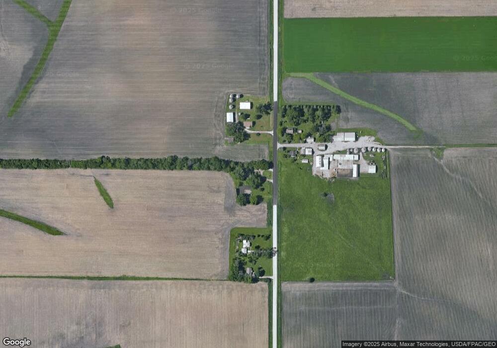
Map
Nearby Homes
- 3355 Logan Ave
- 20+ Acres Corner of Airline and Logan
- 2556 Logan Ave
- 4027 Niles St
- 965 E Donald St
- Lots Lakeside St
- 2133 Logan Ave Unit 1
- 2811 E 4th St
- 1824 Logan Ave
- 657 Sherman Ave
- 2727 E 4th St
- 626 Boston Ave
- 617 Boston Ave
- 3643 Schenk Rd
- 1710 Logan Ave
- 503 W Dale St
- 427 Hope Ave
- 2421 E 4th St
- 303 E Arlington St
- 523 Cutler St
- 2 Moline Rd
- 3643 Moline Rd
- 3517 Moline Rd
- 3501 Moline Rd
- 3612 Moline Rd Unit 3628
- 3111 W Airline Hwy Unit 4
- 3111 W Airline Hwy Unit 5
- 3111 W Airline Hwy Unit 3
- 3111 W Airline Hwy Unit 2
- 3210 Moline Rd
- 843 E Big Rock Rd
- 909 E Big Rock Rd
- 660 E Big Rock Rd
- 641 E Big Rock Rd
- 4136 Moline Rd
- 801 E Airline Hwy
- 930 E Airline Hwy
- 641 E Airline Hwy
- 732 E Airline Hwy Unit 740
- 547 E Airline Hwy
Your Personal Tour Guide
Ask me questions while you tour the home.