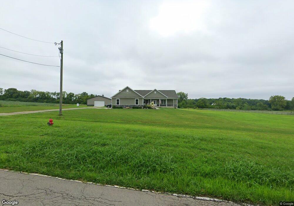
3546 Beal Rd Franklin, OH 45005
Estimated Value: $369,000 - $709,087
3
Beds
3
Baths
2,296
Sq Ft
$213/Sq Ft
Est. Value
About This Home
This home is located at 3546 Beal Rd, Franklin, OH 45005 and is currently estimated at $488,772, approximately $212 per square foot. 3546 Beal Rd is a home with nearby schools including Franklin High School.
Ownership History
Date
Name
Owned For
Owner Type
Purchase Details
Closed on
Aug 18, 2017
Sold by
Skujins Laura B and Skujins Romans
Bought by
Bower Charles R and Bower Kristin N
Current Estimated Value
Home Financials for this Owner
Home Financials are based on the most recent Mortgage that was taken out on this home.
Original Mortgage
$351,500
Outstanding Balance
$290,477
Interest Rate
3.96%
Mortgage Type
Purchase Money Mortgage
Estimated Equity
$198,295
Purchase Details
Closed on
Jul 29, 2016
Sold by
Flores Eber T
Bought by
Skujins Laura B and Skujins Romans
Purchase Details
Closed on
Oct 30, 2014
Sold by
Harvest Associates Ltd
Bought by
Harvest Associates Ltd
Create a Home Valuation Report for This Property
The Home Valuation Report is an in-depth analysis detailing your home's value as well as a comparison with similar homes in the area
Home Values in the Area
Average Home Value in this Area
Purchase History
| Date | Buyer | Sale Price | Title Company |
|---|---|---|---|
| Bower Charles R | -- | None Available | |
| Skujins Laura B | $83,000 | Attorney | |
| Harvest Associates Ltd | -- | None Available |
Source: Public Records
Mortgage History
| Date | Status | Borrower | Loan Amount |
|---|---|---|---|
| Open | Bower Charles R | $351,500 |
Source: Public Records
Tax History
| Year | Tax Paid | Tax Assessment Tax Assessment Total Assessment is a certain percentage of the fair market value that is determined by local assessors to be the total taxable value of land and additions on the property. | Land | Improvement |
|---|---|---|---|---|
| 2025 | $8,387 | $189,840 | $53,670 | $136,170 |
| 2024 | $8,387 | $189,840 | $53,670 | $136,170 |
| 2023 | $7,568 | $154,371 | $33,806 | $120,564 |
| 2022 | $6,599 | $137,799 | $33,807 | $103,992 |
| 2021 | $6,343 | $137,799 | $33,807 | $103,992 |
| 2020 | $5,860 | $112,032 | $27,486 | $84,546 |
| 2019 | $4,606 | $97,276 | $21,186 | $76,090 |
| 2018 | $4,604 | $97,276 | $21,186 | $76,090 |
| 2017 | $459 | $8,827 | $8,827 | $0 |
| 2016 | $292 | $0 | $0 | $0 |
| 2015 | $292 | $0 | $0 | $0 |
| 2014 | $761 | $0 | $0 | $0 |
Source: Public Records
Map
Nearby Homes
- 6 Beal Rd
- 4100 Beal Rd
- 3574 Mclean Rd
- 5604 Ohio 123
- 5604 State Route 123
- 31 Sprucewood Ct
- 29 Louise Dr
- 5265 Robinson Vail Rd
- 45 Libby Hollow St
- 6510 State Route 123
- 6510 Ohio 123
- 5291 Weidner Rd
- 79 Glasgow St
- 79 Glasgow St Unit 40
- 45 Copperhead Trail
- 25 Copperhead Trail
- 15 Wadestone Ln
- 25 Morris St
- 25 Morris St Unit 13
- 140 Dan Haven Place
Your Personal Tour Guide
Ask me questions while you tour the home.