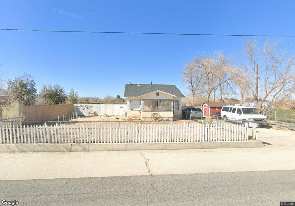
35463 82nd St E Littlerock, CA 93543
Estimated Value: $222,104 - $362,000
2
Beds
1
Bath
720
Sq Ft
$389/Sq Ft
Est. Value
About This Home
This home is located at 35463 82nd St E, Littlerock, CA 93543 and is currently estimated at $279,776, approximately $388 per square foot. 35463 82nd St E is a home located in Los Angeles County with nearby schools including Alpine Elementary School, Keppel Academy, and Littlerock High School.
Ownership History
Date
Name
Owned For
Owner Type
Purchase Details
Closed on
Apr 23, 2012
Sold by
Bones Jack Stuart and The Jack Stuart Bones Sr Trust
Bought by
Peters Barbara A
Current Estimated Value
Purchase Details
Closed on
Mar 11, 2011
Sold by
Bones Jack Stuart
Bought by
Peters Barbara Ann
Purchase Details
Closed on
Jun 26, 2000
Sold by
Bones Jack S
Bought by
Bones Jack Stuart and The Jack Stuart Bones Sr Trust
Purchase Details
Closed on
Jun 24, 2000
Sold by
Western Star Propane Inc
Bought by
Bones Jack S
Create a Home Valuation Report for This Property
The Home Valuation Report is an in-depth analysis detailing your home's value as well as a comparison with similar homes in the area
Home Values in the Area
Average Home Value in this Area
Purchase History
| Date | Buyer | Sale Price | Title Company |
|---|---|---|---|
| Peters Barbara A | -- | None Available | |
| Peters Barbara Ann | -- | None Available | |
| Bones Jack Stuart | -- | -- | |
| Bones Jack S | $42,500 | -- |
Source: Public Records
Tax History
| Year | Tax Paid | Tax Assessment Tax Assessment Total Assessment is a certain percentage of the fair market value that is determined by local assessors to be the total taxable value of land and additions on the property. | Land | Improvement |
|---|---|---|---|---|
| 2025 | $498 | $29,911 | $17,602 | $12,309 |
| 2024 | $498 | $29,325 | $17,257 | $12,068 |
| 2023 | $489 | $28,751 | $16,919 | $11,832 |
| 2022 | $481 | $28,188 | $16,588 | $11,600 |
| 2021 | $468 | $27,636 | $16,263 | $11,373 |
| 2019 | $451 | $26,819 | $15,782 | $11,037 |
| 2018 | $451 | $26,294 | $15,473 | $10,821 |
| 2016 | $421 | $25,274 | $14,873 | $10,401 |
| 2015 | $416 | $24,895 | $14,650 | $10,245 |
| 2014 | $425 | $24,409 | $14,364 | $10,045 |
Source: Public Records
Map
Nearby Homes
- 0 82nd St East & Pearblossom St
- 0 96th and T8 Unit 25000125
- 92 St. Pearblossom Hwy
- 10707 Pearblossom Hwy
- 0 E St Unit 24009355
- 7812 Pearblossom Hwy
- 7800 Pearblossom Hwy
- 8703 87th St E
- 8733 E Avenue U
- 0 87th St E
- 8806 E Avenue t14
- 0 Vac Ave R12 Vic 145th Ste Unit SR26041411
- 0 E 92nd Ste Vic Ave U
- 0 75th St E Unit SR24238921
- 0 75th St E Unit 26000867
- 0 82nd St East & Pearblossom Hwy
- 0 82nd St E
- 0 Pearblossom Hwy 89th St E
- 0 Pearblossom Hwy Unit SR24230632
- 0 Pearblossom Hwy Unit 26000881
- 0 VAC/82 82nd St E
- 35531 82nd St E
- 8140 E Avenue U
- 8150 E Avenue U
- 35410 82nd St E
- 8124 E Avenue U
- 8262 E Avenue U
- 8106 E Avenue U
- 35400 82nd St E
- 0 82nd St Barrel Unit SR15182634
- 0 82nd St Barrel Unit SR15024528
- 35363 82nd St E
- 8159 E Avenue U
- 8151 E Avenue U
- 8137 E Avenue U
- 8145 E Avenue U
- 8050 E Avenue U
- 35616 82nd St E
- 35625 82nd St E
- 35436 80th St E
Your Personal Tour Guide
Ask me questions while you tour the home.