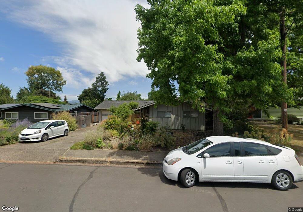
3551 High St Eugene, OR 97405
Southeast Eugene NeighborhoodEstimated Value: $488,000 - $544,000
3
Beds
2
Baths
1,613
Sq Ft
$317/Sq Ft
Est. Value
About This Home
This home is located at 3551 High St, Eugene, OR 97405 and is currently estimated at $511,689, approximately $317 per square foot. 3551 High St is a home located in Lane County with nearby schools including Camas Ridge Community Elementary School, Spencer Butte Middle School, and South Eugene High School.
Ownership History
Date
Name
Owned For
Owner Type
Purchase Details
Closed on
May 6, 2005
Sold by
National Residential Nominee Svcs Inc
Bought by
Green David M and Green Joan S
Current Estimated Value
Home Financials for this Owner
Home Financials are based on the most recent Mortgage that was taken out on this home.
Original Mortgage
$184,800
Outstanding Balance
$96,222
Interest Rate
6.02%
Mortgage Type
Fannie Mae Freddie Mac
Estimated Equity
$415,467
Purchase Details
Closed on
Apr 20, 2005
Sold by
Dale Robert Y and Dale Melanie J
Bought by
National Residential Nominee Svcs Inc
Home Financials for this Owner
Home Financials are based on the most recent Mortgage that was taken out on this home.
Original Mortgage
$184,800
Outstanding Balance
$96,222
Interest Rate
6.02%
Mortgage Type
Fannie Mae Freddie Mac
Estimated Equity
$415,467
Create a Home Valuation Report for This Property
The Home Valuation Report is an in-depth analysis detailing your home's value as well as a comparison with similar homes in the area
Home Values in the Area
Average Home Value in this Area
Purchase History
| Date | Buyer | Sale Price | Title Company |
|---|---|---|---|
| Green David M | $231,000 | Fidelity National Title Insu | |
| National Residential Nominee Svcs Inc | $231,000 | Fidelity National Title Insu |
Source: Public Records
Mortgage History
| Date | Status | Borrower | Loan Amount |
|---|---|---|---|
| Open | Green David M | $184,800 |
Source: Public Records
Tax History
| Year | Tax Paid | Tax Assessment Tax Assessment Total Assessment is a certain percentage of the fair market value that is determined by local assessors to be the total taxable value of land and additions on the property. | Land | Improvement |
|---|---|---|---|---|
| 2025 | $4,539 | $232,948 | -- | -- |
| 2024 | $4,482 | $226,164 | -- | -- |
| 2023 | $4,482 | $219,577 | $0 | $0 |
| 2022 | $4,006 | $203,362 | $0 | $0 |
| 2021 | $3,762 | $197,439 | $0 | $0 |
| 2020 | $3,776 | $191,689 | $0 | $0 |
| 2019 | $3,646 | $186,106 | $0 | $0 |
| 2018 | $3,432 | $175,423 | $0 | $0 |
| 2017 | $3,279 | $175,423 | $0 | $0 |
| 2016 | $3,197 | $170,314 | $0 | $0 |
| 2015 | $3,106 | $165,353 | $0 | $0 |
| 2014 | $3,034 | $160,537 | $0 | $0 |
Source: Public Records
Map
Nearby Homes
- 555 Stafford Ct
- 585 E 36th Ave
- 0 E 39th Ave
- 275 E 39th Ave
- 434 E 39th Ave
- 310 1/2 E 31st Ave Unit 1
- 790 E 32nd Ave
- 4023 Donald St Unit K
- 75 W 35th Place
- 170 E 40th Ave
- 3023 Hummingbird Ln
- 3031 Hummingbird Ln
- 1180 E 37th Ave
- 4295 Ferry St
- 4320 Fox Hollow Rd
- 3392 Onyx Place
- 3605 Emerald St
- 1210 E 38th Ave
- 3790 Onyx St
- 910 E 43rd Ave
Your Personal Tour Guide
Ask me questions while you tour the home.