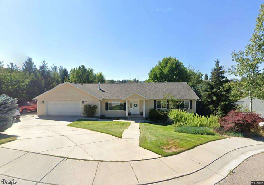
3551 Mikes Way Missoula, MT 59803
Miller Creek NeighborhoodEstimated Value: $750,616 - $807,000
4
Beds
4
Baths
1,808
Sq Ft
$429/Sq Ft
Est. Value
About This Home
This home is located at 3551 Mikes Way, Missoula, MT 59803 and is currently estimated at $776,205, approximately $429 per square foot. 3551 Mikes Way is a home located in Missoula County with nearby schools including Jeannette Rankin Elementary School, Meadow Hill Middle School, and Sentinel High School.
Ownership History
Date
Name
Owned For
Owner Type
Purchase Details
Closed on
Oct 16, 2002
Sold by
Deaton Travis R and Deaton Wendy S
Bought by
Deaton Travis R and Deaton Wendy S
Current Estimated Value
Home Financials for this Owner
Home Financials are based on the most recent Mortgage that was taken out on this home.
Original Mortgage
$133,800
Interest Rate
6.05%
Create a Home Valuation Report for This Property
The Home Valuation Report is an in-depth analysis detailing your home's value as well as a comparison with similar homes in the area
Home Values in the Area
Average Home Value in this Area
Purchase History
| Date | Buyer | Sale Price | Title Company |
|---|---|---|---|
| Deaton Travis R | -- | -- |
Source: Public Records
Mortgage History
| Date | Status | Borrower | Loan Amount |
|---|---|---|---|
| Closed | Deaton Travis R | $133,800 | |
| Closed | Deaton Travis R | $23,000 |
Source: Public Records
Tax History Compared to Growth
Tax History
| Year | Tax Paid | Tax Assessment Tax Assessment Total Assessment is a certain percentage of the fair market value that is determined by local assessors to be the total taxable value of land and additions on the property. | Land | Improvement |
|---|---|---|---|---|
| 2025 | $7,128 | $704,900 | $113,602 | $591,298 |
| 2024 | $6,800 | $597,000 | $93,501 | $503,499 |
| 2023 | $6,565 | $597,000 | $93,501 | $503,499 |
| 2022 | $5,481 | $430,100 | $0 | $0 |
| 2021 | $5,000 | $430,100 | $0 | $0 |
| 2020 | $4,916 | $391,300 | $0 | $0 |
| 2019 | $4,903 | $391,300 | $0 | $0 |
| 2018 | $4,771 | $369,600 | $0 | $0 |
| 2017 | $4,692 | $369,600 | $0 | $0 |
| 2016 | $3,921 | $324,500 | $0 | $0 |
| 2015 | $3,613 | $324,500 | $0 | $0 |
| 2014 | $3,418 | $171,826 | $0 | $0 |
Source: Public Records
Map
Nearby Homes
- 6610 Justin Ct
- 5065 Jeff Dr
- 6275 Marias St
- 6915 Shaver Dr
- 4060 Jamie Ann Ln
- 4863 Scott Allen Dr
- 6240 St Thomas Dr
- 7006 Max Dr
- 6225 St Thomas Dr
- 2537 Drake Ln
- 7206 Shaver Dr
- 6994 Shaver Dr
- 7003 Jenaya Ct
- 3495 Loraine Dr
- 7022 Max Dr
- 6650 Linda Vista Blvd
- Linda Vista Blvd Linda Vista Blvd
- 6350 S Meadowwood Ln
- 7044 Guinevere Dr
- 7037 Max Dr
- 3571 Mikes Way
- 3547 Mikes Way
- 3554 Mikes Way
- 3522 Brandon Way
- 3542 Mikes Way
- 3542 Mike''S Way
- 6618 Southpointe Ct
- 3596 Brandon Way
- 3530 Mikes Way
- 3608 Brandon Way
- 6625 Southpointe Ct
- 3582 Brandon Way
- 3536 Brandon Way
- 3545 Southpointe Dr
- 3556 Brandon Way
- 6615 Southpointe Ct
- 3555 Southpointe Dr
- 3565 Southpointe Dr
- 3618 Brandon Way
- 3537 Southpointe Dr