Estimated Value: $669,000 - $970,000
3
Beds
3
Baths
4,187
Sq Ft
$202/Sq Ft
Est. Value
About This Home
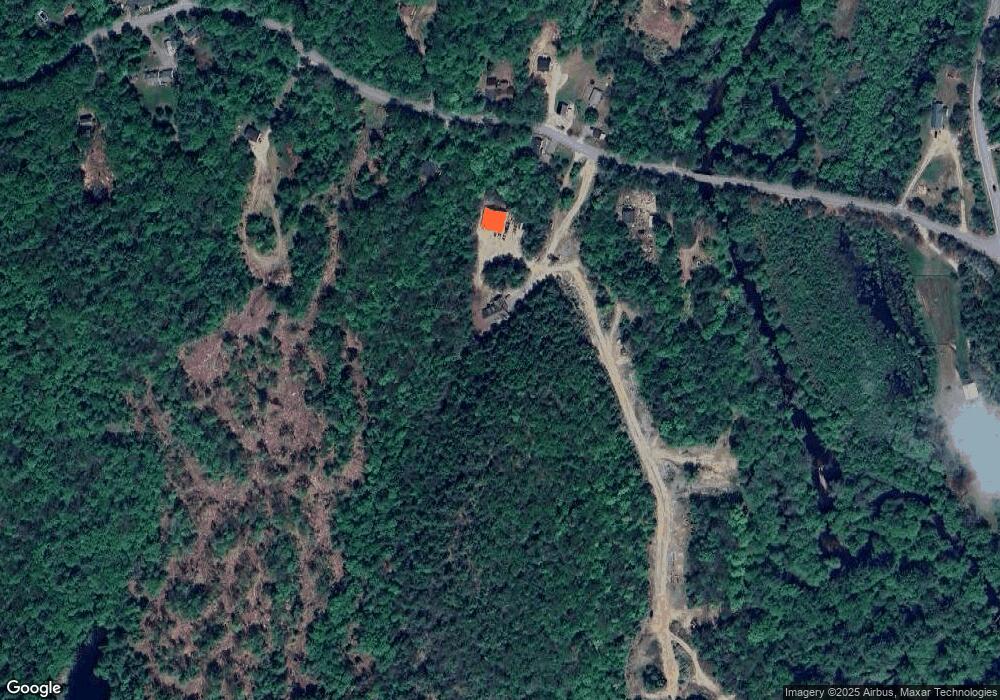
This home is located at 356 Colby Rd, Weare, NH 03281 and is currently estimated at $845,522, approximately $201 per square foot. 356 Colby Rd is a home with nearby schools including Center Woods Elementary School, Weare Middle School, and John Stark Regional High School.
Create a Home Valuation Report for This Property
The Home Valuation Report is an in-depth analysis detailing your home's value as well as a comparison with similar homes in the area
Home Values in the Area
Average Home Value in this Area
Tax History Compared to Growth
Tax History
| Year | Tax Paid | Tax Assessment Tax Assessment Total Assessment is a certain percentage of the fair market value that is determined by local assessors to be the total taxable value of land and additions on the property. | Land | Improvement |
|---|---|---|---|---|
| 2024 | $13,439 | $659,120 | $122,920 | $536,200 |
| 2023 | $12,419 | $659,161 | $122,961 | $536,200 |
| 2022 | $11,469 | $659,161 | $122,961 | $536,200 |
| 2021 | $10,847 | $630,662 | $122,962 | $507,700 |
| 2020 | $10,110 | $422,137 | $88,237 | $333,900 |
| 2019 | $10,009 | $422,137 | $88,237 | $333,900 |
| 2018 | $9,722 | $422,142 | $88,242 | $333,900 |
| 2016 | $9,443 | $422,138 | $88,238 | $333,900 |
| 2015 | $9,207 | $410,828 | $88,228 | $322,600 |
| 2014 | $9,125 | $410,832 | $88,232 | $322,600 |
| 2013 | $8,810 | $405,036 | $93,600 | $311,436 |
Source: Public Records
Map
Nearby Homes
- 174 S Stark Hwy Unit 13
- 174 S Stark Hwy Unit 1
- 174 S Stark Hwy Unit 23
- 93 Daniels Rd
- 77 Gould Rd
- 103 Renshaw Rd
- 624 S Stark Hwy
- 3 Stephanie Rd
- 88 Saunders Rd
- 95 Wright Dr
- 22 Fairway Dr
- 849 River Rd
- 0 Fairway Dr Unit 11
- 450 Weare Rd
- 179 Oak Hill Rd
- 34 Lull Rd
- 342 Weare Rd
- 0 Huntington Hill Rd Unit 69
- 16 Palmer Rd
- 196 Deering Center Rd