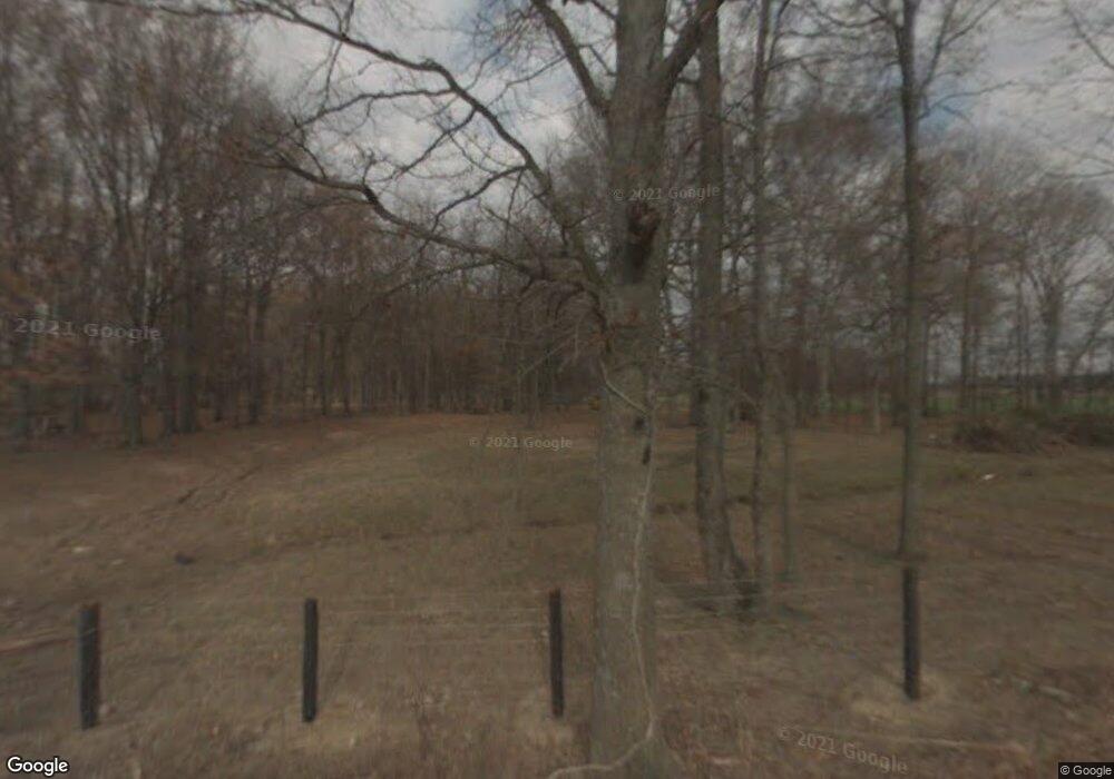
356 Joe Taylor Ln Decherd, TN 37324
Estimated Value: $194,000 - $1,480,000
--
Bed
1
Bath
1,044
Sq Ft
$970/Sq Ft
Est. Value
About This Home
This home is located at 356 Joe Taylor Ln, Decherd, TN 37324 and is currently estimated at $1,013,148, approximately $970 per square foot. 356 Joe Taylor Ln is a home located in Franklin County with nearby schools including North Middle School and Franklin County High School.
Ownership History
Date
Name
Owned For
Owner Type
Purchase Details
Closed on
Feb 2, 2023
Sold by
Jones Reba L
Bought by
Matlock Reba L and Jones Reba L
Current Estimated Value
Purchase Details
Closed on
Feb 15, 2007
Sold by
Woodall David Alden
Bought by
Woodall Bobby Lynn
Purchase Details
Closed on
Aug 19, 1997
Sold by
Conrad John A
Bought by
Barrett Russell K and Barrett Reita
Purchase Details
Closed on
Apr 1, 1996
Sold by
Woodall Alden
Bought by
Conrad John A
Purchase Details
Closed on
Dec 7, 1971
Bought by
Woodall Alden
Purchase Details
Closed on
Jan 25, 1968
Create a Home Valuation Report for This Property
The Home Valuation Report is an in-depth analysis detailing your home's value as well as a comparison with similar homes in the area
Home Values in the Area
Average Home Value in this Area
Purchase History
| Date | Buyer | Sale Price | Title Company |
|---|---|---|---|
| Matlock Reba L | $780,000 | -- | |
| Woodall Bobby Lynn | $609,560 | -- | |
| Barrett Russell K | $3,375 | -- | |
| Conrad John A | $6,000 | -- | |
| Woodall Alden | -- | -- | |
| -- | -- | -- |
Source: Public Records
Tax History Compared to Growth
Tax History
| Year | Tax Paid | Tax Assessment Tax Assessment Total Assessment is a certain percentage of the fair market value that is determined by local assessors to be the total taxable value of land and additions on the property. | Land | Improvement |
|---|---|---|---|---|
| 2024 | $2,150 | $107,750 | $81,525 | $26,225 |
| 2023 | $2,150 | $107,750 | $81,525 | $26,225 |
| 2022 | $2,021 | $107,750 | $81,525 | $26,225 |
| 2021 | $2,217 | $107,750 | $81,525 | $26,225 |
| 2020 | $2,217 | $77,025 | $63,925 | $13,100 |
| 2019 | $2,217 | $77,025 | $63,925 | $13,100 |
| 2018 | $2,081 | $77,825 | $63,925 | $13,900 |
| 2017 | $2,081 | $77,825 | $63,925 | $13,900 |
| 2016 | $1,799 | $67,300 | $55,025 | $12,275 |
| 2015 | $1,799 | $67,300 | $55,025 | $12,275 |
| 2014 | $1,800 | $67,316 | $0 | $0 |
Source: Public Records
Map
Nearby Homes
- 537 Isbell Ln
- 4630 Greenhaw Rd
- 296 Penile Dr
- 150 N Fork Branch Rd
- 0 Blue Springs Road Tract 5
- 289 Mimosa Dr
- 0 Blue Springs Road Tract 2&3 Unit RTC2964014
- 1510 Penile Hill Rd
- 42 Bartow St
- 41 Bartow St
- 21 Bartow St
- 22 Bartow St
- 0 Blue Springs Rd
- 54 Legacy St
- 2864 Old Alto Hwy
- 2846 Old Alto Hwy
- 2828 Old Alto Hwy
- 2808 Old Alto Hwy
- 599 Mimosa Dr
- 26 Mimosa Dr
- 184 Mantooth Rd
- 25 Mantooth Rd
- 2248 Warren Chapel Rd
- 2426 Warren Chapel Rd
- 1946 Warren Chapel Rd
- 2750 Warren Chapel Rd
- 2845 Warren Chapel Rd
- 0 Isbell Ln
- 557 Woodall Rd
- 5357 Greenhaw Rd
- 105 Payne Ln
- 5185 Greenhaw Rd
- 5627 Greenhaw Rd
- 2948 Warren Chapel Rd
- 118 Woodall Rd
- 5430 Greenhaw Rd
- 281 Bass Rd
- 0 Bass Rd
- 130 Isbell Ln
- 5250 Greenhaw Rd
