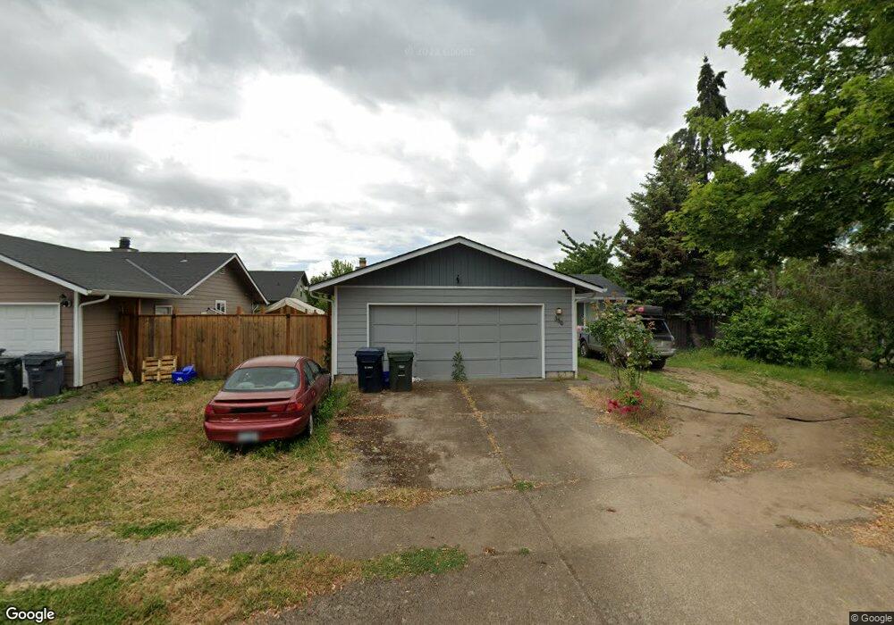
356 Mira Ct Eugene, OR 97402
Bethel NeighborhoodEstimated Value: $334,000 - $357,000
3
Beds
1
Bath
1,045
Sq Ft
$336/Sq Ft
Est. Value
About This Home
This home is located at 356 Mira Ct, Eugene, OR 97402 and is currently estimated at $351,124, approximately $336 per square foot. 356 Mira Ct is a home located in Lane County with nearby schools including Fairfield Elementary School, Cascade Middle School, and Willamette High School.
Ownership History
Date
Name
Owned For
Owner Type
Purchase Details
Closed on
Jun 15, 2004
Sold by
Harward Kaly Frank and Harward Laura Jeanne
Bought by
Wynveen Mollie F
Current Estimated Value
Home Financials for this Owner
Home Financials are based on the most recent Mortgage that was taken out on this home.
Original Mortgage
$128,700
Outstanding Balance
$63,758
Interest Rate
6.31%
Mortgage Type
Purchase Money Mortgage
Estimated Equity
$287,366
Purchase Details
Closed on
Mar 4, 1998
Sold by
Shepard Properties Llc
Bought by
Shepard Charles N
Create a Home Valuation Report for This Property
The Home Valuation Report is an in-depth analysis detailing your home's value as well as a comparison with similar homes in the area
Home Values in the Area
Average Home Value in this Area
Purchase History
| Date | Buyer | Sale Price | Title Company |
|---|---|---|---|
| Wynveen Mollie F | $128,700 | Western Title & Escrow Co | |
| Shepard Charles N | $280,000 | Title Guaranty Company |
Source: Public Records
Mortgage History
| Date | Status | Borrower | Loan Amount |
|---|---|---|---|
| Open | Wynveen Mollie F | $128,700 |
Source: Public Records
Tax History Compared to Growth
Tax History
| Year | Tax Paid | Tax Assessment Tax Assessment Total Assessment is a certain percentage of the fair market value that is determined by local assessors to be the total taxable value of land and additions on the property. | Land | Improvement |
|---|---|---|---|---|
| 2025 | $2,831 | $162,732 | -- | -- |
| 2024 | $2,759 | $157,993 | -- | -- |
| 2023 | $2,759 | $153,392 | $0 | $0 |
| 2022 | $2,569 | $148,925 | $0 | $0 |
| 2021 | $2,514 | $144,588 | $0 | $0 |
| 2020 | $2,441 | $140,377 | $0 | $0 |
| 2019 | $2,321 | $136,289 | $0 | $0 |
| 2018 | $2,256 | $128,466 | $0 | $0 |
| 2017 | $2,156 | $128,466 | $0 | $0 |
| 2016 | $2,101 | $124,724 | $0 | $0 |
| 2015 | $2,060 | $121,091 | $0 | $0 |
| 2014 | $2,028 | $117,564 | $0 | $0 |
Source: Public Records
Map
Nearby Homes
- 3939 Cross St
- 338 Archie St
- 4165 Wood Ave
- 795 Red Cedar Ct
- 627 Archie St
- 712 Nebraska St
- 3520 Elmira Rd
- 4055 Royal Ave Unit 24
- 4055 Royal Ave Unit 107
- 4055 Royal Ave Unit 150
- 4055 Royal Ave Unit 90
- 4055 Royal Ave Unit 69
- 4055 Royal Ave Unit 87
- 4055 Royal Ave Unit 133
- 4462 Fergus Ave
- 0 Elmira Rd
- 3970 Marshall Ave
- 1219 Taney St
- 1215 Ellsworth St
- 1219 Waite St