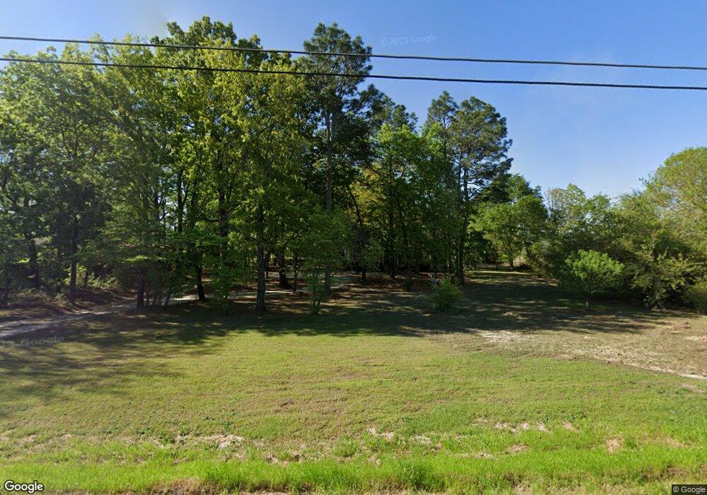
3560 Rockfish Rd Raeford, NC 28376
Estimated Value: $103,000 - $243,000
--
Bed
1
Bath
1,344
Sq Ft
$148/Sq Ft
Est. Value
About This Home
This home is located at 3560 Rockfish Rd, Raeford, NC 28376 and is currently estimated at $198,584, approximately $147 per square foot. 3560 Rockfish Rd is a home located in Hoke County with nearby schools including Scurlock Elementary School, Sandy Grove Middle School, and Hoke County High.
Ownership History
Date
Name
Owned For
Owner Type
Purchase Details
Closed on
May 6, 2024
Sold by
Jones Ronald Howard and Jones Elizabeth Mcbride
Bought by
Hendrix Brothers Of Hoke Llc
Current Estimated Value
Purchase Details
Closed on
Apr 30, 2012
Sold by
Lone Wolfe Invesments Llc
Bought by
Jones Ronald H and Jones Elizabeth Mcbride
Create a Home Valuation Report for This Property
The Home Valuation Report is an in-depth analysis detailing your home's value as well as a comparison with similar homes in the area
Home Values in the Area
Average Home Value in this Area
Purchase History
| Date | Buyer | Sale Price | Title Company |
|---|---|---|---|
| Hendrix Brothers Of Hoke Llc | $5,000 | Key Title | |
| Jones Ronald H | -- | None Available |
Source: Public Records
Tax History Compared to Growth
Tax History
| Year | Tax Paid | Tax Assessment Tax Assessment Total Assessment is a certain percentage of the fair market value that is determined by local assessors to be the total taxable value of land and additions on the property. | Land | Improvement |
|---|---|---|---|---|
| 2025 | $1,063 | $115,150 | $32,690 | $82,460 |
| 2024 | $1,061 | $114,960 | $32,500 | $82,460 |
| 2023 | $1,061 | $114,960 | $32,500 | $82,460 |
| 2022 | $1,043 | $114,960 | $32,500 | $82,460 |
| 2021 | $988 | $105,470 | $24,650 | $80,820 |
| 2020 | $1,003 | $105,470 | $24,650 | $80,820 |
| 2019 | $1,003 | $105,470 | $24,650 | $80,820 |
| 2018 | $1,003 | $105,470 | $24,650 | $80,820 |
| 2017 | $1,003 | $105,470 | $24,650 | $80,820 |
| 2016 | $986 | $105,470 | $24,650 | $80,820 |
| 2015 | $986 | $105,470 | $24,650 | $80,820 |
| 2014 | $964 | $105,470 | $24,650 | $80,820 |
| 2013 | -- | $97,120 | $20,300 | $76,820 |
Source: Public Records
Map
Nearby Homes
- 144 Hornet (Lot 47) Dr
- 133 Hornet Dr
- 212 Cobra Ln
- 266 Hornet Dr
- 352 Wood Valley Ln
- 136 Bristol Ct
- 120 Ledgebrook Ln
- 115 Besley Ct
- Kent Plan at Wood Lake II
- Topsail Plan at Wood Lake II
- Bellwood Plan at Wood Lake II
- Southport II Plan at Wood Lake II
- 185 Oakmount Dr
- 731 Southerland Peak Dr
- 711 Southerland Peak Rd
- 140 Ironwood Way
- 2911 Rockfish Rd
- 731 Southerland Peak (Lot 45) Dr
- TBD Lot 2 Rockfish Rd
- 0 Rockfish Rd Unit 745922
- 104 Markus Place Dr
- 129 Chinook Ln
- 102 Markus Place Dr
- 171 Chinook Ln
- 106 Markus Place Dr
- 117 Chinook Ln
- 142 Chinook Ln
- 108 Markus Place Dr
- 130 Chinook Ln
- TBD Hornet (Lot 71) Dr
- TBD Hornet (Lot 61) Dr
- TBD Hornet (Lot 59) Dr
- TBD Hornet (Lot 55) Dr
- TBD Hornet (Lot 54) Dr
- TBD Hornet (Lot 64) Dr
- TBD Hornet (Lot 63) Dr
- TBD Hornet (Lot 62) Dr
- 118 Chinook Ln
- 3630 Rockfish Rd
- 186 Cobra (Lot 36) Ln
