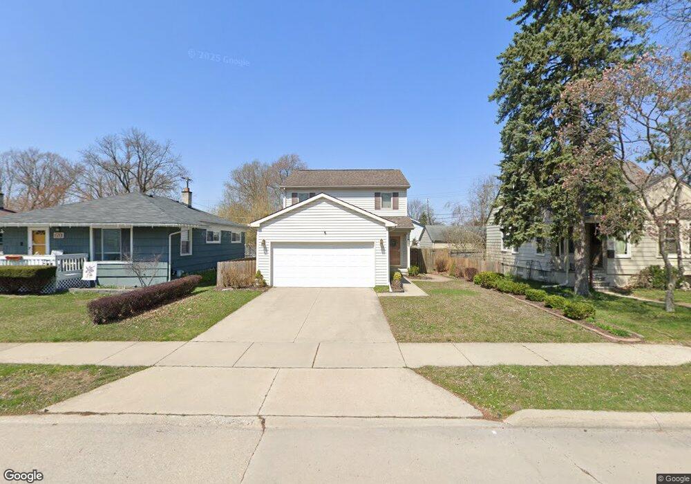
357 E Baker Ave Clawson, MI 48017
Estimated Value: $367,000 - $413,971
About This Home
This home is located at 357 E Baker Ave, Clawson, MI 48017 and is currently estimated at $387,993, approximately $260 per square foot. 357 E Baker Ave is a home located in Oakland County with nearby schools including Clawson Middle School, Clawson High School, and Guardian Angels School.
Ownership History
We collect this data history from publicly available records. To have your information removed, we recommend requesting removal directly through your county’s website.
Purchase Details
Purchase Details
Home Financials for this Owner
Home Financials are based on the most recent Mortgage that was taken out on this home.Purchase Details
Purchase Details
Purchase Details
Home Values in the Area
Average Home Value in this Area
Purchase History
We collect this data history from publicly available records. To have your information removed, we recommend requesting removal directly through your county’s website.
| Date | Buyer | Sale Price | Title Company |
|---|---|---|---|
| -- | Land Title | ||
| -- | Land Title | ||
| $215,000 | Interstate Title Inc | ||
| $50,000 | Great Lakes Title Michigan | ||
| -- | -- | ||
| -- | -- |
Mortgage History
We collect this data history from publicly available records. To have your information removed, we recommend requesting removal directly through your county’s website.
| Date | Status | Borrower | Loan Amount |
|---|---|---|---|
| Previous Owner | $25,001 | ||
| Previous Owner | $168,500 |
Tax History
We collect this data history from publicly available records. To have your information removed, we recommend requesting removal directly through your county’s website.
| Year | Tax Paid | Tax Assessment Tax Assessment Total Assessment is a certain percentage of the fair market value that is determined by local assessors to be the total taxable value of land and additions on the property. | Land | Improvement |
|---|---|---|---|---|
| 2025 | $4,360 | $193,690 | $0 | $0 |
| 2024 | $4,079 | $181,880 | $0 | $0 |
| 2023 | $3,910 | $169,610 | $0 | $0 |
| 2022 | $3,941 | $153,850 | $0 | $0 |
| 2021 | $3,861 | $146,770 | $0 | $0 |
| 2020 | $3,740 | $142,060 | $0 | $0 |
| 2019 | $3,865 | $136,720 | $0 | $0 |
| 2018 | $3,837 | $125,780 | $0 | $0 |
| 2017 | $3,814 | $119,670 | $0 | $0 |
| 2016 | $3,856 | $112,590 | $0 | $0 |
| 2015 | -- | $104,150 | $0 | $0 |
| 2014 | -- | $88,600 | $0 | $0 |
| 2011 | -- | $75,870 | $0 | $0 |
Map
- 917 Kenwood St
- 911 Kenwood St
- 909 Kenwood St
- 918 Kenwood St
- 579 E Baker Ave
- 569 Hendrickson Blvd
- 495 Lincoln Ave
- 53 Highland Ave
- 68 Highland Ave
- 65 W Elmwood Ave
- 629 Bowers St
- 865 Grant Ave
- 487 N Washington Ave
- 264 Phillips Ave
- 1090 Rochester Rd
- 61 Madison Ave
- 915 E 14 Mile Rd
- 104 Leroy Ave
- 1040 Goodale Ave
- 56 Charlevoix St
Ask me questions while you tour the home.