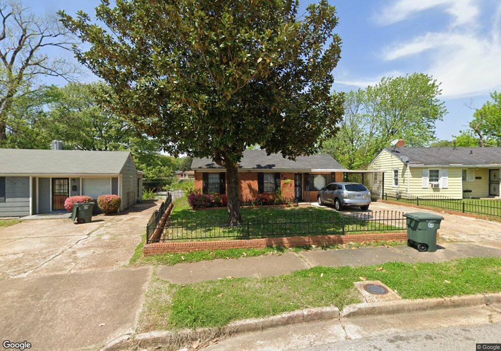
3571 Lanette Rd Memphis, TN 38109
Westwood NeighborhoodEstimated Value: $64,000 - $98,000
4
Beds
2
Baths
1,382
Sq Ft
$64/Sq Ft
Est. Value
About This Home
This home is located at 3571 Lanette Rd, Memphis, TN 38109 and is currently estimated at $87,856, approximately $63 per square foot. 3571 Lanette Rd is a home located in Shelby County with nearby schools including Ford Road Elementary School, Chickasaw Middle School, and Mitchell High School.
Ownership History
Date
Name
Owned For
Owner Type
Purchase Details
Closed on
Dec 13, 2020
Sold by
Thoms Connie Slabert and Slaughter Bobby
Bought by
Slaughter Keisha and Slaughter Bobby
Current Estimated Value
Purchase Details
Closed on
Dec 8, 2020
Sold by
Thompson Connie Slaughter and Slaughter Bobby
Bought by
Slaughter Keisha and Slaughter Bobby
Purchase Details
Closed on
Jun 26, 2007
Sold by
Slaughter Connie
Bought by
Slaughter Connie and Slaughter Bobby
Purchase Details
Closed on
Jun 22, 2007
Sold by
Slaughter Bobby and Slaughter Alberta
Bought by
Slaughter Connie
Create a Home Valuation Report for This Property
The Home Valuation Report is an in-depth analysis detailing your home's value as well as a comparison with similar homes in the area
Home Values in the Area
Average Home Value in this Area
Purchase History
| Date | Buyer | Sale Price | Title Company |
|---|---|---|---|
| Slaughter Keisha | -- | None Available | |
| Slaughter Keisha | -- | Thompson Connie | |
| Slaughter Connie | -- | None Available | |
| Slaughter Connie | -- | None Available |
Source: Public Records
Tax History
| Year | Tax Paid | Tax Assessment Tax Assessment Total Assessment is a certain percentage of the fair market value that is determined by local assessors to be the total taxable value of land and additions on the property. | Land | Improvement |
|---|---|---|---|---|
| 2025 | $574 | $23,225 | $1,500 | $21,725 |
| 2024 | $574 | $16,925 | $1,100 | $15,825 |
| 2023 | $1,031 | $16,925 | $1,100 | $15,825 |
| 2022 | $666 | $10,925 | $1,100 | $9,825 |
| 2021 | $673 | $10,925 | $1,100 | $9,825 |
| 2020 | $712 | $9,825 | $1,100 | $8,725 |
| 2019 | $712 | $9,825 | $1,100 | $8,725 |
| 2018 | $712 | $9,825 | $1,100 | $8,725 |
| 2017 | $404 | $9,825 | $1,100 | $8,725 |
| 2016 | $458 | $10,475 | $0 | $0 |
| 2014 | $458 | $10,475 | $0 | $0 |
Source: Public Records
Map
Nearby Homes
- 3571 Daggett Rd
- 3499 Rochester Rd
- 293 Carbon Rd
- 3461 Daggett Rd
- 364 Elder Rd
- 185 Vernelle Ave
- 386 Elder Rd
- 3509 W Horn Lake Rd
- 220 Elder Rd
- 3679 Glenburee Cove
- 3759 Mccain Rd
- 3368 Old Horn Lake Rd
- 3731 Horn Lake Rd
- 599 Blackhawk Rd
- 3339 Redbud Rd
- 556 Melton Ave
- 3245 Norton Rd
- 10 W Mitchell Rd
- 36 W Emory Rd
- 3677 Bison St
- 3567 Lanette Rd
- 3575 Lanette Rd
- 3563 Lanette Rd
- 3579 Lanette Rd
- 3560 Rochester Rd
- 3566 Rochester Rd
- 3556 Rochester Rd
- 3552 Rochester Rd
- 3570 Rochester Rd
- 3559 Lanette Rd
- 3572 Lanette Rd
- 3566 Lanette Rd
- 3548 Rochester Rd
- 3574 Rochester Rd
- 3587 Lanette Rd
- 3560 Lanette Rd
- 3578 Lanette Rd
- 330 Glencoe Rd
- 3555 Lanette Rd
- 3542 Rochester Rd
Your Personal Tour Guide
Ask me questions while you tour the home.