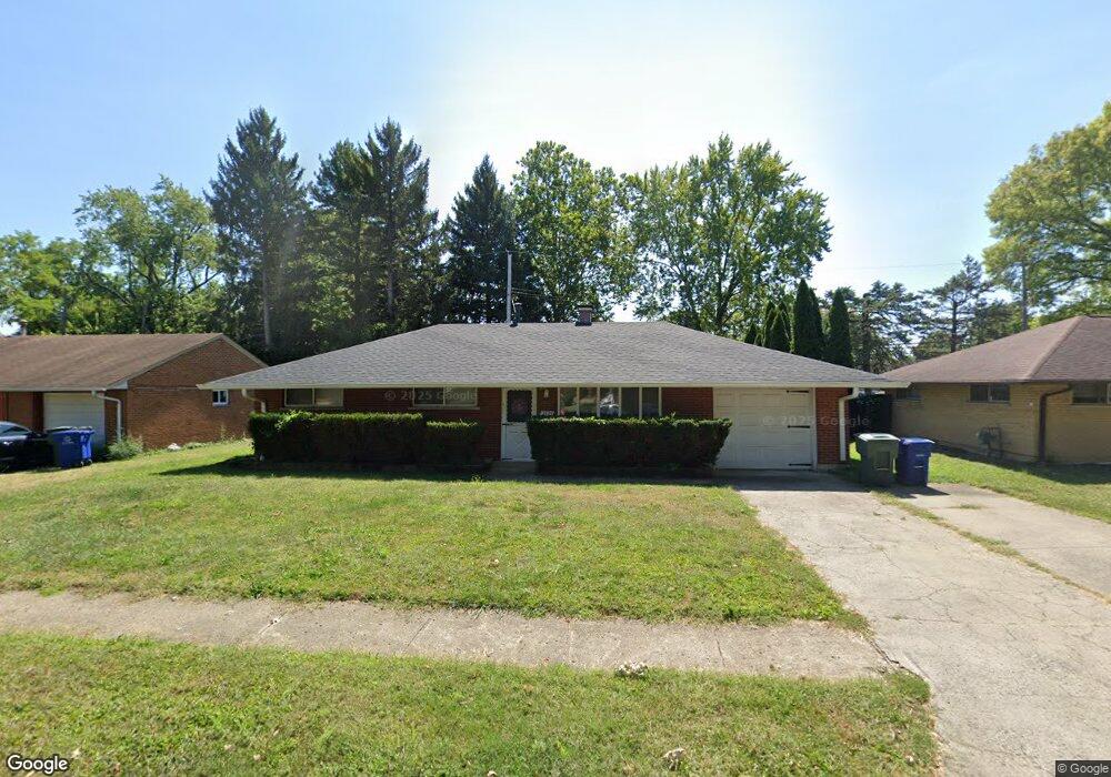
3575 Roswell Dr Columbus, OH 43227
Linwood NeighborhoodEstimated Value: $170,564 - $224,000
3
Beds
2
Baths
1,116
Sq Ft
$182/Sq Ft
Est. Value
About This Home
This home is located at 3575 Roswell Dr, Columbus, OH 43227 and is currently estimated at $203,141, approximately $182 per square foot. 3575 Roswell Dr is a home located in Franklin County with nearby schools including Scottwood Elementary School, Johnson Park Middle School, and Walnut Ridge High School.
Ownership History
Date
Name
Owned For
Owner Type
Purchase Details
Closed on
Aug 29, 1997
Sold by
Wilson Steven M and Wilson Cheryl A
Bought by
Bettis Rochelle C
Current Estimated Value
Home Financials for this Owner
Home Financials are based on the most recent Mortgage that was taken out on this home.
Original Mortgage
$73,393
Outstanding Balance
$9,654
Interest Rate
7.54%
Mortgage Type
FHA
Estimated Equity
$193,487
Purchase Details
Closed on
May 30, 1991
Create a Home Valuation Report for This Property
The Home Valuation Report is an in-depth analysis detailing your home's value as well as a comparison with similar homes in the area
Home Values in the Area
Average Home Value in this Area
Purchase History
| Date | Buyer | Sale Price | Title Company |
|---|---|---|---|
| Bettis Rochelle C | $73,500 | -- | |
| -- | $60,000 | -- |
Source: Public Records
Mortgage History
| Date | Status | Borrower | Loan Amount |
|---|---|---|---|
| Open | Bettis Rochelle C | $73,393 |
Source: Public Records
Tax History
| Year | Tax Paid | Tax Assessment Tax Assessment Total Assessment is a certain percentage of the fair market value that is determined by local assessors to be the total taxable value of land and additions on the property. | Land | Improvement |
|---|---|---|---|---|
| 2025 | $2,488 | $55,440 | $13,860 | $41,580 |
| 2024 | $2,488 | $55,440 | $13,860 | $41,580 |
| 2023 | $2,456 | $55,440 | $13,860 | $41,580 |
| 2022 | $1,445 | $27,870 | $8,230 | $19,640 |
| 2021 | $1,448 | $27,870 | $8,230 | $19,640 |
| 2020 | $1,450 | $27,870 | $8,230 | $19,640 |
| 2019 | $1,400 | $23,070 | $6,860 | $16,210 |
| 2018 | $1,448 | $23,070 | $6,860 | $16,210 |
| 2017 | $1,399 | $23,070 | $6,860 | $16,210 |
| 2016 | $1,651 | $24,920 | $5,600 | $19,320 |
| 2015 | $1,499 | $24,920 | $5,600 | $19,320 |
| 2014 | $1,502 | $24,920 | $5,600 | $19,320 |
| 2013 | $823 | $27,685 | $6,230 | $21,455 |
Source: Public Records
Map
Nearby Homes
- 1623 Cunard Rd
- 1619 Basil Dr
- 1685 Alcoy Dr
- 3457 Roswell Dr
- 3428 LIV Moor Dr
- 3585 Cushing Dr
- 3355 E Deshler Ave
- 3325 E Deshler Ave
- 1656 Vilardo Ln
- 3959 Carlton Ave
- 1353 Barnett Rd
- 1624 Miltwood Rd
- 1640 Striebel Rd
- 1792 Bostwick Rd
- 1269 Carolwood Ave
- 1666-1668 Carstare Dr
- 1294 Dellwood Ave
- 1322 S Weyant Ave
- 1884 Barnett Ct W
- 1251 Dellwood Ave
- 3567 Roswell Dr
- 3585 Roswell Dr
- 3559 Roswell Dr
- 3593 Roswell Dr
- 3560 LIV Moor Dr
- 3578 Roswell Dr
- 3554 LIV Moor Dr
- 3566 LIV Moor Dr
- 1633 Cunard Rd
- 3568 Roswell Dr
- 3572 LIV Moor Dr
- 3548 LIV Moor Dr
- 3549 Roswell Dr
- 3603 Roswell Dr
- 3542 LIV Moor Dr
- 3542 Livmoor Dr
- 1615 Cunard Rd
- 3606 Roswell Dr
- 3578 LIV Moor Dr
- 3541 Roswell Dr
Your Personal Tour Guide
Ask me questions while you tour the home.