359 Cannon View Dr Red Wing, MN 55066
Estimated Value: $332,403 - $419,000
5
Beds
2
Baths
1,856
Sq Ft
$198/Sq Ft
Est. Value
About This Home
This home is located at 359 Cannon View Dr, Red Wing, MN 55066 and is currently estimated at $366,851, approximately $197 per square foot. 359 Cannon View Dr is a home located in Goodhue County with nearby schools including Burnside Elementary School, Sunnyside Elementary School, and Twin Bluff Middle School.
Ownership History
Date
Name
Owned For
Owner Type
Purchase Details
Closed on
Jul 14, 2021
Sold by
Seeley Jenna Margaret
Bought by
Seeley Paul Grayson
Current Estimated Value
Purchase Details
Closed on
Jul 23, 2015
Sold by
Okeefe Stephen F and Okeefe Elaine C
Bought by
Seeley Paul G and Seeley Jenna M
Purchase Details
Closed on
Jun 26, 1998
Sold by
Stang Bonnie Jo
Bought by
Okeefe Stephen F and Okeefe Elaine C
Create a Home Valuation Report for This Property
The Home Valuation Report is an in-depth analysis detailing your home's value as well as a comparison with similar homes in the area
Home Values in the Area
Average Home Value in this Area
Purchase History
| Date | Buyer | Sale Price | Title Company |
|---|---|---|---|
| Seeley Paul Grayson | -- | None Available | |
| Seeley Paul G | $211,500 | Goodhue County Abstract | |
| Okeefe Stephen F | $116,500 | -- |
Source: Public Records
Tax History Compared to Growth
Tax History
| Year | Tax Paid | Tax Assessment Tax Assessment Total Assessment is a certain percentage of the fair market value that is determined by local assessors to be the total taxable value of land and additions on the property. | Land | Improvement |
|---|---|---|---|---|
| 2025 | $3,972 | $314,200 | $59,400 | $254,800 |
| 2024 | $3,972 | $309,500 | $59,400 | $250,100 |
| 2023 | $1,989 | $293,500 | $59,400 | $234,100 |
| 2022 | $3,558 | $291,800 | $59,400 | $232,400 |
| 2021 | $3,394 | $250,300 | $59,400 | $190,900 |
| 2020 | $3,360 | $242,700 | $59,400 | $183,300 |
| 2019 | $3,334 | $226,100 | $59,400 | $166,700 |
| 2018 | $2,700 | $226,900 | $57,200 | $169,700 |
| 2017 | $2,660 | $199,900 | $57,200 | $142,700 |
| 2016 | $2,000 | $199,400 | $57,200 | $142,200 |
| 2015 | $1,928 | $163,500 | $57,200 | $106,300 |
| 2014 | -- | $153,100 | $57,200 | $95,900 |
Source: Public Records
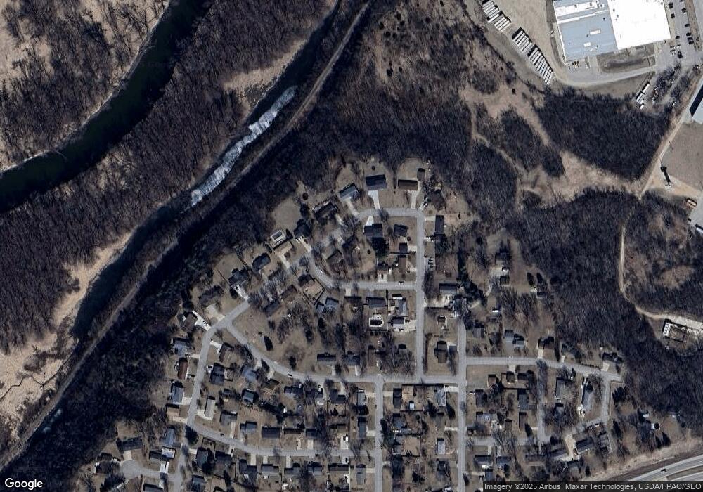
Map
Nearby Homes
- 4336 Lookout Ln
- 168 Johnson Ave
- 132 Motel Ave
- 237 Motel Ave
- 240 Motel Ave
- 232 Fern Ave
- 135 Kingswood Dr
- 980 Aurora Cir
- 808 Aurora Cir
- 936 Aurora Cir
- 853 Aurora Cir
- 3560 Graves Dr
- 912 Aurora Cir
- 4739 Big Sky Ct
- 4786 Mount Hood Ln
- 906 Snowbird Dr
- 910 Snowbird Dr
- 921 Snowbird Dr
- 914 Snowbird Dr
- 4958 Chalet Ct
- 351 Cannon View Dr
- 371 Cannon View Dr
- 244 Finrud Ave
- 385 Cannon View Dr
- 358 Cannon View Dr
- 4225 Lee St
- 337 Cannon View Dr
- 4215 Lee St
- 370 Cannon View Dr
- 346 Cannon View Dr
- 4235 Lee St
- 230 Finrud Ave
- 376 Cannon View Dr
- 336 Cannon View Dr
- 329 Cannon View Dr
- 386 Cannon View Dr
- 261 Finrud Ave
- 245 Finrud Ave
- 253 Finrud Ave
- 267 Finrud Ave