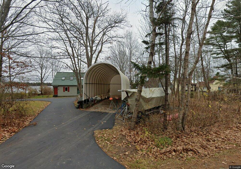
359 Lower Flying Point Rd Freeport, ME 04032
3
Beds
2
Baths
1,114
Sq Ft
0.54
Acres
About This Home
This home is located at 359 Lower Flying Point Rd, Freeport, ME 04032. 359 Lower Flying Point Rd is a home located in Cumberland County with nearby schools including Morse Street School, Mast Landing School, and Freeport Middle School.
Create a Home Valuation Report for This Property
The Home Valuation Report is an in-depth analysis detailing your home's value as well as a comparison with similar homes in the area
Home Values in the Area
Average Home Value in this Area
Tax History Compared to Growth
Map
Nearby Homes
- 44 Maquoit Dr
- 71 Merganser Way
- 136 Flying Point Rd
- 7 Lmc Ln
- 83 Central Ave
- 4 Sandy Beach Rd
- 56 S Freeport Rd
- 9 Apple Ridge Rd
- 46 Blackstone Club Rd
- Lot # 4 South St
- 28 Harvest Ridge Rd Unit 25
- 26 Harvest Ridge Rd Unit 24
- 5 Indian Ridge Rd
- 12 West St
- 0 S Freeport Rd
- 15 Loon Rd
- 1612 U S Route 1
- 125 Sunset Cove Rd
- 11 Orchard Hill Rd
- Map 80 Lot 18-0 White Island
- 361 Lower Flying Point Rd
- 351 Lower Flying Point Rd
- 363 Lower Flying Point Rd
- 345 Lower Flying Point Rd
- 365 Lower Flying Point Rd
- 360 Lower Flying Point Rd
- 339 Lower Flying Point Rd
- 369 L Flying Pnt Rd
- 352 Lower Flying Point Rd
- 362 Lower Flying Point Rd
- 369 Lower Flying Point Rd
- 348 Lower Flying Point Rd
- 374 Lower Flying Point Rd
- 8 Cunningham Rd
- 331 Lower Flying Point Rd
- 338 Lower Flying Point Rd
- 11 Cunningham Rd
- 373 Lower Flying Point Rd
- 327 Lower Flying Point Rd
- 327 Lower Flying Point Rd