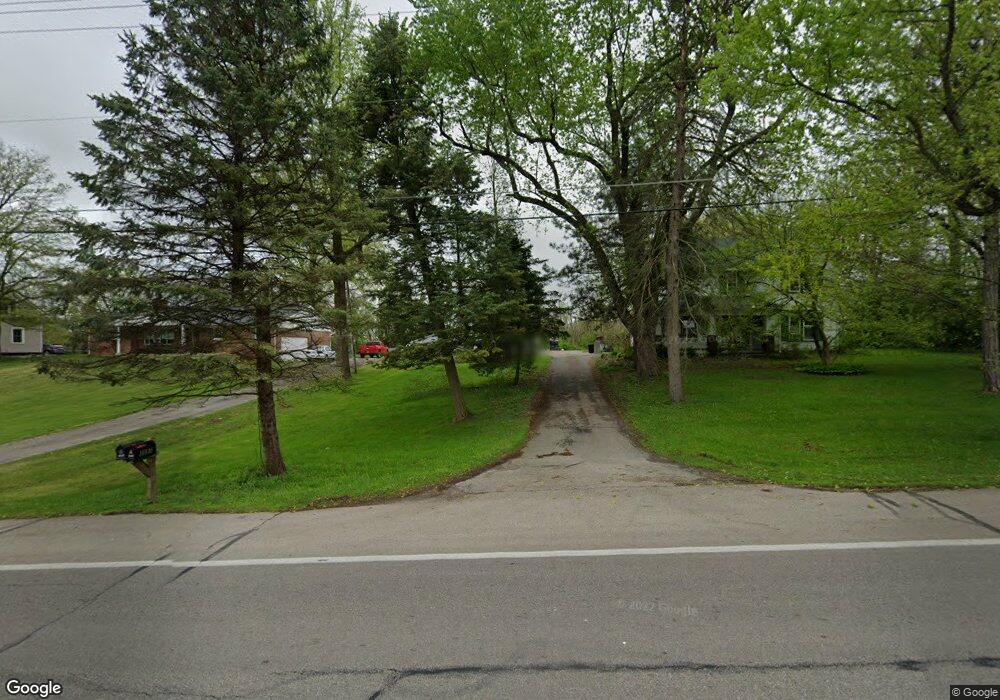
3591 W National Rd Springfield, OH 45504
Cedar Hills/Broadview NeighborhoodEstimated Value: $230,000 - $318,394
3
Beds
3
Baths
1,969
Sq Ft
$137/Sq Ft
Est. Value
About This Home
This home is located at 3591 W National Rd, Springfield, OH 45504 and is currently estimated at $269,099, approximately $136 per square foot. 3591 W National Rd is a home located in Clark County with nearby schools including Shawnee Middle School/High School, Clark Preparatory Academy, and Springfield Christian School.
Ownership History
Date
Name
Owned For
Owner Type
Purchase Details
Closed on
Apr 21, 2003
Sold by
Sue Castle Jeffrey Alan and Sue Kimberly
Bought by
Hennigan David H and Hennigan Geri L
Current Estimated Value
Home Financials for this Owner
Home Financials are based on the most recent Mortgage that was taken out on this home.
Original Mortgage
$154,426
Outstanding Balance
$66,146
Interest Rate
5.71%
Mortgage Type
FHA
Estimated Equity
$202,953
Purchase Details
Closed on
Jun 13, 1986
Create a Home Valuation Report for This Property
The Home Valuation Report is an in-depth analysis detailing your home's value as well as a comparison with similar homes in the area
Home Values in the Area
Average Home Value in this Area
Purchase History
| Date | Buyer | Sale Price | Title Company |
|---|---|---|---|
| Hennigan David H | $156,900 | -- | |
| -- | $73,500 | -- |
Source: Public Records
Mortgage History
| Date | Status | Borrower | Loan Amount |
|---|---|---|---|
| Open | Hennigan David H | $154,426 |
Source: Public Records
Tax History Compared to Growth
Tax History
| Year | Tax Paid | Tax Assessment Tax Assessment Total Assessment is a certain percentage of the fair market value that is determined by local assessors to be the total taxable value of land and additions on the property. | Land | Improvement |
|---|---|---|---|---|
| 2024 | $2,915 | $59,690 | $12,320 | $47,370 |
| 2023 | $2,915 | $59,690 | $12,320 | $47,370 |
| 2022 | $2,892 | $59,690 | $12,320 | $47,370 |
| 2021 | $2,547 | $47,070 | $9,550 | $37,520 |
| 2020 | $2,568 | $47,070 | $9,550 | $37,520 |
| 2019 | $2,608 | $47,070 | $9,550 | $37,520 |
| 2018 | $2,264 | $40,300 | $8,680 | $31,620 |
| 2017 | $2,320 | $40,296 | $8,680 | $31,616 |
| 2016 | $2,093 | $40,296 | $8,680 | $31,616 |
| 2015 | $2,105 | $39,176 | $8,680 | $30,496 |
| 2014 | $2,111 | $39,176 | $8,680 | $30,496 |
| 2013 | $1,834 | $39,176 | $8,680 | $30,496 |
Source: Public Records
Map
Nearby Homes
- 3721 W National Rd
- 124 Old Mill Rd
- 224 E Downey Dr
- 323 Saint Paul Ave
- 3587 Lower Valley Pike
- 570 Aberfelda Dr
- 201 Beech Dr
- 190 Oakridge Dr
- 709 Shrine Rd
- 4461 New Carlisle Pike
- 0 Upper Valley Pike
- 2805 Cottonwood Dr
- 361 Upper Valley Pike
- 3939 Shrine Rd
- 3161 Dayton Springfield Rd
- 3161 Dayton Rd
- 1290 Red Oaks Cir
- 245 Gordon Rd
- 3623 W National Rd
- 3561 W National Rd
- 3545 W National Rd
- 3600 W National Rd
- 3531 W National Rd
- 3618 New Carlisle Pike
- 3630 New Carlisle Pike
- 3560 W National Rd
- 25 Old Mill Rd
- 3665 W National Rd
- 3645 W National Rd Unit 3651
- 3651 W National Rd
- 3658 W National Rd
- 29 Old Mill Rd
- 37 Old Mill Rd
- 43 Old Mill Rd
- 3644 New Carlisle Pike
- 3689 W National Rd
- 16 Old Mill Rd Unit 16 Old Mill
- 3661 New Carlisle Pike