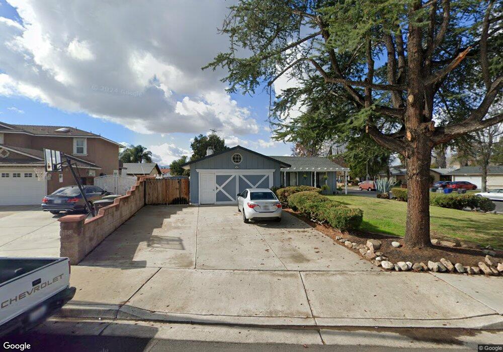
3594 Boston Cir Riverside, CA 92503
La Sierra South NeighborhoodEstimated Value: $554,000 - $602,000
3
Beds
2
Baths
1,092
Sq Ft
$528/Sq Ft
Est. Value
About This Home
This home is located at 3594 Boston Cir, Riverside, CA 92503 and is currently estimated at $577,106, approximately $528 per square foot. 3594 Boston Cir is a home located in Riverside County with nearby schools including Alan Orrenmaa Elementary School, Arizona Middle School, and Hillcrest High School.
Ownership History
Date
Name
Owned For
Owner Type
Purchase Details
Closed on
May 13, 1998
Sold by
Pfadt Richard A and Pfadt Lisa R
Bought by
Renner Ross
Current Estimated Value
Home Financials for this Owner
Home Financials are based on the most recent Mortgage that was taken out on this home.
Original Mortgage
$107,529
Outstanding Balance
$21,139
Interest Rate
7.17%
Mortgage Type
FHA
Estimated Equity
$555,967
Create a Home Valuation Report for This Property
The Home Valuation Report is an in-depth analysis detailing your home's value as well as a comparison with similar homes in the area
Home Values in the Area
Average Home Value in this Area
Purchase History
| Date | Buyer | Sale Price | Title Company |
|---|---|---|---|
| Renner Ross | $108,000 | First American Title Ins Co |
Source: Public Records
Mortgage History
| Date | Status | Borrower | Loan Amount |
|---|---|---|---|
| Open | Renner Ross | $107,529 |
Source: Public Records
Tax History Compared to Growth
Tax History
| Year | Tax Paid | Tax Assessment Tax Assessment Total Assessment is a certain percentage of the fair market value that is determined by local assessors to be the total taxable value of land and additions on the property. | Land | Improvement |
|---|---|---|---|---|
| 2025 | $2,109 | $172,409 | $63,848 | $108,561 |
| 2023 | $2,109 | $165,717 | $61,370 | $104,347 |
| 2022 | $1,954 | $162,468 | $60,167 | $102,301 |
| 2021 | $1,933 | $159,284 | $58,988 | $100,296 |
| 2020 | $1,903 | $157,652 | $58,384 | $99,268 |
| 2019 | $1,879 | $154,562 | $57,240 | $97,322 |
| 2018 | $1,854 | $151,532 | $56,118 | $95,414 |
| 2017 | $1,820 | $148,562 | $55,018 | $93,544 |
| 2016 | $1,791 | $145,650 | $53,940 | $91,710 |
| 2015 | $1,764 | $143,465 | $53,131 | $90,334 |
| 2014 | $1,758 | $140,657 | $52,092 | $88,565 |
Source: Public Records
Map
Nearby Homes
- 3526 Fillmore St
- 11485 Queensborough St
- 3567 Ganador Ct
- 3570 Gettysburg Dr
- 3701 Fillmore St Unit 71
- 3370 Fanwood Ct
- 3400 Glasgow Cir
- 11868 National Dr
- 0 Rancho Corto Dr
- 11140 Montlake Dr
- 3886 New Haven Dr
- 11499 Bridgeway Dr
- 3177 Wicklow Dr
- 11230 Reliance Dr
- 12149 Indiana Ave Unit 18
- 12149 Indiana Ave Unit 95
- 2920 Rockwood Dr
- 11390 Parkfield Ct
- 3663 Buchanan St Unit 110
- 3663 Buchanan St Unit 90
- 3584 Boston Cir
- 3597 Philadelphia Ct
- 3589 Philadelphia Ct
- 3591 Boston Cir
- 3574 Boston Cir
- 11563 Queensborough St
- 3581 Philadelphia Ct
- 11579 Queensborough St
- 11557 Queensborough St
- 3564 Boston Cir
- 3581 Boston Cir
- 11587 Queensborough St
- 11549 Queensborough St
- 3571 Boston Cir
- 3575 Philadelphia Ct
- 11617 Queensborough St
- 3588 Philadelphia Ct
- 3588 Paine Dr
- 3596 Philadelphia Ct
- 11541 Queensborough St