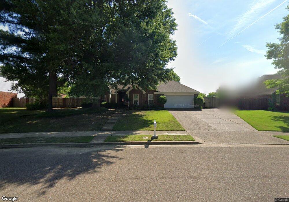
3594 Summerdale Dr Memphis, TN 38133
Estimated Value: $324,279 - $344,000
4
Beds
2
Baths
2,054
Sq Ft
$163/Sq Ft
Est. Value
About This Home
This home is located at 3594 Summerdale Dr, Memphis, TN 38133 and is currently estimated at $334,820, approximately $163 per square foot. 3594 Summerdale Dr is a home located in Shelby County with nearby schools including Oak Elementary School, Appling Middle School, and Bartlett High School.
Ownership History
Date
Name
Owned For
Owner Type
Purchase Details
Closed on
May 21, 2012
Sold by
Collins Marc Chauncey
Bought by
Collins Pamala Christel Palmer
Current Estimated Value
Purchase Details
Closed on
Aug 29, 1997
Sold by
Malone Thomas H and Malone Pamela W
Bought by
Collins Marc C and Collins Pamala C
Home Financials for this Owner
Home Financials are based on the most recent Mortgage that was taken out on this home.
Original Mortgage
$125,000
Outstanding Balance
$19,303
Interest Rate
7.43%
Estimated Equity
$315,517
Create a Home Valuation Report for This Property
The Home Valuation Report is an in-depth analysis detailing your home's value as well as a comparison with similar homes in the area
Home Values in the Area
Average Home Value in this Area
Purchase History
| Date | Buyer | Sale Price | Title Company |
|---|---|---|---|
| Collins Pamala Christel Palmer | -- | None Available | |
| Collins Marc C | $131,600 | -- |
Source: Public Records
Mortgage History
| Date | Status | Borrower | Loan Amount |
|---|---|---|---|
| Open | Collins Marc C | $125,000 |
Source: Public Records
Tax History Compared to Growth
Tax History
| Year | Tax Paid | Tax Assessment Tax Assessment Total Assessment is a certain percentage of the fair market value that is determined by local assessors to be the total taxable value of land and additions on the property. | Land | Improvement |
|---|---|---|---|---|
| 2025 | $1,942 | $78,825 | $15,500 | $63,325 |
| 2024 | $1,942 | $57,300 | $11,200 | $46,100 |
| 2023 | $2,934 | $57,300 | $11,200 | $46,100 |
| 2022 | $2,934 | $57,300 | $11,200 | $46,100 |
| 2021 | $2,980 | $57,300 | $11,200 | $46,100 |
| 2020 | $2,656 | $45,175 | $9,500 | $35,675 |
| 2019 | $2,656 | $45,175 | $9,500 | $35,675 |
| 2018 | $2,656 | $45,175 | $9,500 | $35,675 |
| 2017 | $1,857 | $45,175 | $9,500 | $35,675 |
| 2016 | $1,734 | $39,675 | $0 | $0 |
| 2014 | $1,734 | $39,675 | $0 | $0 |
Source: Public Records
Map
Nearby Homes
- 8121 Highway 70 E
- 7543 Highway 70 E
- 0 HIGHWAY Highway 70 E
- 7471 Olivia Hill Dr
- 7460 Dorrington Cove
- 3785 Aaron Cove
- 3441 Sunswept Dr
- 3589 Broadway Rd
- 7540 Highway 70 E
- 3305 Summerdale Dr
- 3418 Broadway St
- 3610 Greenleaf Rd
- 7341 4th Ave
- 7185 Deerfield Rd
- 7205 Andrews Rd
- 7827 Jills Creek Cove
- 3979 Wheelers Place
- 7877 Hyman Dr
- 7881 Country Lake Dr
- 3830 Haynes Rd
- 3586 Summerdale Dr
- 3600 Summerdale Dr
- 7521 Mark Adams Cove
- 7518 Mark Adams Cove
- 3591 Summerdale Dr
- 3576 Summerdale Dr
- 7477 Summernite Dr
- 3615 Summerdale Dr
- 7527 Mark Adams Cove
- 3585 Summerdale Dr
- 3577 August Dr
- 7483 Summernite Dr
- 7495 Summernite Dr
- 3573 Summerdale Dr
- 3566 Summerdale Dr
- 7526 Mark Adams Cove
- 7509 Summernite Dr
- 3567 August Dr
- 3572 Harvest Ln
- 7467 Summerdale Cove