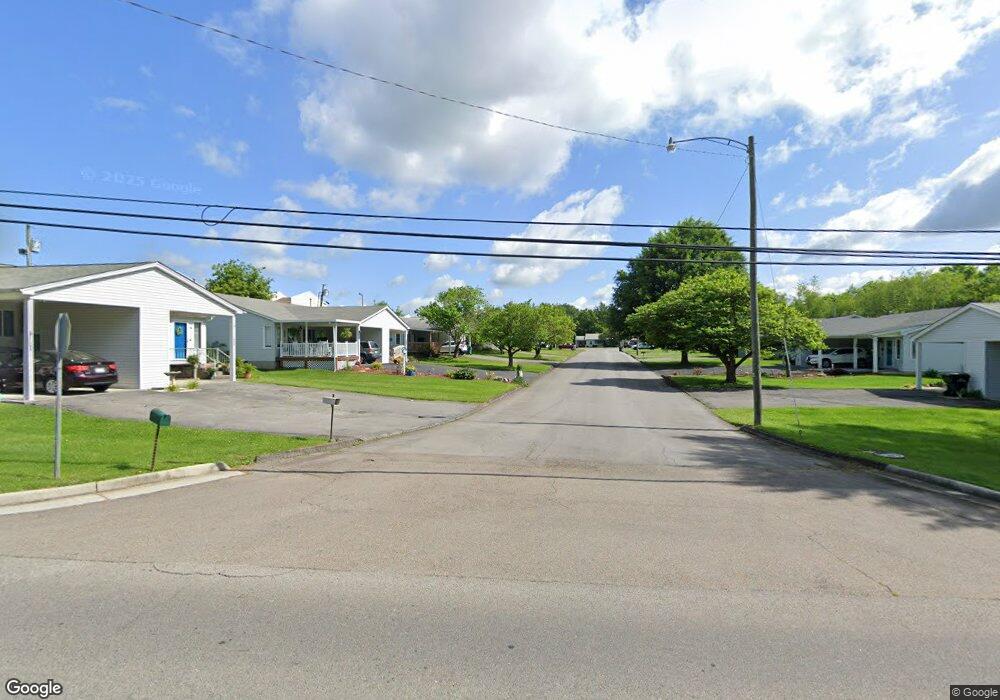
36 Aspen Cir Bristol, VA 24201
Estimated Value: $136,000 - $178,000
2
Beds
2
Baths
904
Sq Ft
$165/Sq Ft
Est. Value
About This Home
This home is located at 36 Aspen Cir, Bristol, VA 24201 and is currently estimated at $149,183, approximately $165 per square foot. 36 Aspen Cir is a home located in Bristol City with nearby schools including Virginia High School, St. Anne Catholic School, and MINNICK SCHOOL - BRISTOL.
Ownership History
Date
Name
Owned For
Owner Type
Purchase Details
Closed on
Dec 19, 2023
Sold by
Baker Priscilla Faye
Bought by
Baker Michael Neil and Baker Kimberly
Current Estimated Value
Purchase Details
Closed on
May 23, 2023
Sold by
Baker Bobby R and Baker Priscilla
Bought by
Baker Bobby R and Baker Priscilla
Purchase Details
Closed on
Apr 24, 2017
Sold by
Mullins Ronnie L and Mullins Mary H
Bought by
Brewster Thomas J
Purchase Details
Closed on
Sep 22, 2010
Sold by
Woodby Kathy L
Bought by
Mullins Ronnie L and Mullins Mary H
Home Financials for this Owner
Home Financials are based on the most recent Mortgage that was taken out on this home.
Original Mortgage
$62,000
Interest Rate
4.48%
Mortgage Type
Land Contract Argmt. Of Sale
Create a Home Valuation Report for This Property
The Home Valuation Report is an in-depth analysis detailing your home's value as well as a comparison with similar homes in the area
Home Values in the Area
Average Home Value in this Area
Purchase History
| Date | Buyer | Sale Price | Title Company |
|---|---|---|---|
| Baker Michael Neil | $83,700 | None Listed On Document | |
| Baker Bobby R | -- | None Listed On Document | |
| Baker Bobby R | -- | None Listed On Document | |
| Brewster Thomas J | $63,500 | Attorney | |
| Mullins Ronnie L | $67,000 | -- |
Source: Public Records
Mortgage History
| Date | Status | Borrower | Loan Amount |
|---|---|---|---|
| Previous Owner | Mullins Ronnie L | $62,000 |
Source: Public Records
Tax History Compared to Growth
Tax History
| Year | Tax Paid | Tax Assessment Tax Assessment Total Assessment is a certain percentage of the fair market value that is determined by local assessors to be the total taxable value of land and additions on the property. | Land | Improvement |
|---|---|---|---|---|
| 2025 | $1,199 | $128,900 | $10,000 | $118,900 |
| 2024 | $937 | $83,700 | $7,500 | $76,200 |
| 2023 | $979 | $83,700 | $7,500 | $76,200 |
| 2022 | $937 | $83,700 | $7,500 | $76,200 |
| 2021 | $937 | $83,700 | $7,500 | $76,200 |
| 2020 | $764 | $65,300 | $7,500 | $57,800 |
| 2019 | $764 | $65,300 | $7,500 | $57,800 |
| 2018 | $382 | $65,300 | $7,500 | $57,800 |
| 2016 | -- | $59,700 | $0 | $0 |
| 2014 | -- | $0 | $0 | $0 |
Source: Public Records
Map
Nearby Homes
- 153 Brandon Ln
- 126 Timber Ridge Rd
- 118 Timberbrook Dr
- 542 Mosswood Ln
- 103 Timberbrook Dr
- 616 Old Airport Rd
- 849 Meadowcrest Dr
- 109 Canterbury Ln
- 110 Norwood Dr
- 525 Shakesville Rd
- 324 Bellehaven Dr
- 105 Dewey Ct
- 142 Freedom Rd
- 127 Oakcrest Cir Unit 4
- 328 Winding Way Rd
- 145 Kami Cir
- 175 Colony Cir
- 219 Tall Timbers Dr
- 363 Timber Oak Dr
- 234 Chester Hill Rd
