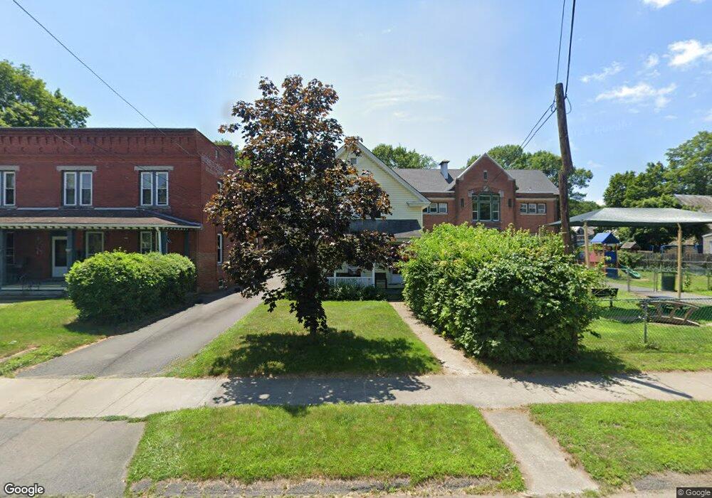
36 Central St Turners Falls, MA 01376
Estimated Value: $224,000 - $264,000
2
Beds
1
Bath
1,001
Sq Ft
$243/Sq Ft
Est. Value
About This Home
This home is located at 36 Central St, Turners Falls, MA 01376 and is currently estimated at $243,571, approximately $243 per square foot. 36 Central St is a home located in Franklin County with nearby schools including Holy Trinity School and Four Winds School.
Ownership History
Date
Name
Owned For
Owner Type
Purchase Details
Closed on
Oct 18, 2005
Sold by
Wynne Nathan
Bought by
Hall Richard E and Hall Thomasina
Current Estimated Value
Home Financials for this Owner
Home Financials are based on the most recent Mortgage that was taken out on this home.
Original Mortgage
$116,000
Outstanding Balance
$61,406
Interest Rate
5.78%
Mortgage Type
Purchase Money Mortgage
Estimated Equity
$182,165
Purchase Details
Closed on
Jul 9, 2004
Sold by
Stanley Todd C and Stanley Lindsay V
Bought by
Wynne Nathan
Home Financials for this Owner
Home Financials are based on the most recent Mortgage that was taken out on this home.
Original Mortgage
$106,700
Interest Rate
6.32%
Mortgage Type
Purchase Money Mortgage
Purchase Details
Closed on
Jul 29, 1999
Sold by
Powers William J
Bought by
Stanley Todd C and Twaros Lindsay
Create a Home Valuation Report for This Property
The Home Valuation Report is an in-depth analysis detailing your home's value as well as a comparison with similar homes in the area
Home Values in the Area
Average Home Value in this Area
Purchase History
| Date | Buyer | Sale Price | Title Company |
|---|---|---|---|
| Hall Richard E | $145,000 | -- | |
| Hall Richard E | $145,000 | -- | |
| Wynne Nathan | $110,000 | -- | |
| Wynne Nathan | $110,000 | -- | |
| Stanley Todd C | $53,000 | -- | |
| Stanley Todd C | $53,000 | -- |
Source: Public Records
Mortgage History
| Date | Status | Borrower | Loan Amount |
|---|---|---|---|
| Open | Hall Richard E | $116,000 | |
| Closed | Stanley Todd C | $116,000 | |
| Previous Owner | Stanley Todd C | $106,700 | |
| Previous Owner | Stanley Todd C | $3,300 |
Source: Public Records
Tax History Compared to Growth
Tax History
| Year | Tax Paid | Tax Assessment Tax Assessment Total Assessment is a certain percentage of the fair market value that is determined by local assessors to be the total taxable value of land and additions on the property. | Land | Improvement |
|---|---|---|---|---|
| 2025 | $2,919 | $191,900 | $51,700 | $140,200 |
| 2024 | $2,730 | $173,900 | $51,700 | $122,200 |
| 2023 | $2,631 | $168,100 | $51,700 | $116,400 |
| 2022 | $2,554 | $152,400 | $51,700 | $100,700 |
| 2021 | $2,435 | $139,600 | $42,700 | $96,900 |
| 2020 | $4,918 | $123,900 | $42,700 | $81,200 |
| 2019 | $4,758 | $125,800 | $49,200 | $76,600 |
| 2018 | $2,117 | $123,900 | $49,200 | $74,700 |
| 2017 | $4,321 | $123,900 | $49,200 | $74,700 |
| 2016 | $2,217 | $125,900 | $48,000 | $77,900 |
| 2015 | $2,135 | $125,900 | $48,000 | $77,900 |
| 2014 | $2,057 | $125,900 | $48,000 | $77,900 |
Source: Public Records
Map
Nearby Homes
- 30 Park St
- 21 Hillside Ave
- 0 Millers Falls Rd Unit 73034825
- 45 Millers Falls Rd
- 89 Montague St
- 2 Alice St
- 114 Montague St
- 202 Turnpike Rd
- 183 Millers Falls Rd
- 79 Burnham Rd
- 55 A + B Randall Rd
- 001 Adams Rd
- 696 Bernardston Rd
- 38 Randall Wood Dr
- 72 Meadowood Dr
- 31 Lovers Ln
- 335 Federal St
- 69 Madison Cir
- 93 Maple St
- 10 Tulip Ln